Most recent
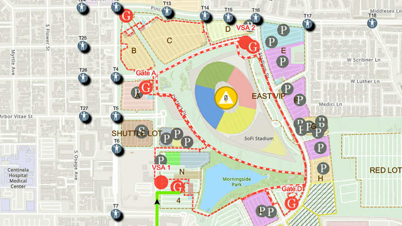
One City, One Common Operating Picture: How Inglewood Used ArcGIS to Support World Cup Operations
As FIFA World Cup 2026 hit North America, Inglewood, CA had its own high-stakes story: how technology helped the city keep pace.

Thriving Communities Are Powered by GIS‑Enabled Permitting

Celebrating Innovation Driven by GIS During National Public Works Week

Esri Water|
Texarkana Water Utilities: Advancing GIS, Cloud Resilience, and AMS Integration
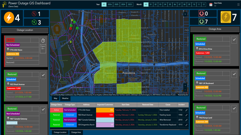
Modernizing Con Edison’s Network with Digital GIS

Esri's NPC 26 Recap: Housing, AI, and GIS Innovation in Detroit
Esri AEC|
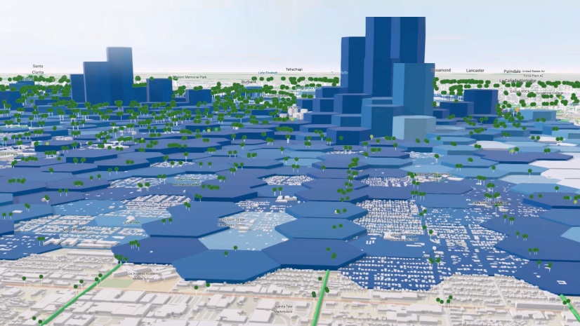
Designing Cities Around Transit: A Design-Led Perspective for the AEC Industry
The Future of the GIS Analyst: 4 Skills Every GIS Student Needs Before Graduating

Multiple Authors|
Advancing Construction Safety with ArcGIS Velocity & the ArcGIS Platform
The Business Cases for GIS‑Based Obstacle Analysis

From Safety to Strategy: Why Airports Need GIS to Power Safety Management Systems (SMS)
What’s Next in Retail Real Estate: ICSC Las Vegas
Multiple Authors|