March 12, 2026 |
Carrie Speranza | Public Safety
How Virginia Beach Built a New Emergency Operations Platform in 18 Months
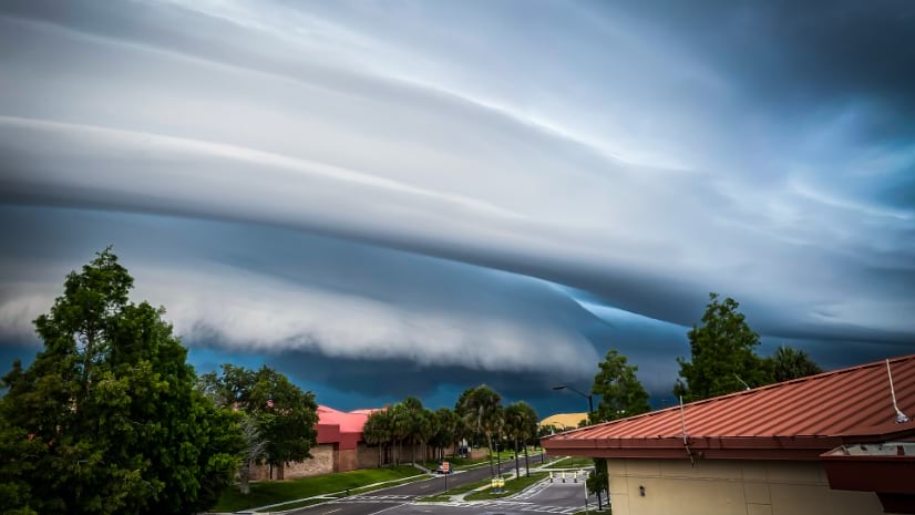
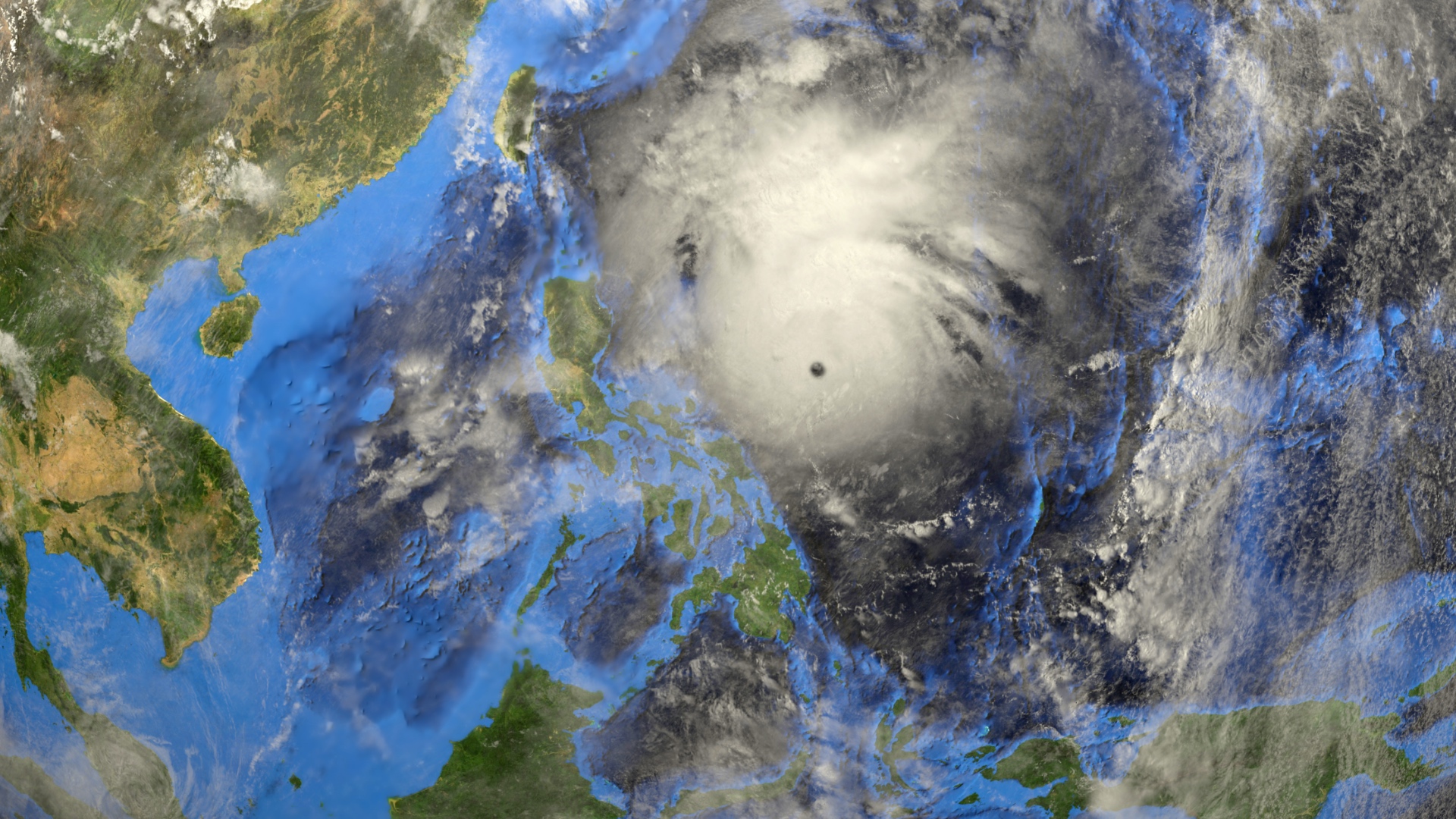
A freak tornado during a festival revealed Virginia Beach’s fractured emergency management systems, spurring an 18-month transformation.