July 5, 2026 |
Dr. Dawn Wright | Mapping
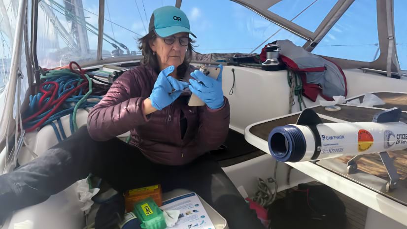
Crowdsourcing Ocean Research: How Sailors Are Filling a Gap for Science
Volunteer sailors are mapping Pacific Ocean biodiversity that scientists can't afford to reach—one water sample at a time.