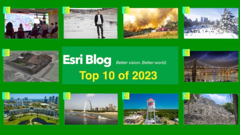
The Top 10 posts of 2023 span industries and geographies. All show an impactful use of geospatial technology to create the world we want to see. Click on the image to visit each post.

Boris Pitchforth, the lead architect at Vodafone, initially created the digital twin to offer a more detailed map of network coverage. Over time, this evolved into a vastly smarter planning tool. As Pitchforth said, “Initially, it was purely a question of producing a better map. Now it has become a much smarter way for us to plan.” The digital twin guides Vodafone’s maintenance and upgrades, and plays a crucial role in future planning.

The study carried out by Brett Sanders and his team at the University of California, Irvine’s Flood Lab, revealed a significantly higher flood exposure in Los Angeles than shown on US government maps. The team used a geospatial modelling approach specifically designed for high-performance computing, enabling them to achieve a high level of mapping detail.

“Real-time maps—powered by geographic information system (GIS) technology—provide a live operational view of every fire,” said Alexander Penha, operations deputy at Portugal’s National Authority for Emergency and Civil Protection. High-resolution images from drones and helicopters are integrated into the maps for up-to-the-minute awareness of fire locations and behavior.

The Trust for Public Land (TPL) conducted a study using geographic information system (GIS) technology to measure the fiscal impacts of city, state, and federal parks within New York City. The report, The Economic Benefits of Parks in New York City, revealed that parks lower health-care costs for people who exercise there, provide natural air and water filtration, increase property values, and promote tourism while serving as a place for people to connect with nature. “Even though we believe these values are present in our work, we’re always a little blown away by the valuations we find in some of these reports. Billions of dollars are reflected in the work of conservation,” said Mitch Hannon, TPL GIS program director.

Archeologists, led by Professor Allison Emmerson, are using Geographic Information System (GIS) technology to create a detailed, real-time digital twin of their excavation site in Pompeii. The team uses drone imagery, terrestrial photography, and structure-from-motion photogrammetry to create a base map and a 3D base model of the site. As they work, they then use tablets loaded with GIS apps to layer data over that 3D base model.

Increasing threat of climate change demands a more sophisticated understanding of flood risks, particularly in vulnerable cities like New York. This understanding is being facilitated by advances in geospatial technology, which is being utilized to improve risk maps and prioritize investments in resilience.

Florida’s Division of Emergency Management (FDEM) used geographic information system (GIS) technology to develop an interactive and user-friendly hazard mitigation plan. This approach replaced the traditional 500-page PDF report, increasing the plan’s usability and effectiveness. “We met with local jurisdictions, and they told us they didn’t find the previous plan useful, which is a dagger to our heart for this huge five-year effort,” lamented Kristin Lentz, the mitigation planning manager at FDEM. The new plan incorporated data-rich maps and insightful narratives, making it a more engaging and informative tool for stakeholders.

The US Army Corps of Engineers utilize various GIS-powered systems to maintain the flow of commerce along the Mississippi River, America’s most essential inland waterway. The Corps has had to adapt to the increasing unpredictability of weather patterns causing fluctuations in water levels. Mitchell, a research civil engineer, stated, “We’ve got hundreds of dredge locations nationwide, and we need a tool like NavPortal to be our early-warning indicator. We need to see the worst trouble spots forming before they become full-blown emergencies.”

The Situational Awareness for Emergency Response (SAFER) platform in Frisco, Texas, has enabled the city to maintain a live map of public safety incidents and personnel locations across police, fire, and transportation departments. “Back when I started in 2001, we didn’t have an IT department, but city leadership embraced the power of GIS,” said Susan Olson, assistant director of IT, and lead for GIS and SAFER. The platform has seen continuous evolution over the past 15 years, keeping pace with the city’s growth from 30,000 to 230,000 residents.

Dr. Marcello Canuto and his team at the Middle American Research Institute (MARI) at Tulane University have been using airborne lidar data and GIS technology to uncover over 60,000 ancient Maya structures in northern Guatemala. The technology allows them to penetrate dense jungle foliage and map out probable settlement sites, greatly expanding previous knowledge of the Maya’s geographic extent.
Most time spent
- Mapping LA’s Flood Risk (Aug. 21)
- Lasting Lessons in Search and Rescue from Hurricane Ian Response (Dec. 13)
- Frisco, Texas Finds Success with a Public Safety Digital Twin (May 11)
- Inside One of Europe’s Largest Urban Development Projects (Sept. 12)
- Can a Historic Hawaii Community Modernize Without Losing What Makes it Unique? (Aug. 1)