April 23, 2024 |
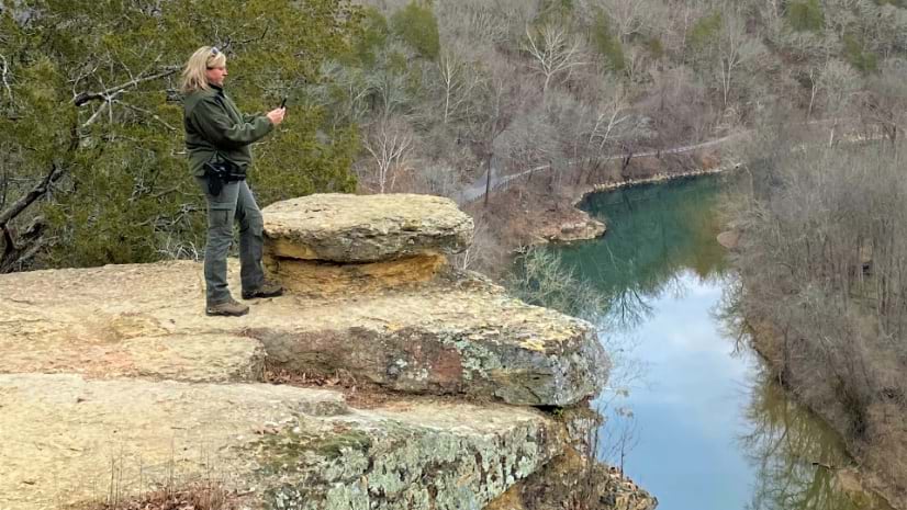
Tennessee State Parks have embraced GIS technology to empower rangers, modernize park operations, and enhance conservation efforts.
Better vision. Better world.
April 23, 2024 |
Tennessee State Parks have embraced GIS technology to empower rangers, modernize park operations, and enhance conservation efforts.
March 26, 2024

August 29, 2023 Multiple Authors |

April 9, 2024

February 20, 2024
March 12, 2024
April 2, 2024

September 12, 2023
April 18, 2024 |
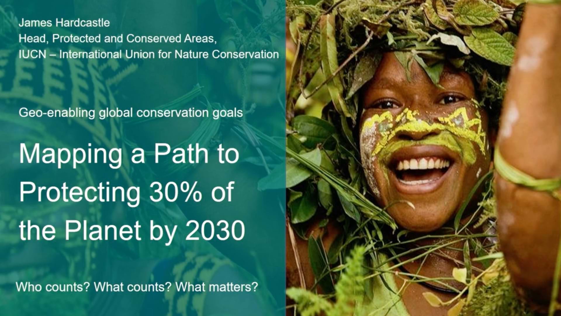
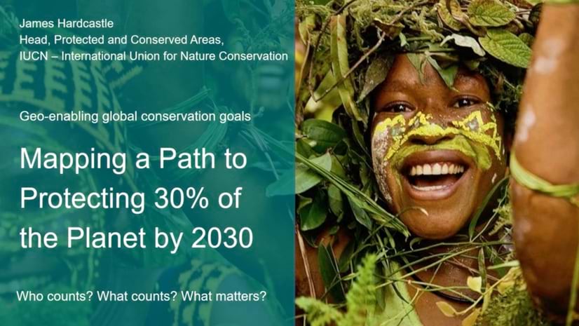
IUCN sets the standard for successful nature conservation and is working to geo-enable the process to achieve 30x30 biodiversity protection.
April 13, 2024 |
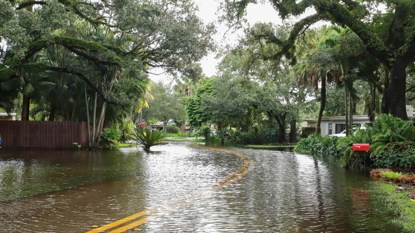
The Ten Across initiative promotes resilience and adaptation along the US Interstate 10 corridor using maps to focus on common challenges.
April 9, 2024 |
April 4, 2024 |
April 2, 2024 |
March 26, 2024 |
March 12, 2024 |
March 5, 2024 |
February 27, 2024 |
February 20, 2024 |
April 23, 2024 |
April 18, 2024 |
March 26, 2024 |
February 27, 2024 |

February 15, 2024 | Multiple Authors |
November 1, 2023 |
October 3, 2023 |

September 19, 2023 |

February 6, 2024 |
December 26, 2023 |
December 19, 2023 |
October 24, 2023 |