Last updated on October 7, 2026
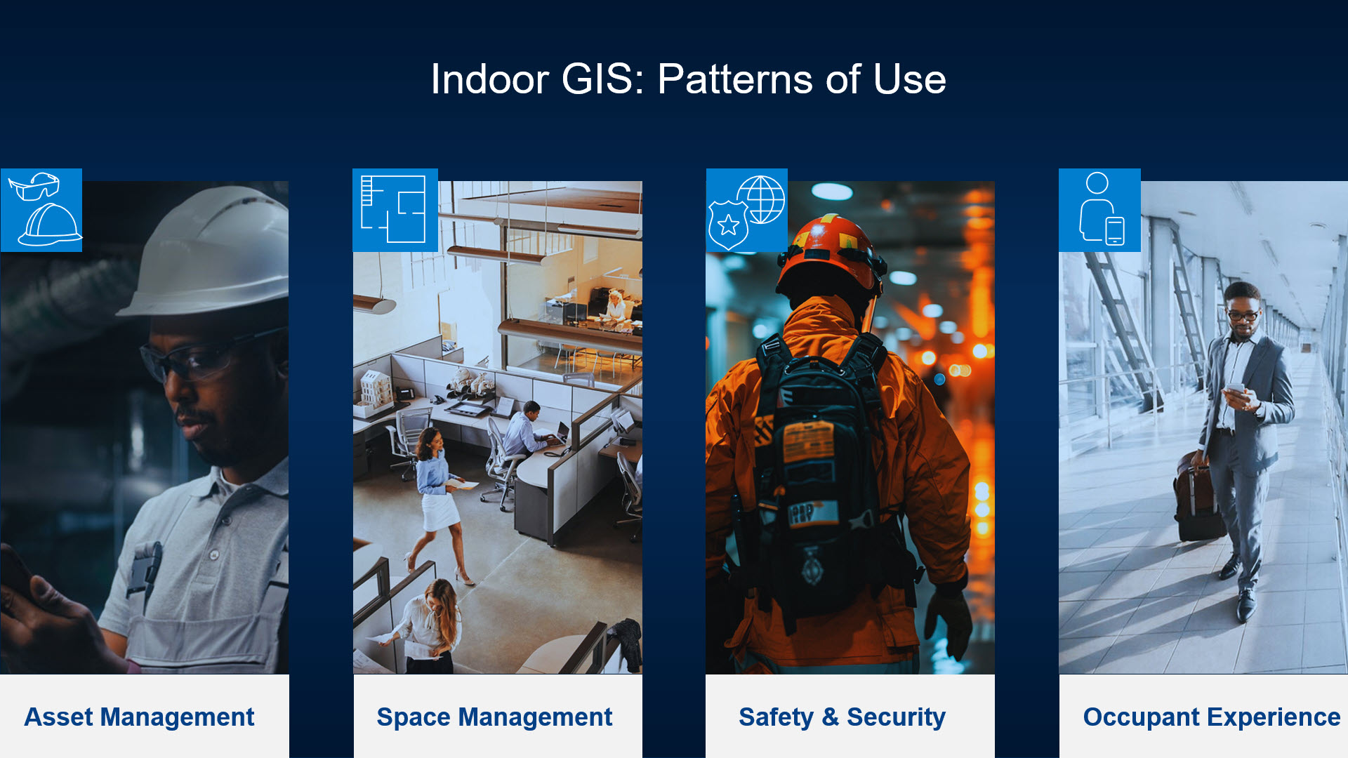
Indoor GIS is a unified floor-aware ArcGIS system for visualizing, analyzing, and managing indoor spaces. It’s powered by indoor maps created with ArcGIS Indoors and indoor positioning can be overlaid through indoor positioning. Indoor GIS capability allows organizations to create detailed maps of indoor environments, such as buildings, campuses, and facilities, to support four primary patterns of use: asset management, space management, safety and security, and occupant and visitor experience.
The indoors team at Esri has compiled a list of resources that you can explore to get started with bringing your GIS indoors.
Start Here
| Indoor GIS |
| Get an Overview |
| Review Specialty Partners |
| Sign up for Newsletter |

What is ArcGIS Indoors and Indoor Positioning
Upcoming Events
See Indoor GIS in Action at IMGIS 2026
The Esri Infrastructure Management & GIS (IMGIS) Conference takes place October 27 – 29 in Palm Springs, CA and brings together infrastructure professionals to learn how geographic information system (GIS) technology supports planning, operations, and asset management across the infrastructure lifecycle. This year’s event includes several opportunities to learn how organizations are using Indoor GIS, to improve facility operations, emergency preparedness, space management, and digital twin initiatives.

Key Topics to Review
| ArcGIS IPS will no longer be sold as a separate, for-cost product and starting in Q4 2026, it will no longer require a separate license. | Simplifying Indoor Positioning in ArcGIS |
| Digital twins are more than 3D visualizations. True operational value comes when they actively support day-to-day facility management. | Indoor GIS and The Role it Plays in Operational Digital Twins |
| Turn 360° video into spatially accurate, immersive imagery, enabling richer and more engaging understanding of indoor maps. | Preparing Immersive Indoor Imagery from 360-degree video |
| Transform the way organizations build a foundational indoor GIS with reality capture technologies, including lidar and 360° cameras. | Building an Indoor GIS with reality capture |
| Overlay live location data on floor-aware indoor maps to enable mobile workers, facility teams, and first responders to navigate complex buildings, track assets, and more. | Navigating Indoor Spaces and Day-to-Day Workflows with Indoor Positioning |
| Connect indoor GIS with existing facility management platforms to unlock powerful capabilities for data-driven decision-making that optimizes operations across the entire infrastructure lifecycle. | ArcGIS Indoors and Facility Management Systems |
| Put the power of indoor map creation directly in the hands of facilities and operations staff to make it faster and easier than ever to create, update, and maintain accurate floor-aware indoor maps. | Easy indoor map making with Floor Plan Editor |
| GIS-based indoor maps deliver far greater value than static floor plans by enabling accurate location validation, real-time situational awareness, and seamless interoperability with NG 911 systems. | Ten ways GIS extends the value of indoor maps and NG911 |
| ArcGIS enables organizations to rapidly assemble a fully functional digital twin, linking existing spatial data, real-time feeds, and 3D models in days rather than months. | Create a digital twin in seven days with ArcGIS |
Participate in our early adopter program
| Newly redesigned Indoors Kiosk |
| Indoors Floor Plan Editor |
| Indoors Mobile app |
Read about Customer Successes
Happy indoors-ing!

Commenting is not enabled for this article.