Most recent
One Company, Two Utilities: Utility Network Assessment
TXNM combined PNM and TNMP GIS's using the ArcGIS Utility Network.
Multiple Authors|
City of Scottsdale Gets Homes Wildfire Ready
Faster Permits Can't Fix the Housing Crisis Alone
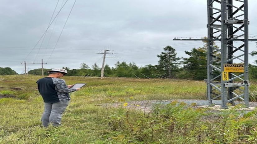
High West Energy Automates Substation Inspection with GIS
Esri AEC|
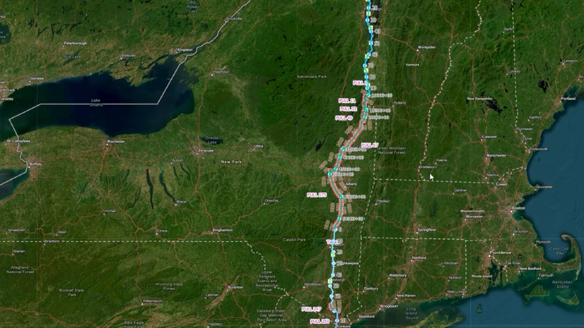
Modernizing Construction Management for a Landmark Transmission Project

Inside Trimble Innovate 2025 in Salt Lake City
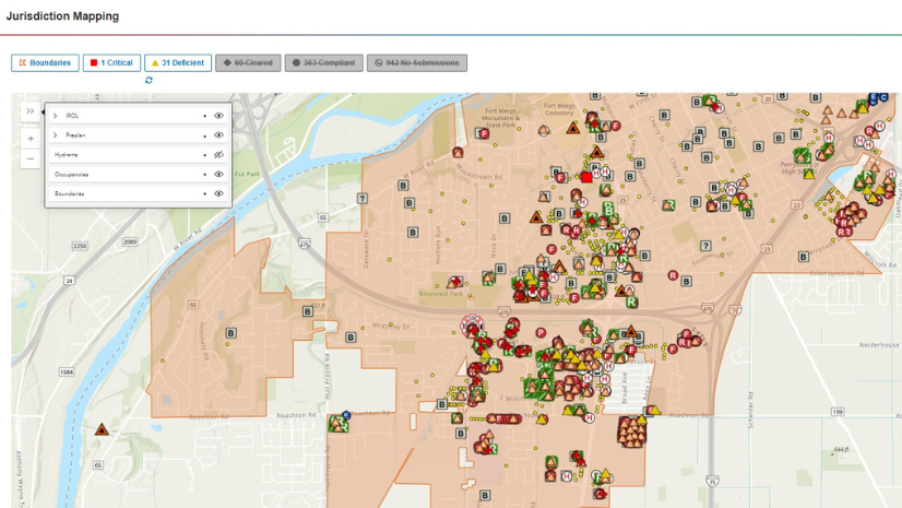
From Good Intentions to Good Data

Geospatial AI for Health: A New Era of Insight, Intelligence, and Impact

Navigating Risk: How GIS Enhances Maritime Domain Awareness
Multiple Authors|
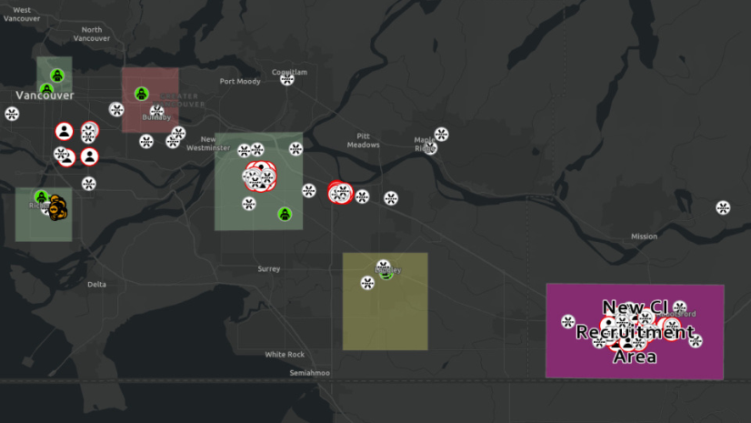
Investigative Analysis with ArcGIS Part 1: ArcGIS AllSource
GIS and Maximo at Great River Energy: Accurate Asset Data, Solid Processes, Powerful Results

Inside GIS Pro in the Rockies 2025