June 30, 2026 |
Rebecca Kahrhoff | Natural Resources
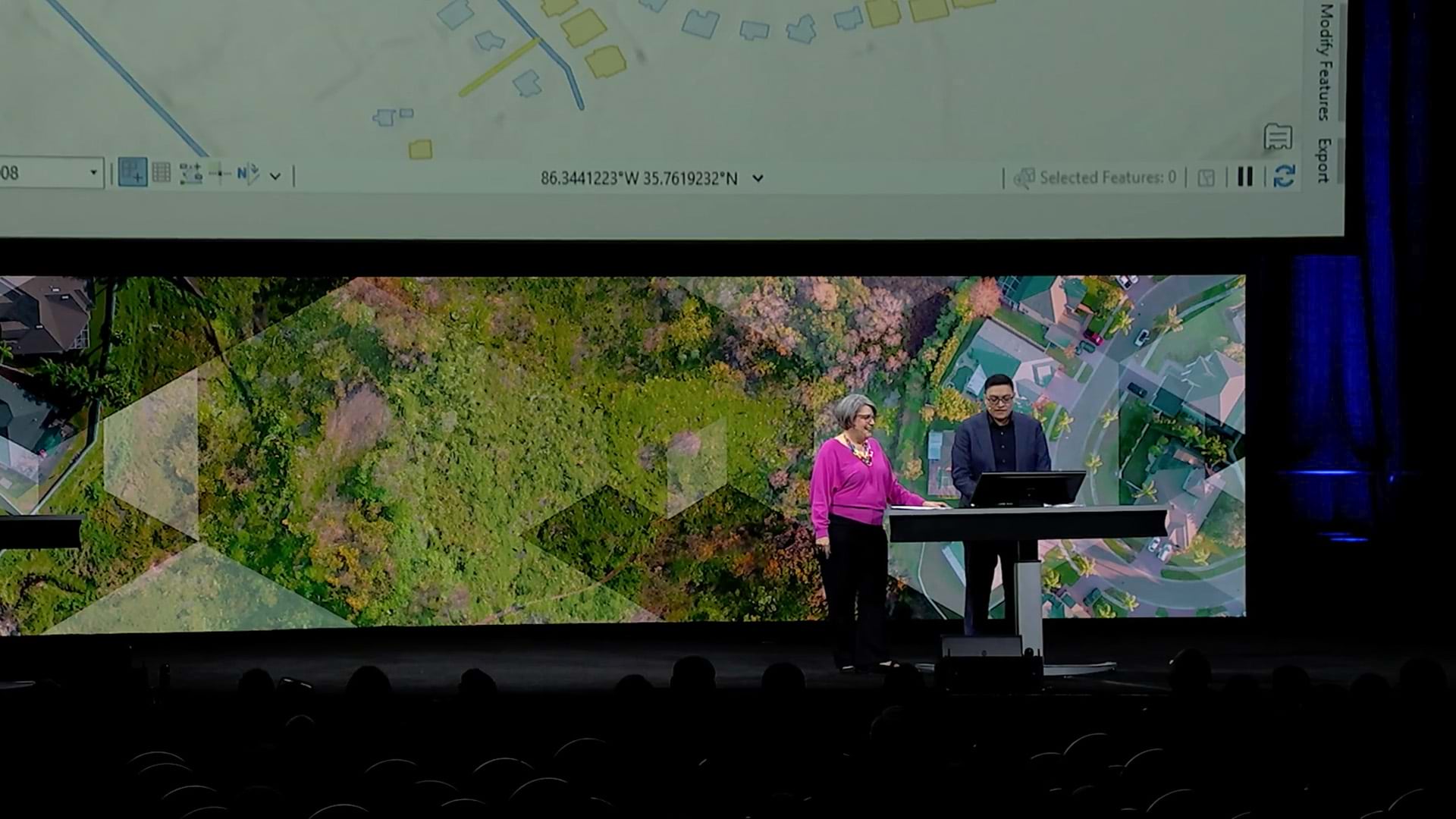
Freeport-McMoRan Stewards the Land Beyond the Mine
How Freeport-McMoRan built its environmental records system to track decades of residential cleanup work across legacy sites in multiple states.