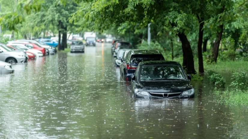
From Mapping to Prediction: Seeing the Flood Before It Arrives
How a terrain model and a decade of hydrologic science became a real-time flood map that alerts the whole US to disaster.
Better vision. Better world.
How a terrain model and a decade of hydrologic science became a real-time flood map that alerts the whole US to disaster.

September 10, 2021
Multiple Authors |
August 4, 2026
Multiple Authors |
February 26, 2026
October 30, 2025
August 13, 2026
August 18, 2026
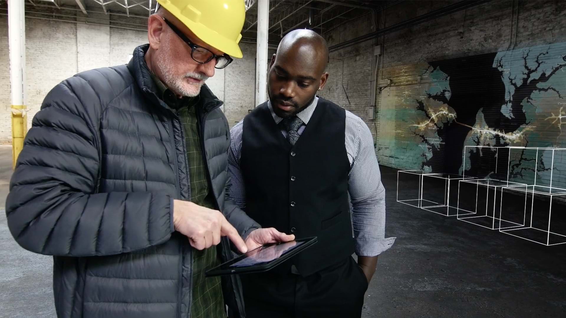
Leaders from the City of Tacoma, the Smithsonian, and other organizations take a geographic approach to make stronger decisions.
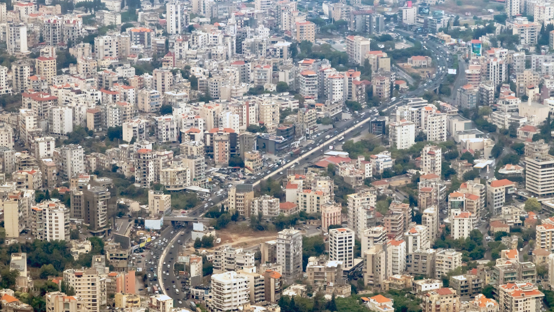
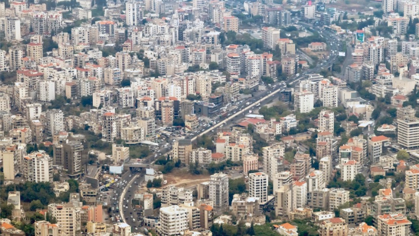
Lebanon built a crisis coordination system by positioning it as a transparent bridge between government, UN agencies, and communities.