-
-
September 3, 2025
| Esri Digital Experience
|
Announcements
-
-
-
-
August 29, 2025
| Koya Brown
|
Arcade
-
-
August 26, 2025
| Wes Jones
|
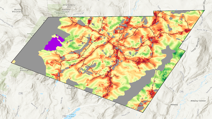
Mapping
-
-
-
August 18, 2025
| Gregory Ponto
|
Administration
-
-
August 14, 2025
| Multiple Authors
|
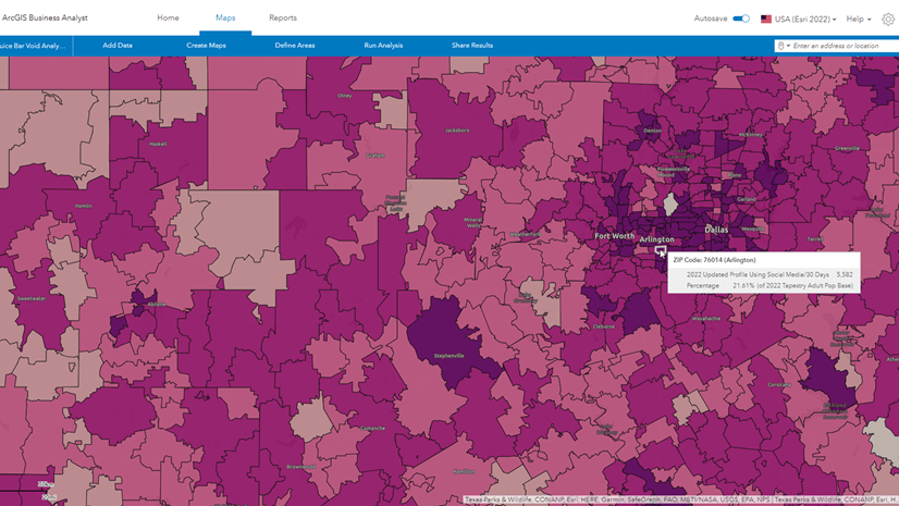
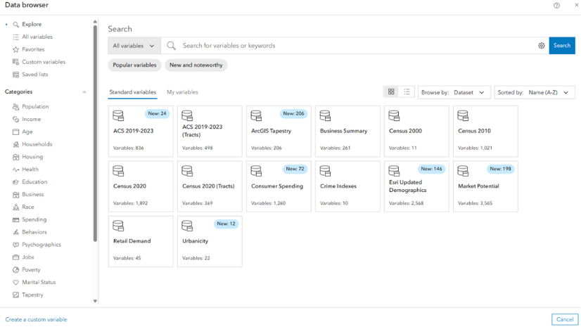
Business
-
-
-
August 11, 2025
| Multiple Authors
|
Mapping
-
August 7, 2025
| Multiple Authors
|
Administration
-
August 5, 2025
| Multiple Authors
|
Real-Time Visualization & Analytics
-
-
-
July 31, 2025
| Multiple Authors
|
Announcements
-
July 31, 2025
| Multiple Authors
|
Retail
-
July 29, 2025
| Robert Krisher
|
Water
-
July 25, 2025
| S David
|
Mapping
opens in new window