Featured Card image
Water Utilities

Most recent

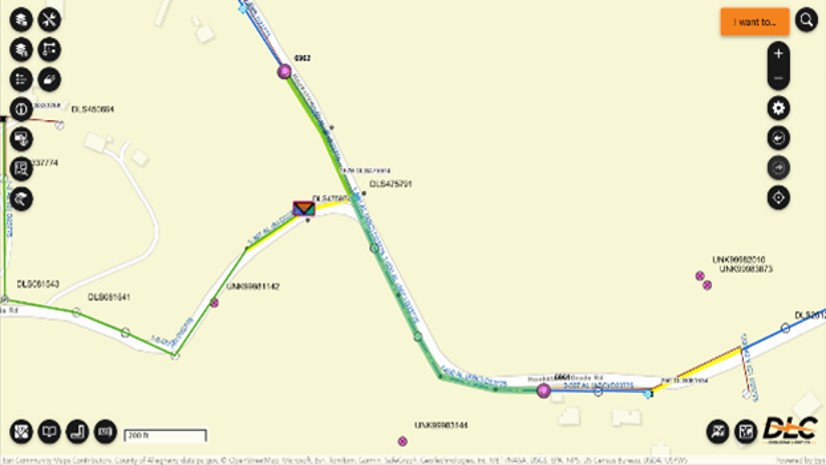
How YVWD Turned Leak Reporting into Actionable Water Intelligence

Esri Water | Water Utilities | July 06, 2026

YVWD is using ArcGIS to help operators capture accurate data, identify problem areas, and reduce water loss the district’s system.

Read this article

A New National Platform Transforms Wildfire Data into Actionable Insights
Public Safety

Anthony Schultz| Wildland Fire| September 9, 2025

A New National Platform Transforms Wildfire Data into Actionable Insights

The Hidden Complexity of Data Center Siting
Community Development

Keith Cooke| Economic Development| September 8, 2025

The Hidden Complexity of Data Center Siting

Esri is Blazing a Trail to the NRPA 2025 Annual Conference

Adam Carnow| Parks and Recreation| September 4, 2025

Esri is Blazing a Trail to the NRPA 2025 Annual Conference

Dayton Fire's Unified Command Using ArcGIS Mission

Multiple Authors| Fire, Rescue, and EMS| August 30, 2025

Dayton Fire's Unified Command Using ArcGIS Mission

Esri Brings Next-Gen Public Works to PWX 2025

Adam Carnow| Public Works| August 29, 2025

Esri Brings Next-Gen Public Works to PWX 2025

Mapping Humanitarian Open Space for Disaster Preparedness and Response
Imagery
Facsa’s GIS Journey: From Paper Maps to a Spatial Digital Twin

Esri Infrastructure| Utilities, Infrastructure and AEC| August 26, 2025

Facsa’s GIS Journey: From Paper Maps to a Spatial Digital Twin

On the Way to the Connected Digital Twin: DB Systel Relies on GIS and Location Services

Esri Infrastructure| Utilities, Infrastructure and AEC| August 26, 2025

On the Way to the Connected Digital Twin: DB Systel Relies on GIS and Location Services

Empowering the Future of Environmental Consulting with Geospatial Innovation 

Mehmet Secilmis, GISP| Architecture, Engineering, and Construction| August 25, 2025

Empowering the Future of Environmental Consulting with Geospatial Innovation 

Mapping for Mine Closure: Why GIS is the Key to Sustainable Reclamation
Mining

Rebecca Kahrhoff| Environment and Natural Resources| August 20, 2025

Mapping for Mine Closure: Why GIS is the Key to Sustainable Reclamation

1 11 12 13 14 15 61