
Most recent
One Company, Two Utilities: Utility Network Assessment
TXNM combined PNM and TNMP GIS's using the ArcGIS Utility Network.
Esri Water|
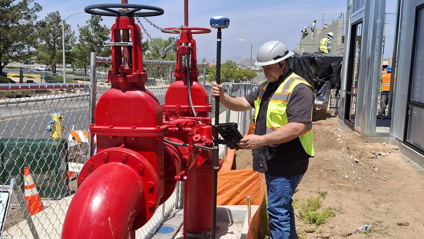
Each Precious Drop: California Utility Maps Recycled Water System with High-Accuracy GNSS and GIS

Esri Telecommunication Team|
Bluebird Fiber Accelerates Fielding, Quoting, and Design with ArcGIS

Esri Water|
Pennichuck Water Works Expands Its Digital Transformation with 3D Digital Twins
Esri Telecommunication Team|
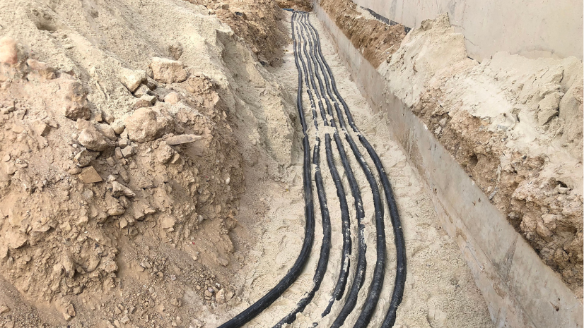
Enagás Digitalizes Fiber Network with Geospatial Technology
Esri Rail Team|
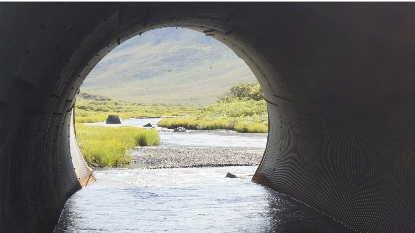
Modernizing the Caltrans Culvert Inspection Program
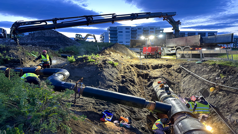
Veitur Utilities Builds a Connected, Data-Driven Enterprise with ArcGIS
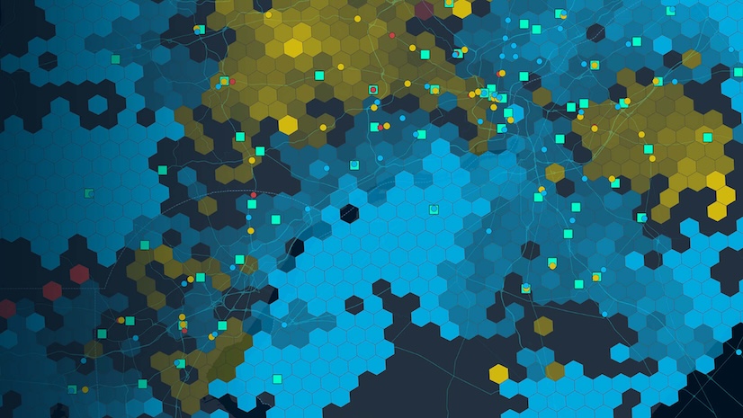
Retail’s New Map: Why Best-in-Class Brands Are Doubling Down on Location Intelligence

Winter Weather Is On-time, Are You?
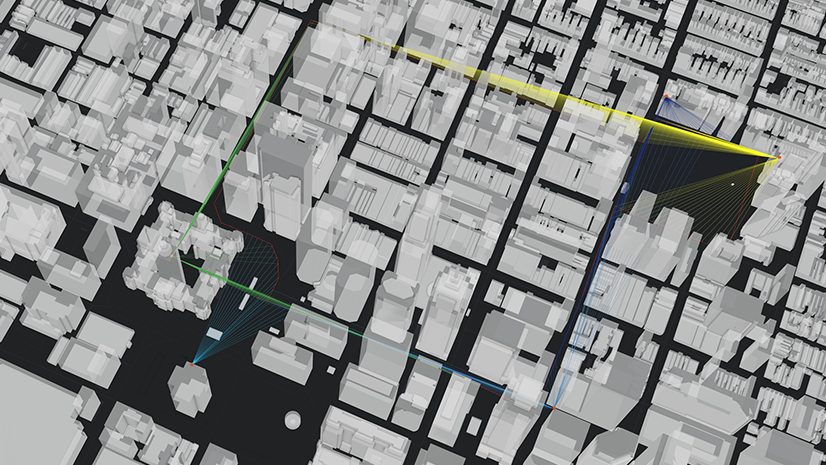
Visualizing Risk: How 3D Analysis Strengthens Security Operations
Esri Water|
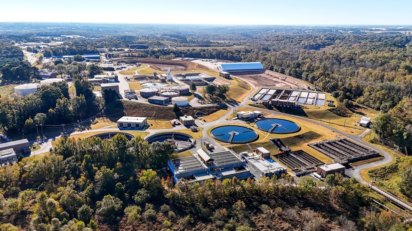
A GIS-Driven Approach to Property Management and Environmental Stewardship

Turning Data into Decisions: How FDNY Used GIS to Lead Hurricane Helene Response

Esri Rail Team|