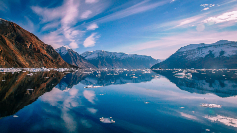
Mapping Greenland’s Fjords and Glaciers: Three Ice Tongues and the Secrets of the Seafloor
Researchers map the seabed of northern Greenland’s fjords, revealing glacier dynamics, climate impacts, and measuring sea-level rise.
Better vision. Better world.
Researchers map the seabed of northern Greenland’s fjords, revealing glacier dynamics, climate impacts, and measuring sea-level rise.
February 24, 2026
March 12, 2026
December 16, 2025
March 10, 2026
March 3, 2026
September 12, 2023
Dynamic maps give airport staff a real-time view of operations, including traffic and baggage flow, security wait times, and gate activity.
When Hurricane Melissa devastated Jamaica, Team Rubicon showed how geospatial technology can turn disaster chaos into coordinated action.