ArcGIS Enterprise 12.1
This long-term support release delivers new capabilities that simplify data management workflows and feature enhancements that improve observability, performance, and scalability.

World-class geographic intelligence for the enterprise
ArcGIS Enterprise provides advanced mapping and visualization, analytics, collaboration, and data management capabilities on self-hosted infrastructure. This powerful enterprise mapping software informs decision-making by transforming complex spatial analysis into understandable insights.
Esri is committed to consistent innovation in ArcGIS Enterprise across Windows, Linux, and Kubernetes deployment options.
These represent a small portion of the available capabilities in ArcGIS Enterprise.

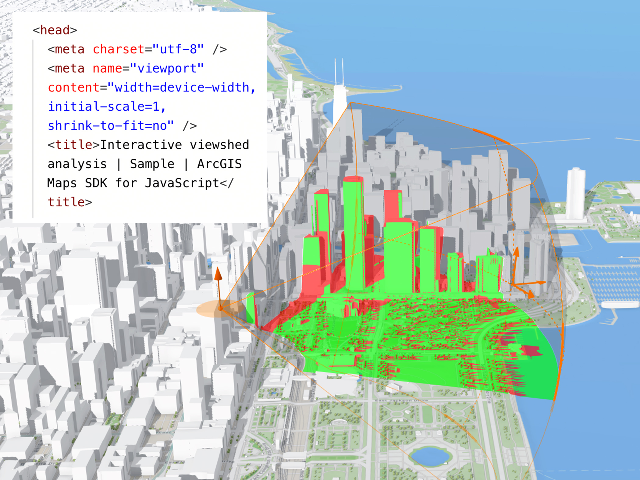
Build accurate, high-quality 2D maps and immersive 3D scenes to see patterns, relationships, and change. Overlay unlimited datasets on a map.

Connect to many types of data, including IoT and sensor feeds, enterprise data sources, and spreadsheets. Enterprise mapping software tools bring all your data together in geographic context.

Enable digital twins through an integrated 3D system of record. Manage data, link transactions, create realistic visualizations, and perform analytics—all in one place with geographic context.

Add authoritative data to your map to gain perspective and answer questions. ArcGIS includes an extensive collection of ready-to-use maps, data, and templates to accelerate enterprise mapping workflows.

Detect patterns and conduct cluster analysis to spot where events are happening, where they’re concentrated, and where anomalies stand out. Uncover complex relationships and insights with enterprise knowledge graphs.

Add advanced analysis capabilities such as raster analytics, big data analysis, and more to your system. Ingest data from IoT platforms and analyze real-time data feeds to query and analyze.

ArcGIS Enterprise has a high compute capacity that supports machine learning workflows to solve complex spatial problems. Train and run AI models using built‑in machine learning and deep learning tools.

With raster analytics on ArcGIS Enterprise on Kubernetes, you have unparalleled control to tune, monitor, and scale your imagery processing workloads. Achieve consistent performance despite unpredictable demand for service with built-in high availability, disaster recovery, and system automation.

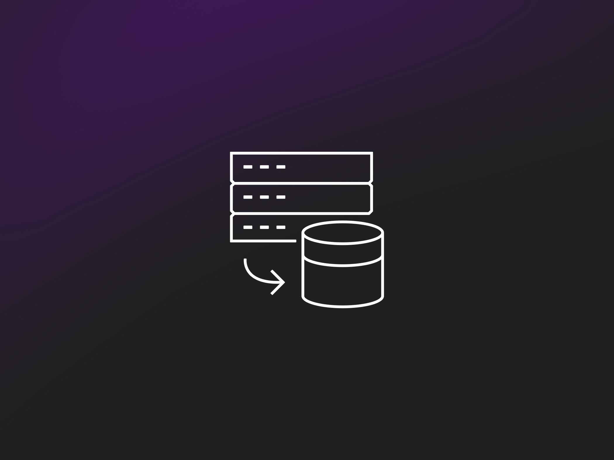
ArcGIS works directly with diverse data sources, widely supports open standards, and enables interoperability of all spatial data types and formats. Connect, manage, and access data from databases, data warehouses, and APIs for a centralized, secure view of data across the enterprise.

Create accurate spatial data and edit it from any device using streamlined data editing processes and mobile‑friendly tools. Support multiuser editing with conflict management through branch versioning. Automate data quality assurance processes with applications and built‑in checks.

ArcGIS Enterprise enables true data sovereignty by allowing organizations to store data on self-hosted infrastructure (on-premises or private cloud), ensuring data remains within specific geopolitical boundaries and complies with local regulations.

With full control of self-hosted enterprise software, organizations can configure ArcGIS Enterprise to meet data privacy and compliance standards worldwide, such as GDPR and HIPAA.

Create groups to share maps and data securely within your organization and trusted partner organizations. Crowdsource information from the public while protecting private data.

ArcGIS Enterprise gives administrators full control over how data is stored, accessed, and shared, internally and externally. Align capabilities and team roles with user-based licensing, then simply assign privileges.

Bring spatial insights to users of all skill levels with user-friendly and ready-to-use tools, dashboards, and templates. These tools are included with ArcGIS Enterprise and made accessible through user types.

While ArcGIS Enterprise runs on self-hosted infrastructure, you can easily share content between different departments or with the public through ArcGIS Online. ArcGIS Enterprise and ArcGIS Online are designed to work together seamlessly.
ArcGIS Enterprise supports both small and large organizations. Use only what you need, sizing storage and compute to match workload. Add users, capacity, and functionality to grow when needed—without investing in additional point solutions.
Developers can build custom applications and script and automate workflows to extend and integrate ArcGIS Enterprise. Use advanced mapping services in your own mapping applications or flex the ArcGIS system to meet your organization’s particular needs.

Bring custom functionality and fine-grained control to your workflows with the ArcGIS Enterprise Software Development Kit (SDK).

Automate routine administrative tasks with ArcGIS API for Python, and real-time responses to critical events with webhooks. Extend automation capabilities with machine learning and deep learning models with ArcGIS Notebook Server.
These applications are included with ArcGIS Enterprise and represent just a few of the available resources and tools for mapping, analytics, and data management.
Scale your deployment of ArcGIS Enterprise by adding advanced and job-specific capabilities. Contact sales to build the system that meets your needs.
ArcGIS Enterprise is updated twice a year for Windows and Linux environments, generally in May and November. Releases alternate between short-term support and long-term support. Releases for ArcGIS Enterprise on Kubernetes follow about a month after Windows and Linux, generally in June and December. The product life cycle for Kubernetes is different from ArcGIS Enterprise on Windows or Linux: On Kubernetes, there is no distinction between short- and long-term releases, and customers are encouraged to update at least annually. For more details, explore the ArcGIS Enterprise on Windows and Linux product life cycle and the ArcGIS Enterprise on Kubernetes product life cycle documentation.
Yes, ArcGIS Enterprise mapping software comes with massive quantities of geospatial data to help you get started and enhance your GIS. This includes the following:
There are other options for additional data needs. For disconnected deployments, purchase ArcGIS Data Appliance to host and use basemaps and reference layers.
Our sales team will help you identify and license the right ArcGIS Enterprise deployment for your organization.