-
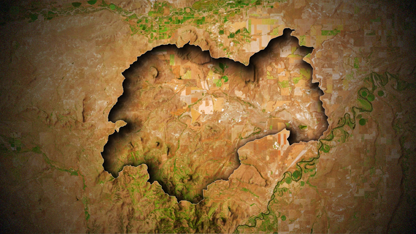
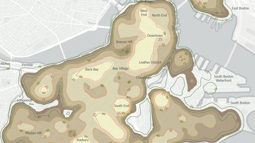
January 7, 2026
| John Nelson
|
Mapping
-
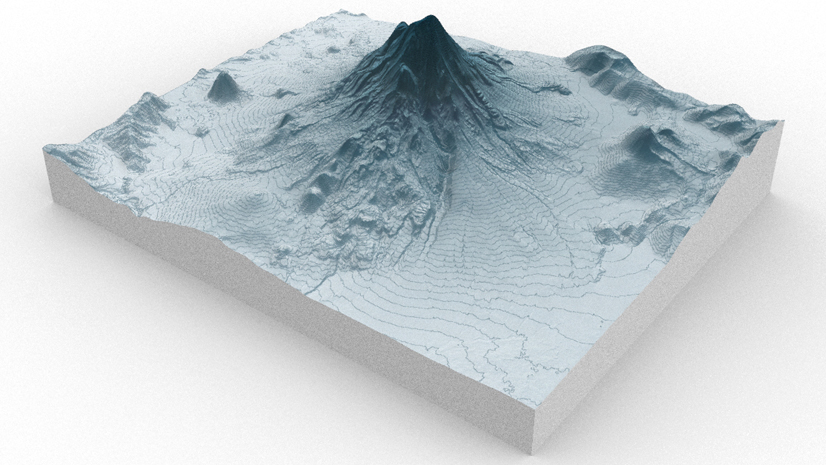
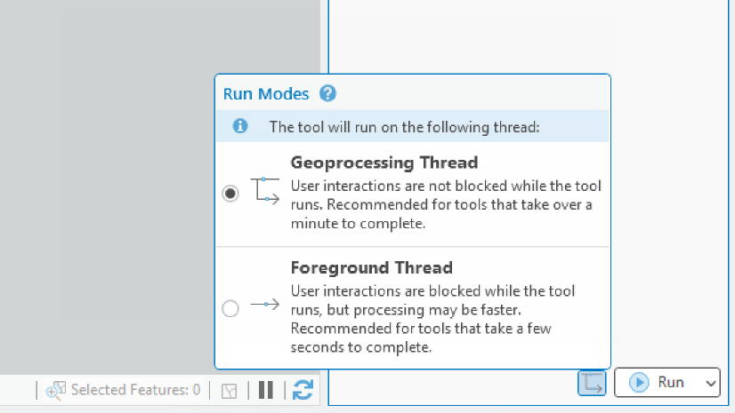
January 5, 2026
| Vedant Bajaj
|
Announcements
-
January 5, 2026
| Multiple Authors
|
Data Management
-
-
-
December 19, 2025
| Multiple Authors
|
Analytics
-
-
-
-
-
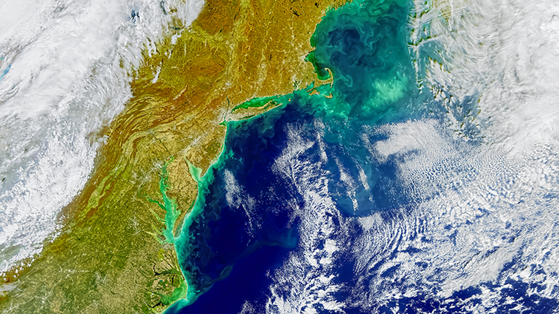
December 16, 2025
| John Nelson
|
Mapping
-
-
-
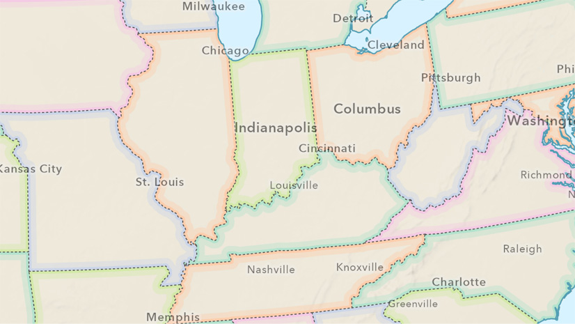
December 15, 2025
| John Nelson
|
Mapping
-
December 12, 2025
| Multiple Authors
|
Mapping
-
-
December 8, 2025
| Multiple Authors
|
Data Management
-
December 4, 2025
| John Nelson
|
Mapping
-
December 3, 2025
| Multiple Authors
|
Analytics
-
-
-
November 25, 2025
| Sydney Walker
|
Analytics
-
-
opens in new window