-
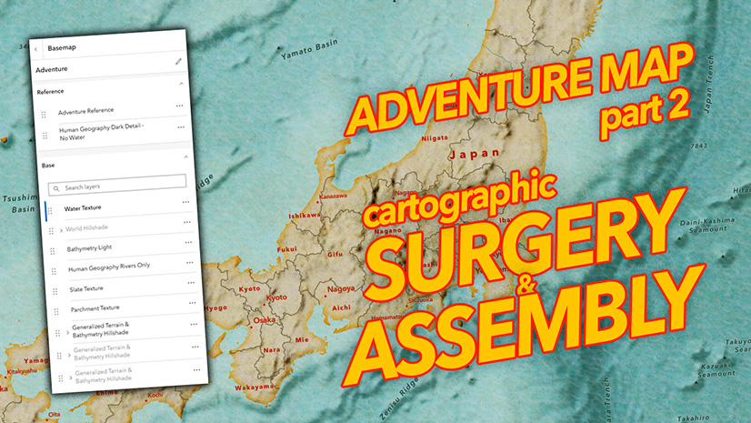
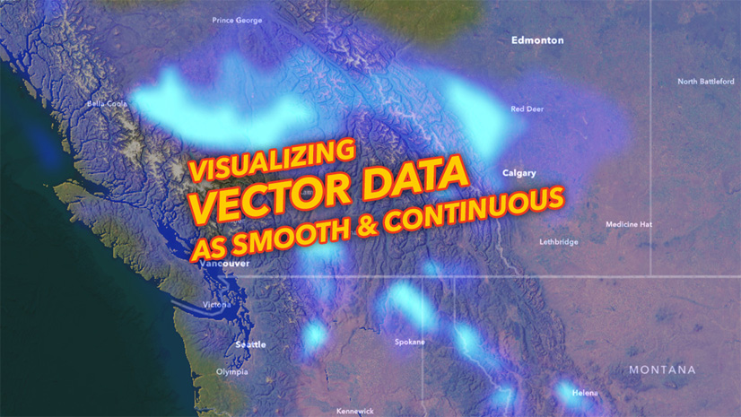
September 19, 2025
| John Nelson
|
Mapping
-
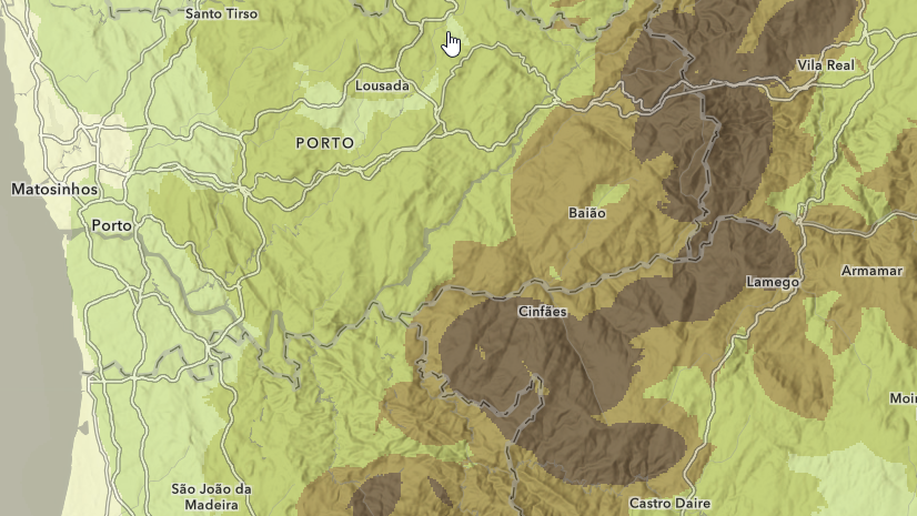
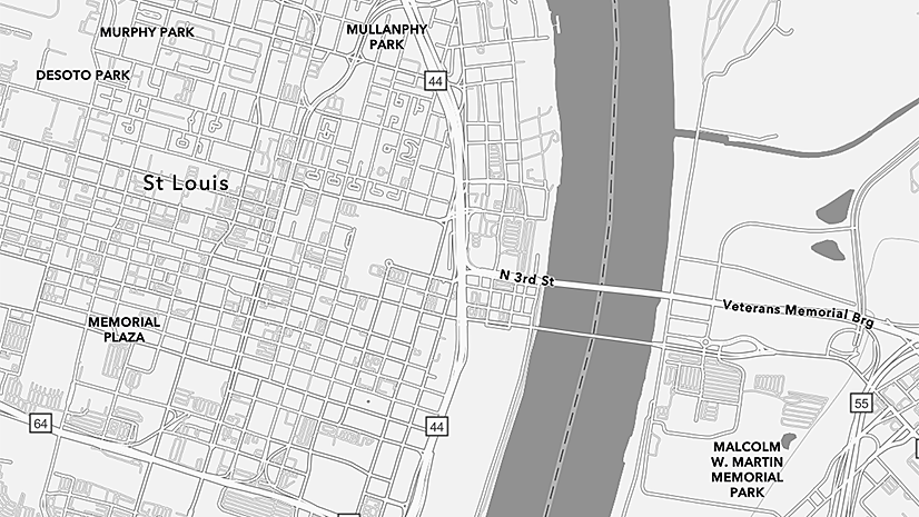
September 17, 2025
| Mark Gilbert
|
Mapping
-
-
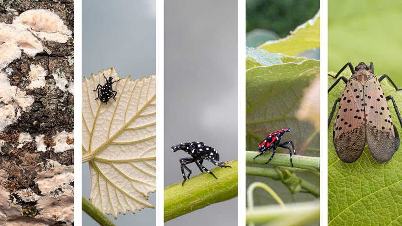
September 10, 2025
| Multiple Authors
|
Announcements
-
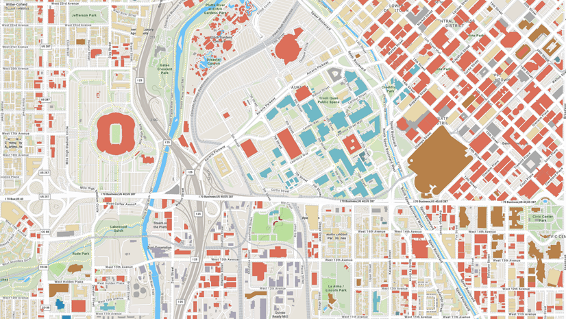
September 4, 2025
| John Nelson
|
Mapping
-
September 4, 2025
| Andy Skinner
|
Mapping
-
September 4, 2025
| Craig McCabe
|
Mapping
-
-
-
August 29, 2025
| John Nelson
|
Mapping
-
-
August 18, 2025
| Shane Matthews
|
Mapping
-
August 15, 2025
| Shane Matthews
|
Mapping
-
-
-
August 8, 2025
| Multiple Authors
|
Imagery & Remote Sensing
-
-
-
-
July 21, 2025
| Multiple Authors
|
Announcements
-
-
July 16, 2025
| Laura Phoebus
|
Arcade
-
-
July 13, 2025
| Multiple Authors
|
Imagery & Remote Sensing
opens in new window