The November 2026 update of ArcGIS Online introduces new ways to access the right data faster, automate workflows, and turn information into action. Discover and manage content more efficiently, transform unstructured information into usable GIS data, create more expressive maps and 3D experiences, and build engaging apps that help users uncover and communicate insights.
Below are highlights from the November 2026 update, along with new capabilities and enhancements across ArcGIS Online.
For a comprehensive overview of all new features and enhancements introduced in the November ArcGIS Online update, please see the What’s new help topic.
ArcGIS Online is updated three times each year. See the ArcGIS Online blog articles to learn more about previous updates to ArcGIS Online and new functionality and enhancements you may have overlooked. View all posts related to this release.
Check out our release video for an overview of the features covered in this blog:
Quick links
Use the links below to jump to sections of interest.
Data management updates
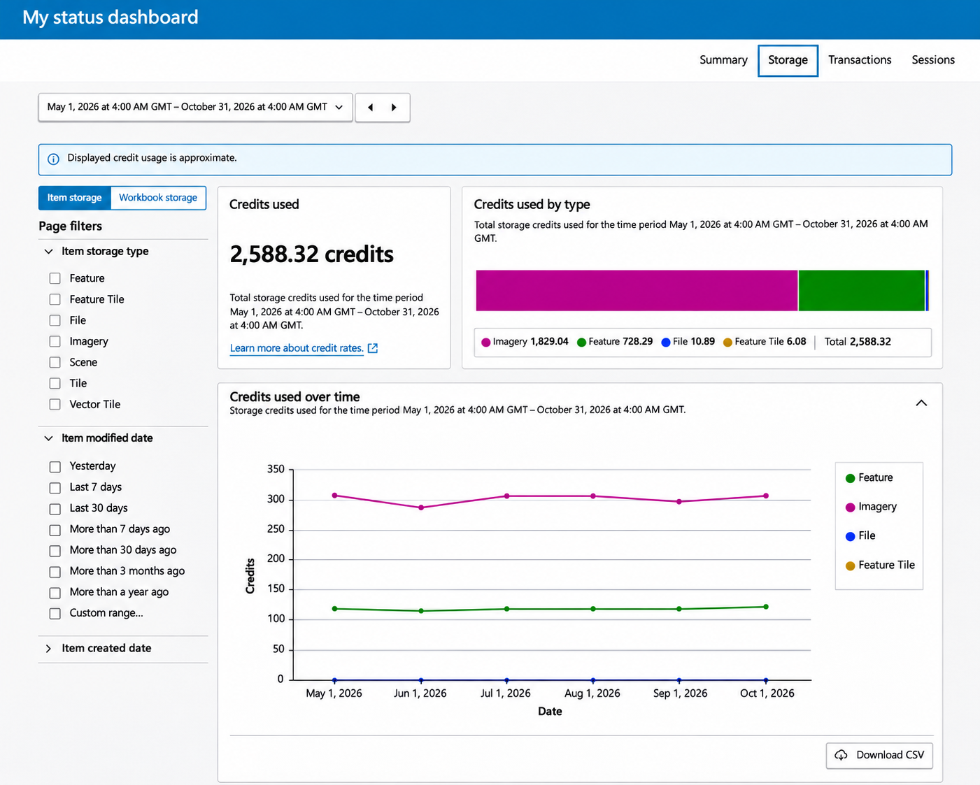
Understand your ArcGIS Online activity and credit consumption with the new member status dashboard
The new member status dashboard experience gives eligible non-administrator members a self-service view of their ArcGIS Online activity and credit consumption across storage, transactions, and sessions. Members can better understand their usage trends and the activities driving them, making it easier to investigate credit consumption, make informed content decisions, and have more productive conversations with administrators.
Location sharing expands to all user types
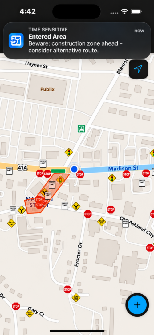
All ArcGIS user types now include Location Sharing and Mobile Worker, Creator, Professional, and Professional Plus user types now include Location History. This means all users can share their Last Known Location. Mobile Worker and above users can also share Location History, verifying when and where work was done.
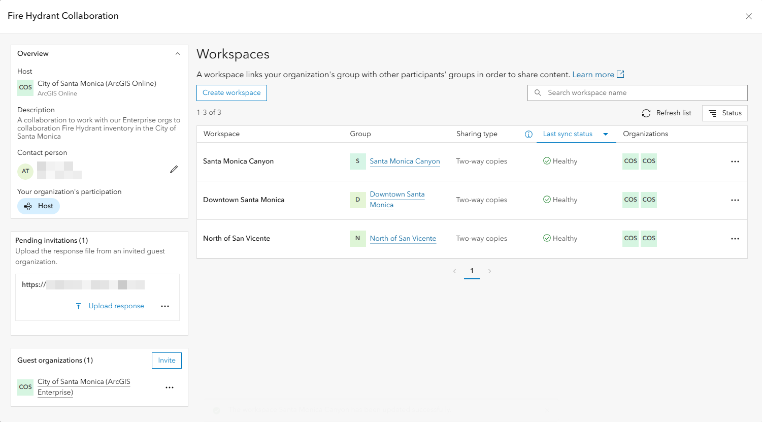
Manage distributed collaborations with greater clarity and control in ArcGIS Online
A redesigned distributed collaboration experience gives administrators greater visibility into and control over their collaborations. Clearer sync status and history make it easier to confirm successful synchronization, understand previous activity, and identify issues that need attention. Expanded setup options also allow administrators to configure more collaboration settings up front. Together, these improvements simplify troubleshooting, reduce administrative effort, and provide greater confidence that distributed collaborations are working as expected.
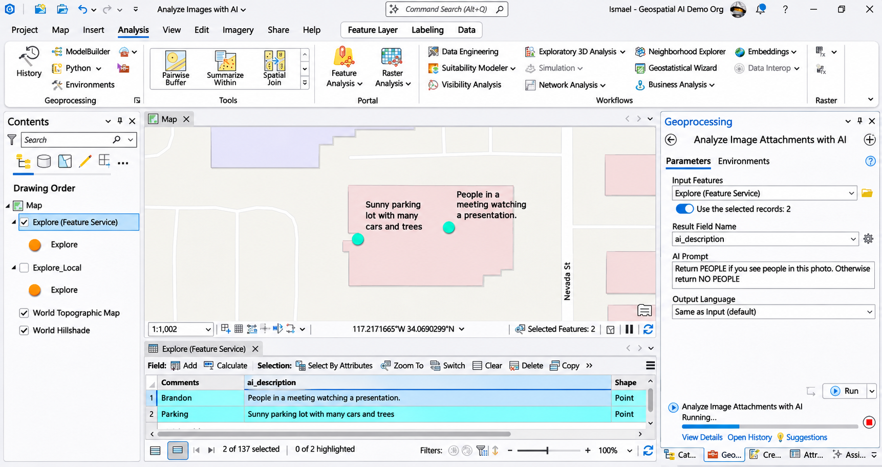
Transform unstructured information into usable GIS data with AI premium services in ArcGIS Online
AI premium services help users automate tasks such as text translation and extracting data from images and text, work that could otherwise require significant manual effort. These services help users save time, increase efficiency, and more quickly incorporate valuable information from photographs, reports, and other sources into GIS workflows.
Create richer, more discoverable metadata with the item details assistant in ArcGIS Online
The item details assistant is out of beta. This assistant uses AI to suggest essential metadata, including titles, summaries, descriptions, tags, and attribute field details. Users can review and edit generated suggestions or use them to supplement existing metadata, helping save time, improve metadata quality and completeness, and make content easier to understand, discover, and use.
New ways to automate data pipeline runs
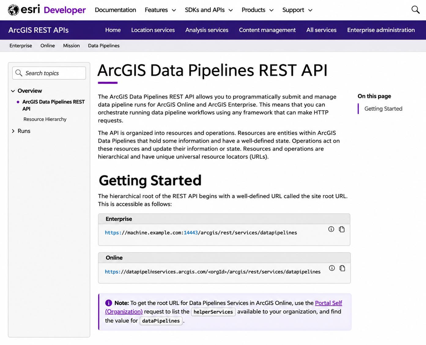
You can now automate data pipeline runs in two new ways: using the REST API and the ArcGIS API for Python. With these new automation capabilities, you have more flexibility to integrate data pipelines as part of your broader automation workflows. Explore the What’s new in ArcGIS Data Pipelines documentation for links to learn more and details about the other new features in this update.
Assess and respond to flood risk with NOAA flood inundation data in ArcGIS Living Atlas
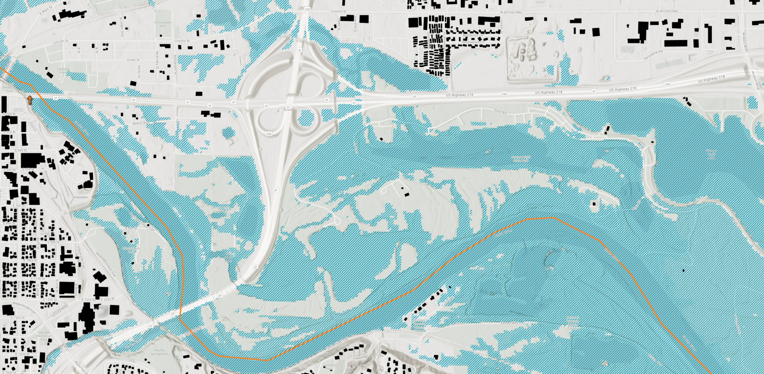
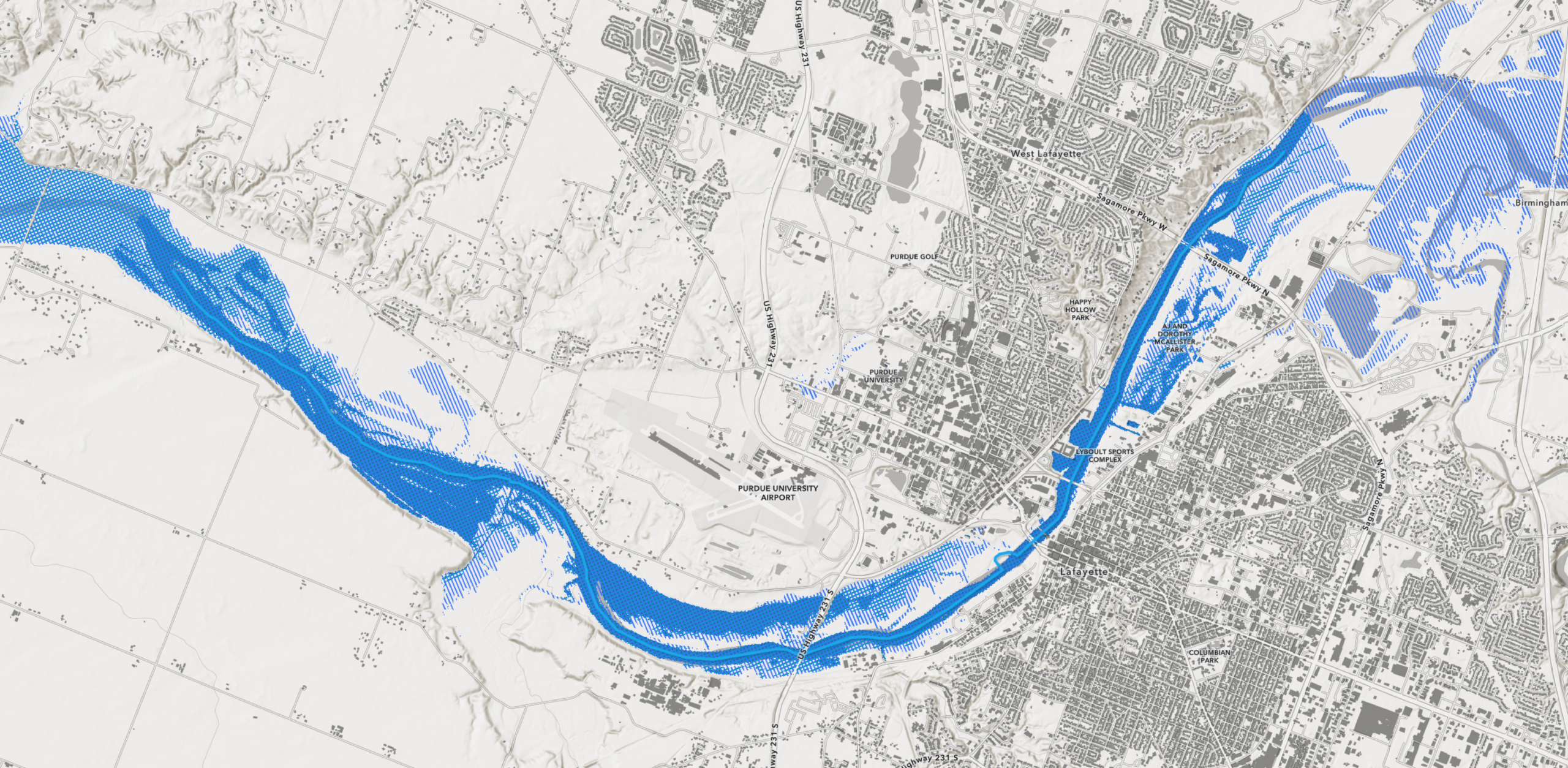
New flood inundation data from the NOAA National Water Center is now available in ArcGIS Living Atlas, providing detailed predictions of areas expected to flood from heavy rainfall and river overflowing. Users can access authoritative flood information directly within ArcGIS to assess risk, support evacuation and emergency planning, and monitor flooding as events unfold.
Map visualization updates
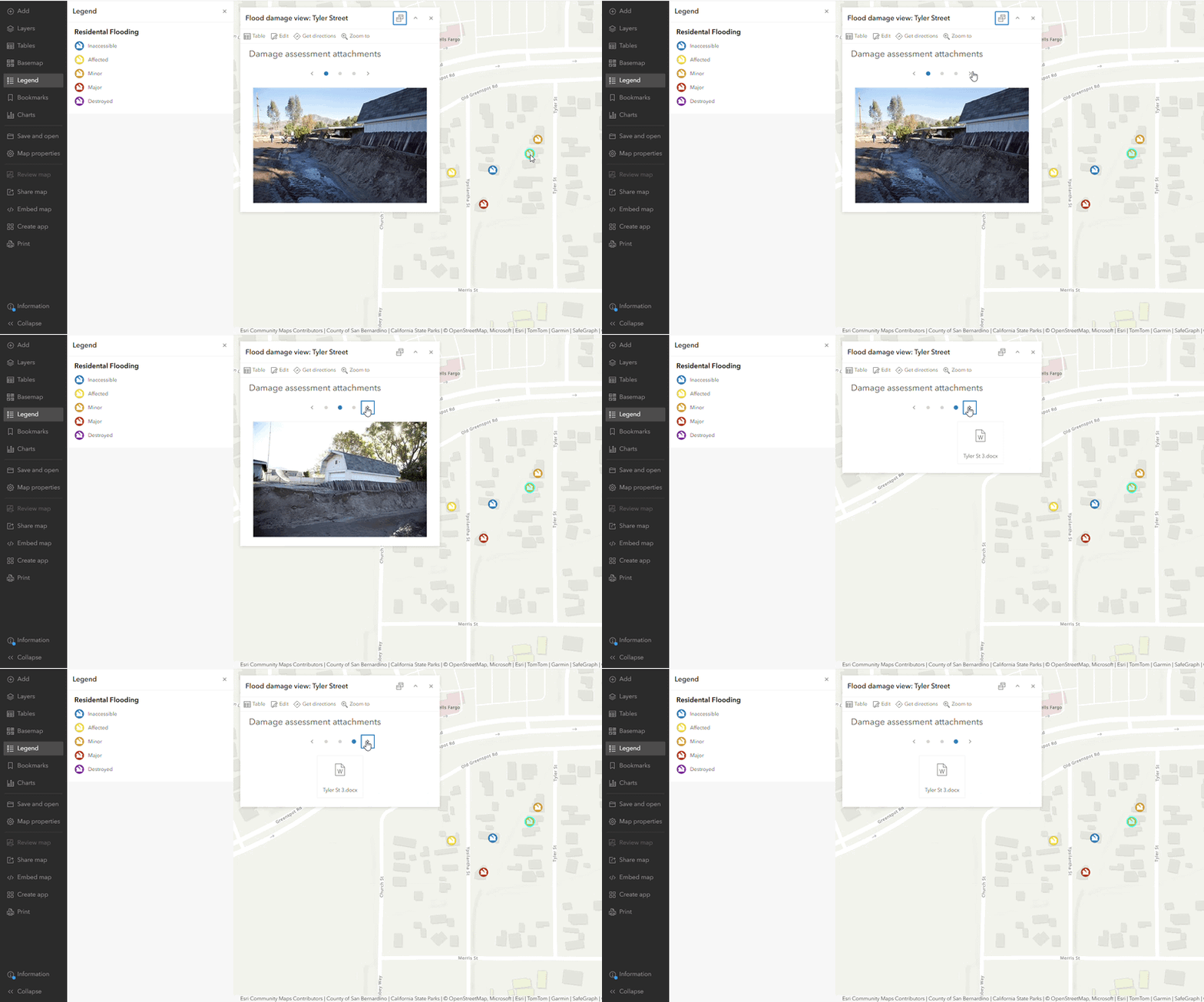
Explore attachments more easily with the new carousel option in Map Viewer
Map Viewer gives pop-up authors more flexibility in how attachments are presented, with Auto, List, Gallery, and the new Carousel layout. Carousel allows users to swipe through attachments instead of scrolling through long lists of links or content, creating a more streamlined experience and supporting a wider range of workflows and interaction preferences.
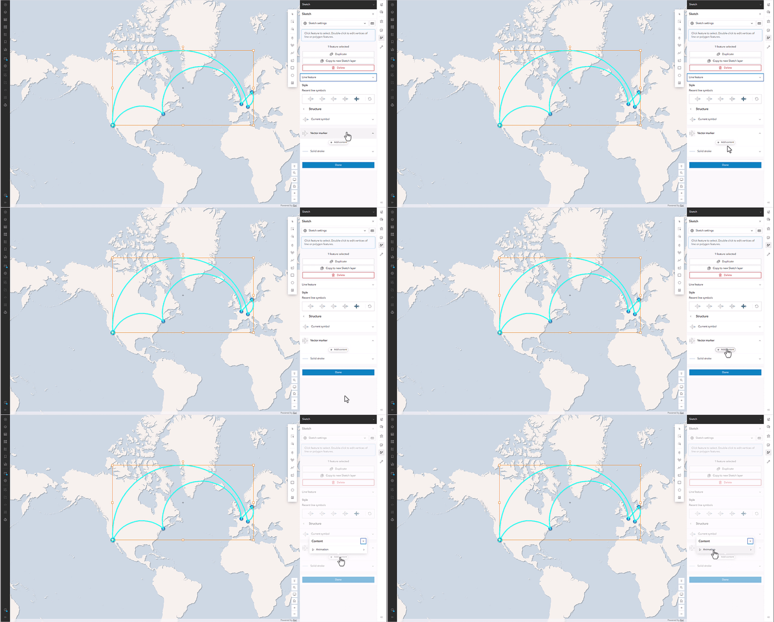
Bring movement and direction to your maps with animated line symbols in Map Viewer
Map Viewer now gives authors more flexibility to create animated line symbols that communicate movement and direction. Authors can animate single or multiple markers along a line and add animation to existing line symbols directly in Map Viewer, making it easier to create dynamic, engaging maps without relying solely on preset symbols or styles authored in ArcGIS Pro.
App building and configuration updates
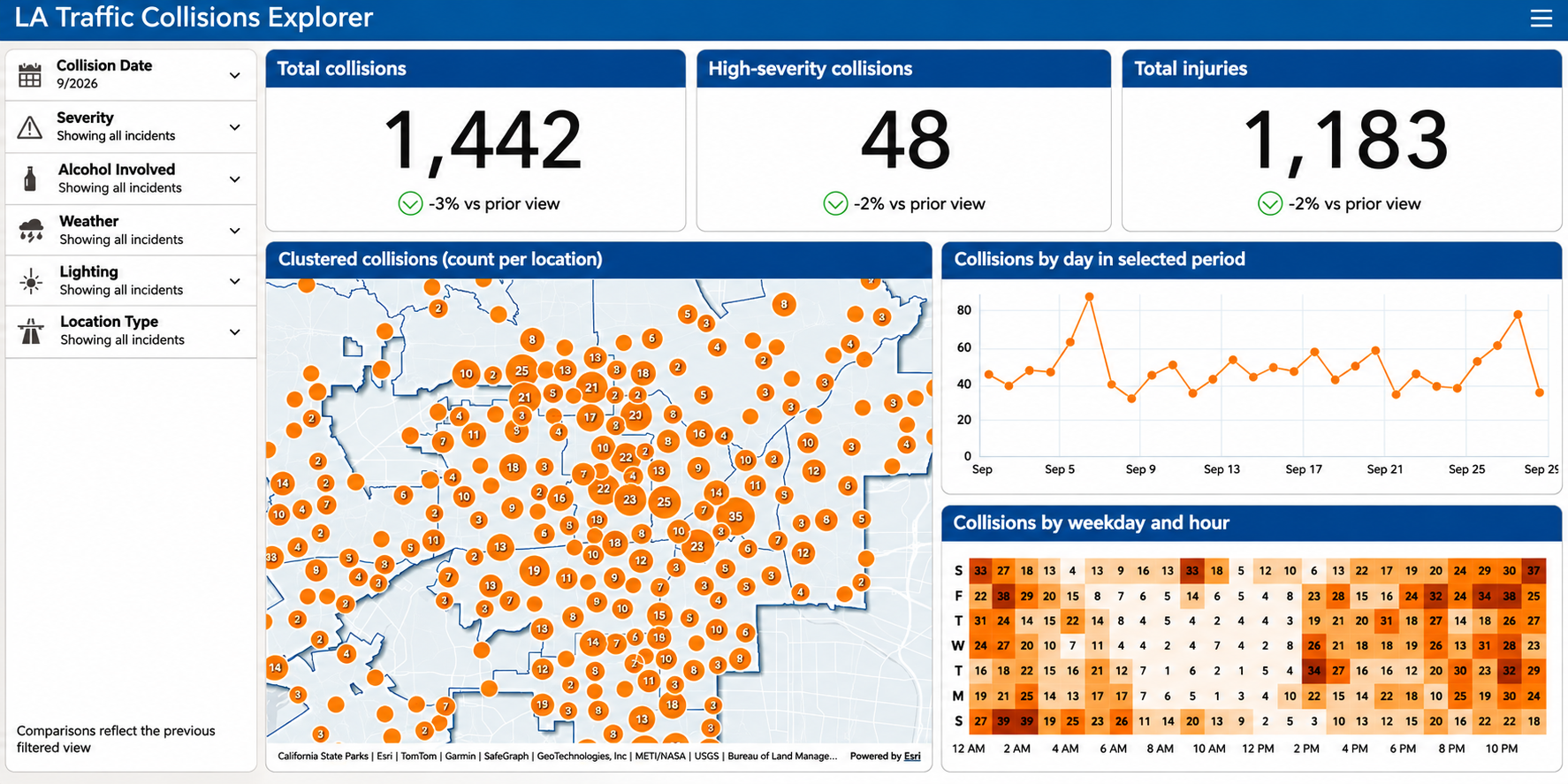
Spot trends and patterns over time with the new Calendar Heat Chart in ArcGIS Dashboards
ArcGIS Dashboards now includes the Calendar Heat Chart, a color-coded calendar visualization that makes it easier to understand activity over time. Users can quickly identify trends, patterns, and periods of high or low activity, helping them uncover temporal insights at a glance.
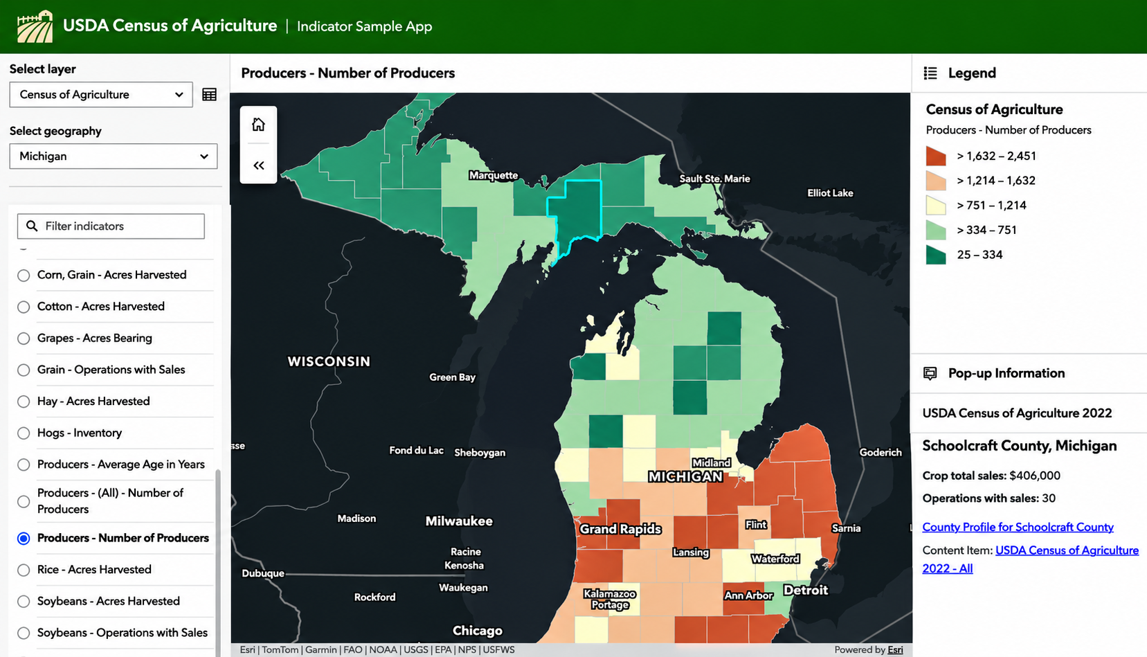
Explore more data with fewer maps using the new Indicator template in ArcGIS Instant Apps
Indicator is a new ArcGIS Instant Apps template that makes it easier to explore large indicator datasets within a single map. Users can interactively switch between variables while map visualizations and legends update automatically, simplifying data exploration while helping organizations reduce the need to create and maintain multiple maps.
Explore everything new in ArcGIS Online
These highlights represent just some of what’s available with the November 2026 update. Explore the additional What’s New blogs below to learn about more enhancements across ArcGIS Online and its apps:
What’s New Blogs:
What’s New in Map Viewer (November 2026)
What’s New in Instant Apps (November 2026)
What’s New for Parquet Feature Layers Beta (November 2026)
What’s New in ArcGIS Hub (November 2026)
What’s New in Scene Viewer (November 2026)
What’s New in ArcGIS Business Analyst Web App (November 2026)
What’s New in Imagery in ArcGIS Q4 2026
What’s New in ArcGIS Data: November 2026 Release Highlights
What’s New in the ArcGIS Solutions App (November 2026)
What’s New with ArcGIS GeoBIM in ArcGIS Online (November 2026)
What’s New in Geospatial AI (November 2026)
Calcite Design System: What’s New in 5.2
Other Features and Enhancements:
A new distributed collaboration experience
New Organization Status Dashboard in ArcGIS Online: Major Updates in November 2026
Transitioning from the Legacy to the New Organization Status Dashboard in ArcGIS Online
Discover How Your Layers, Maps, Scenes, and Apps Connect
Raster Analysis Comes to ModelBuilder in Map Viewer (Beta)
Editor’s Corner: June 2026 Update
Location Sharing Licensing Changes in ArcGIS
Introducing Semantic Search (beta)
Introducing the item details assistant

Article Discussion: