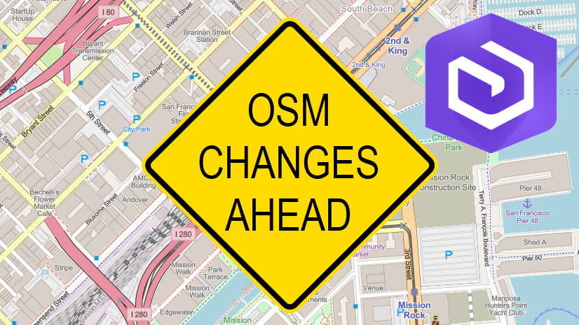
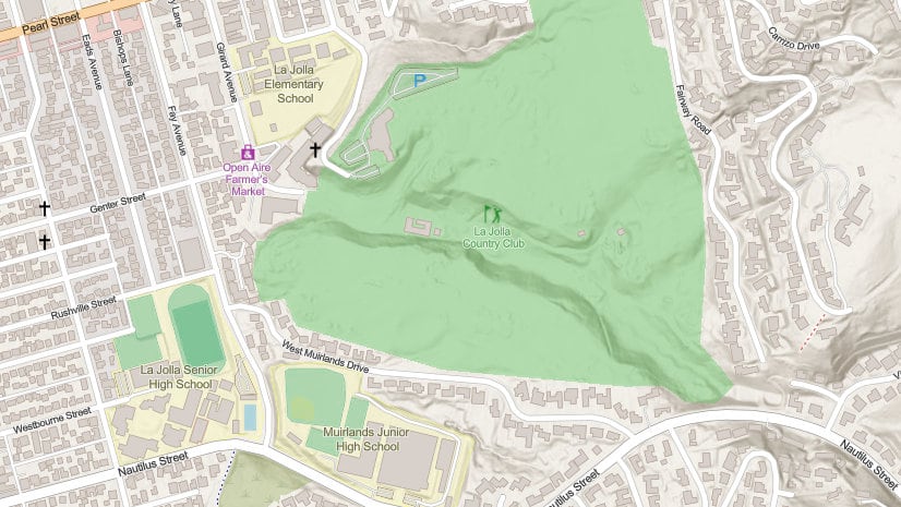
As we announced last week, the OpenStreetMap vector basemaps on ArcGIS Online will be updated to use OSM Daylight distribution data content. Map styles will also be updated on the OSM tile layers. This change in data source and map style applies to both the Web Mercator Auxiliary Sphere (WMA) and WGS84/GCS OSM vector maps. This change is scheduled to occur on Wednesday night, June 16, 2021.
After these changes occur, there are no impact to users who directly reference:
- an Esri OpenStreetMap web map in their map or app or
- an Esri OpenStreetMap vector tile layer in their map or app.
Your maps will automatically display updated OSM Daylight content in updated map styles without any impact to you.
Impact to OpenStreetMap Vector Basemap Users
There will be an impact to users in following scenarios. You’ll need to act if you are using maps in one or more of these examples. After our update, the maps in the following situations will draw, but will be incomplete. Administrative boundaries, parks and forests, and buildings will be missing if no action is taken to update to your maps.
- Users with a copy of either a vector OSM or OSM Daylight (beta) style in their Content will be affected. This includes users with a direct copy of the map (no style change) or users with a copy with a customized style. Customized styles are created by the Esri Vector Tile Style Editor or by editing your own copy of the tile layer style file. In both examples, the tile layer items are owned by the user in their Content.
Users will need to make a new copy of the OSM maps after our update the night of June 16. Customized styles need to be reapplied onto a new copy of the tile layer after this this date.
- Users of OSM Daylight (Beta) items will be affected. These beta items are entering mature support and no longer getting updates. OSM Daylight (Beta) items will be deprecated and removed from ArcGIS Online. Use one of the OpenStreetMap items as they contain OSM Daylight data and styles after the June 16 update.
- Living Atlas for Enterprise users will be affected. Customers using these layers via Living Atlas in ArcGIS Enterprise 10.8, 10.8.1, and 10.9 will be affected. The root.json style files need to be updated on the OpenStreetMap tile layers after the June 16 date. More details are available for ArcGIS Enterprise users at this blog, along with a set of root.json files to use for updates.
ArcGIS Enterprise organizations using these OpenStreetMap layers by referencing them directly from ArcGIS Online are not affected by this update. In this scenario, the styles are referencing the most up to date Online items.
Moving forward, OpenStreetMap vector tile layers and web maps will continue to be updated on a regular release cycle using the OSM Daylight distribution data.


Article Discussion: