June 23, 2026 | Heidi Daulton | Constituent Engagement Turning geography lessons into stories: a National Geographic MapMaker partnership
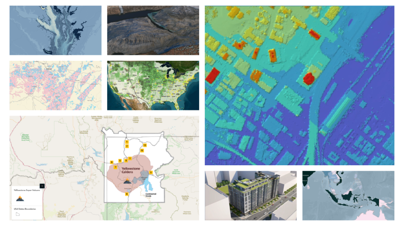
June 22, 2026 | Nicte Hernandez | Decision Support What’s New in ArcGIS Data: June 2026 Release Highlights
June 22, 2026 | Michelle Thomas | Sharing and Collaboration Growing a successful geospatial program through dual enrollment
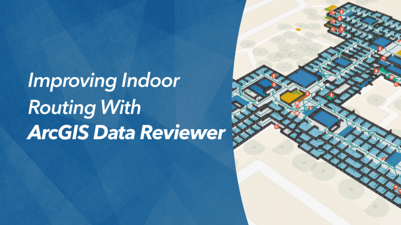
June 16, 2026 | Angelique Samaro | Data Management ArcGIS Data Reviewer at the 2026 Esri User Conference
June 15, 2026 | Dylan Molnar | Real-Time Visualization & Analytics Real-Time GIS at the 2026 Esri User Conference
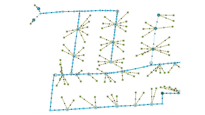
June 12, 2026 | Multiple Authors | Electric & Gas Utilities ArcGIS Utility Network at the 2026 Esri User Conference
June 3, 2026 | Dylan Molnar | Real-Time Visualization & Analytics The ArcGIS Velocity for ArcGIS Enterprise Public Beta Has Concluded
June 3, 2026 | Multiple Authors | Architecture, Engineering, and Construction BIM and CAD Integrations at the 2026 Esri User Conference
June 3, 2026 | Cristina Cañizares | Constituent Engagement Create more engaging impact reports with ArcGIS StoryMaps
June 3, 2026 | Elaine Evans | Data Management Convert a personal geodatabase in ArcGIS Pro 3.7 with a new built-in tool
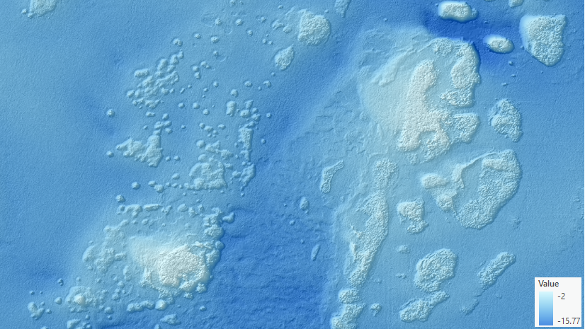
June 2, 2026 | Multiple Authors | Analytics Calculate rugosity index from elevation surfaces using the Surface Area Ratio tool
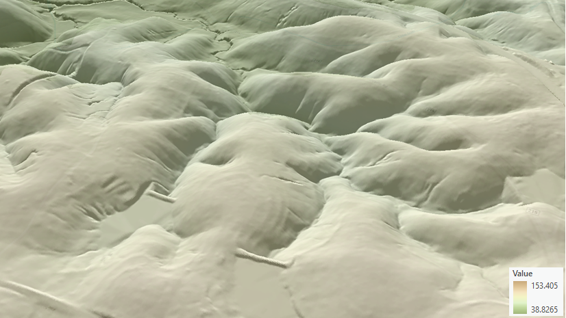
June 2, 2026 | Multiple Authors | Analytics Identify ridges, valleys, and hydrographic features from elevation surfaces using the Top Hat Transform tool
May 29, 2026 | Julia Bell | Defense and Intelligence Enhanced Spatiotemporal Analysis with ArcGIS AllSource
May 26, 2026 | Reanne Barrette | Imagery & Remote Sensing You’ve Created Reality Mapping Outputs—Now What?