April 7, 2026 |
Dr. Dawn Wright | Mapping
All Articles
-
-
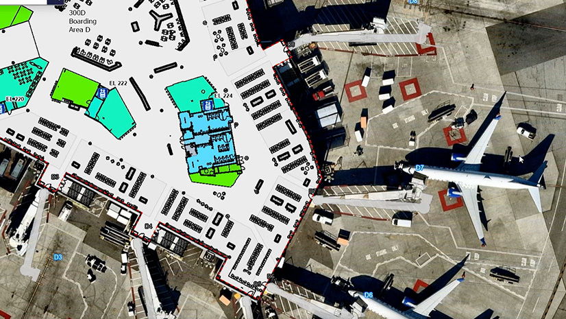
April 2, 2026 |
Katie Olson |Video VIDEO: How SFO Manages 18 Million Square Feet with One Map
-
March 31, 2026 |
Ryan Lanclos |Public Safety How High-Tech Maps Helped Team Rubicon Mount One of Its Biggest Aid Efforts
-
March 24, 2026 | Multiple Authors |
Conservation How Illegal Cattle Trafficking Is Spreading a Flesh-Eating Parasite
-
March 19, 2026 |
Katie Olson |Video VIDEO: How One City in Portugal Coordinates Emergency Response in Real Time
-
March 17, 2026 |
Christian Carlson |Urban Planning Cities Embrace Green Space to Create Healthier Communities
-
March 12, 2026 |
Carrie Speranza |Public Safety How Virginia Beach Built a New Emergency Operations Platform in 18 Months
-
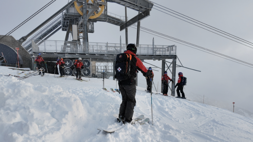
March 10, 2026 |
Matt Ball |Mapping How Jackson Hole Turned 50 Years of Avalanche Data into a Live Operational System
-
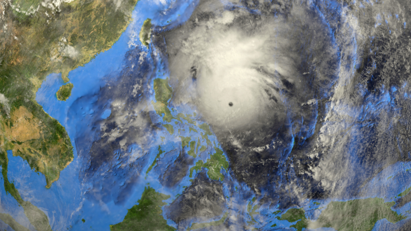
March 3, 2026 |
Ryan Lanclos |Resilience In the Philippines, Private-Led Disaster Resilience Works Ahead of Risks
-
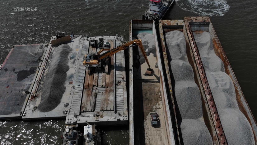
February 26, 2026 |
Katie Olson |Infrastructure VIDEO: The 3D Model Running Vietnam’s Busiest Port
-
February 24, 2026 |
Sunny Fleming |Conservation South Carolina Takes a Proactive Approach to Aquatic Biodiversity Conservation
-
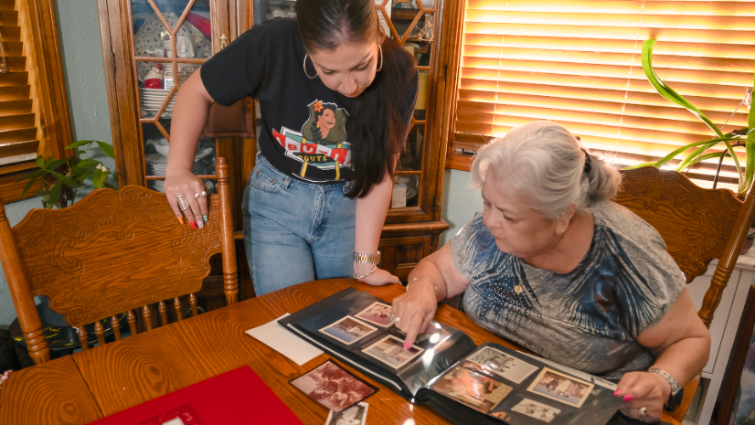
February 17, 2026 |
Christopher Thomas |Mapping Latinos in Heritage Conservation Preserves the Past with Storytelling
-
February 10, 2026 |
Carrie Speranza |Public Safety When Two Hurricanes Hit the Tampa Area 14 Days Apart, GIS Guided the Emergency Response
-
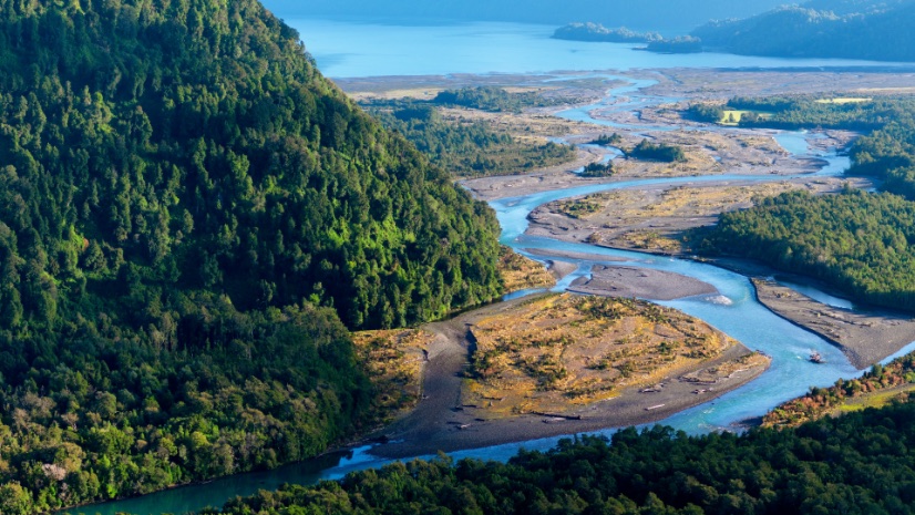
February 3, 2026 |
Sunny Fleming |Conservation Healing Patagonia: How Digital Maps Are Bringing the Wild Back to Life
-
January 29, 2026 |
Sunny Fleming |Conservation In the Nation’s Biodiversity Hot Spot, a Geographic Approach Ignites Conservation Action
-
January 27, 2026 |
Sunny Fleming |Conservation How Maps, AI, and Trees Fight Urban Heat in Chattanooga
-
January 22, 2026 |
Katie Olson |Infrastructure Video: From Wildfires to Water—Why Data Integration Matters Now
-
January 20, 2026 |
Dr. Dawn Wright |Conservation Mapping Resilience: How CV Carbon and Oyster Fishermen Are Rebuilding Oyster Reefs
-
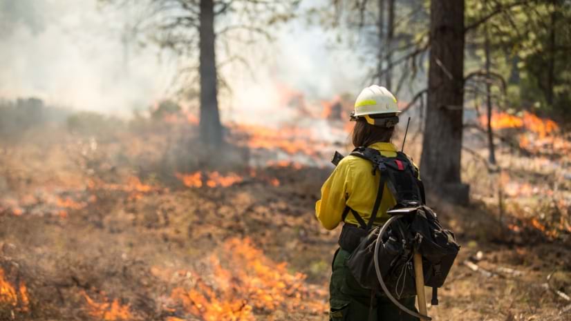
January 15, 2026 |
Anthony Schultz |Public Safety Wildfire Prevention in California Gets the Proof It Needs to Drive Funding
-
January 13, 2026 |
John Beck |Public Safety Behind the Celebration: How Oklahoma City’s Public Safety Team Secured Its Historic Championship Moment
-
January 8, 2026 |
Patricia Cummens |Urban Planning Montana Zoning Atlas: Mapping Drives Bipartisan Housing Reform
-
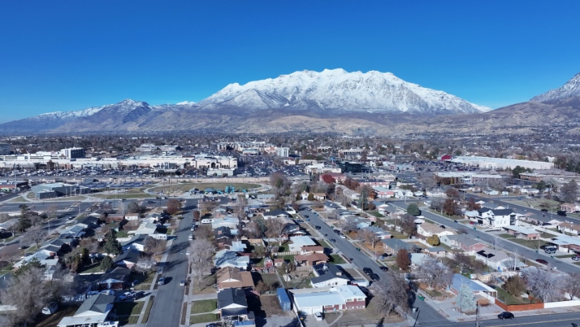
January 6, 2026 |
Patricia Cummens |Mapping How Utah—America’s Most Urban State—Uses Data to Solve Housing Affordability
-
December 22, 2025 |
Matt Ball |Mapping The 10 Most-Read Posts of 2025
-
December 16, 2025 |
Lain Graham |Mapping An Island of Ingenuity: Drone Imagery and GIS Help Recast the Story of Easter Island