April 17, 2020 |
April 30, 2024 |
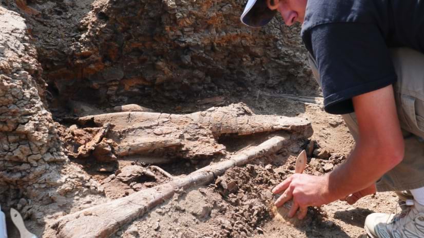
The Earth Sciences Foundation is creating a real-time map of dinosaur bone locations with RFID tagging and GIS mapping.
Stories about , charts, imagery, positioning, statistics, and using GIS to create better maps
April 30, 2024 |
The Earth Sciences Foundation is creating a real-time map of dinosaur bone locations with RFID tagging and GIS mapping.
April 17, 2020 |
April 8, 2020 |
April 7, 2020 | Multiple Authors |
April 2, 2020 |
March 26, 2020 |
March 24, 2020 |
March 17, 2020 | Multiple Authors |
March 5, 2020 |
February 18, 2020 |
January 21, 2020 |
January 7, 2020 |
December 5, 2019 |
November 26, 2019 |
October 29, 2019 |
October 22, 2019 |
October 9, 2019 | Multiple Authors |
October 8, 2019 |
August 2, 2019 |
July 9, 2019 |
June 27, 2019 |
June 11, 2019 |
May 30, 2019 |
May 23, 2019 |
April 18, 2019 |