July 3, 2025 | Stella(Xintian) Li | 3D Visualization & Analytics Publish a Space-Time Cube Layer to a Web Scene
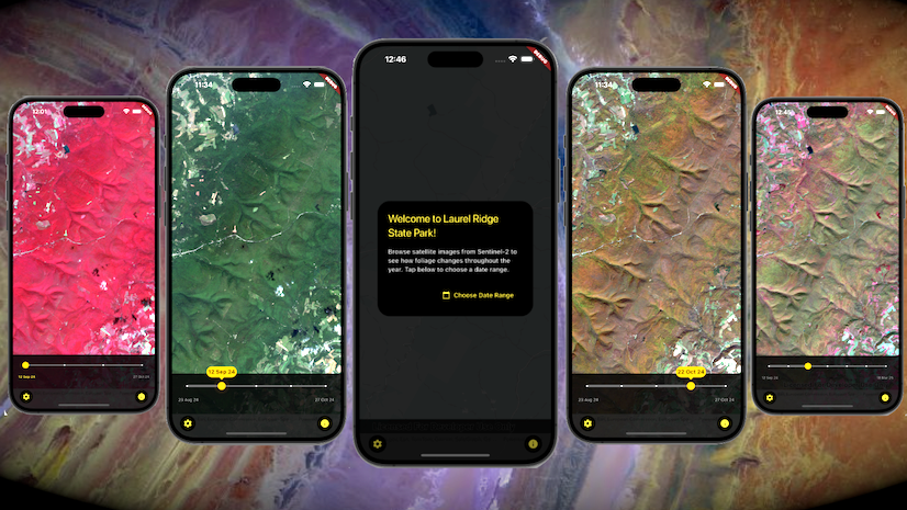
June 30, 2025 | Rachael Ellen | Developers How to integrate satellite imagery in mobile app development with Flutter Maps SDK
June 27, 2025 | Multiple Authors | Imagery & Remote Sensing Mapping mangrove dynamics with raster functions in Map Viewer
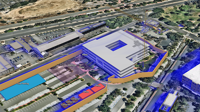
June 26, 2025 | Multiple Authors | 3D Visualization & Analytics Transform your BIM workflows: Two ways to use Autodesk models in ArcGIS
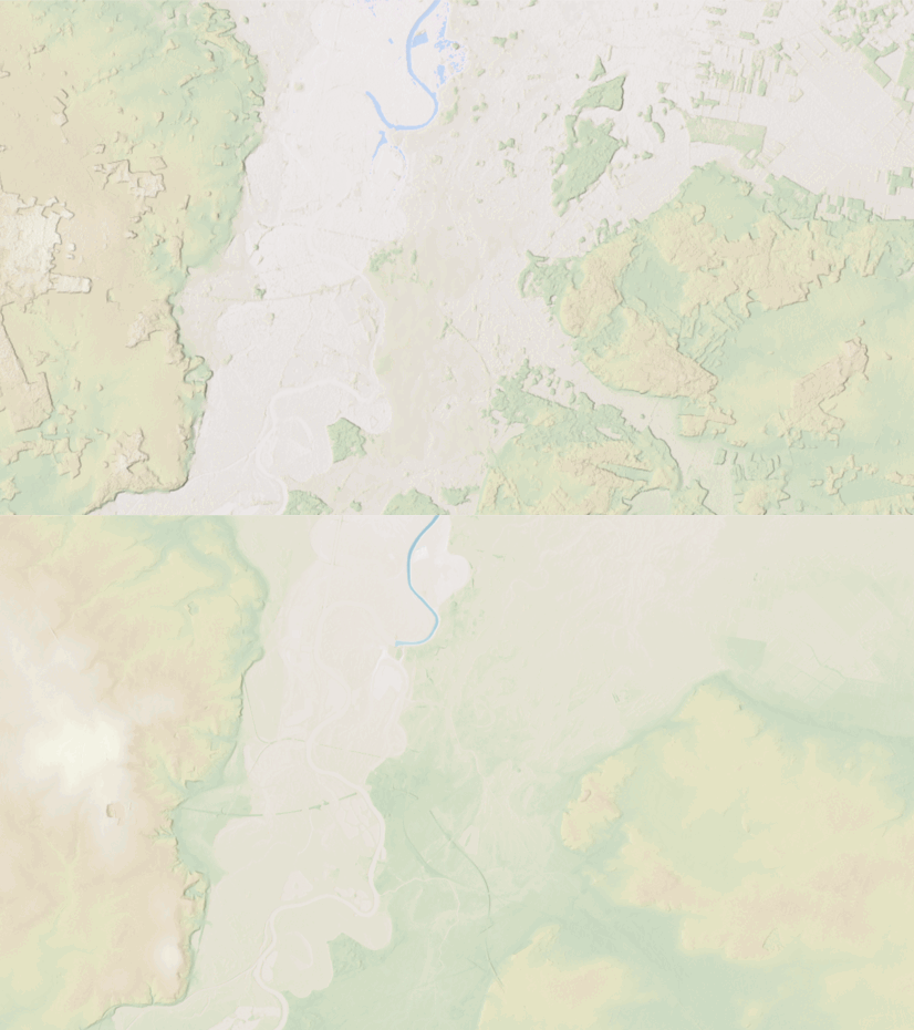
June 24, 2025 | Rajinder Nagi | Announcements Lidar derived high resolution data updates to Living Atlas World Elevation Layers (June 2025)
June 23, 2025 | Nathan Easley | Data Management What’s New in ArcGIS Roads and Highways and ArcGIS Pipeline Referencing: May 2025
June 18, 2025 | Geoff Cook | Architecture, Engineering, and Construction GIS and BIM/CAD at the 2025 Esri User Conference
June 17, 2025 | Dylan Molnar | Real-Time Visualization & Analytics Real-Time GIS at the 2025 Esri User Conference
June 16, 2025 | Multiple Authors | 3D Visualization & Analytics Securing the Invisible: Why digital twin security starts with data governance.
June 13, 2025 | Multiple Authors | Data Management Manage geodatabase upgrades in a service-based architecture
June 11, 2025 | Multiple Authors | Data Management ArcGIS Utility Network at the 2025 Esri User Conferece
June 2, 2025 | Multiple Authors | Architecture, Engineering, and Construction Seeing is Believing: AEC Workflow Strategies with Remotely Sensed Data Unveiled