
Most recent
Get to Know Esri's Water Team
Christa Campbell | April 23, 2026
Esri's Water Team focuses on all things water: water distribution, wastewater, stormwater and water resources. Connect with us to learn more.

Esri Water| March 16, 2026
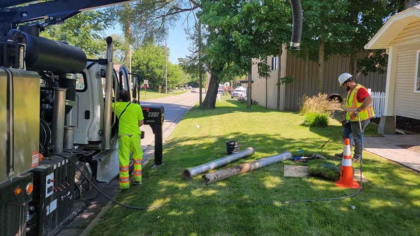
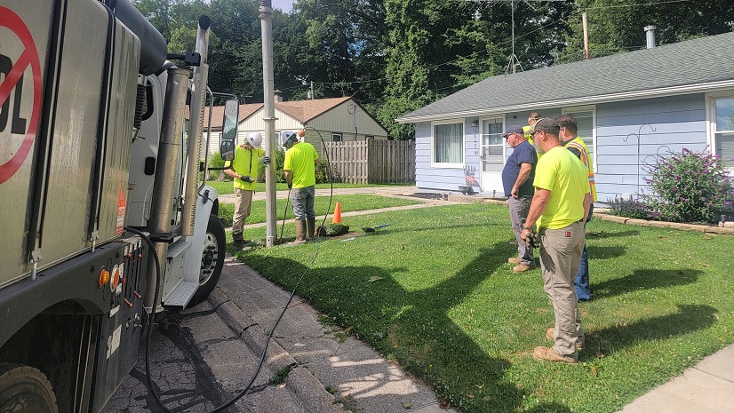
Potholing and GIS: Prioritization Planning for Lead Service Line Replacement

Esri Water| March 11, 2026
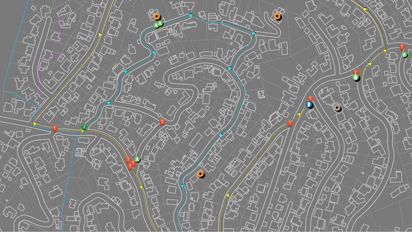
Mapping Leaks, Saving Water: MAWC’s GIS-Powered Leak Detection Strategy

Esri Water| February 13, 2026
East Valley Implements ArcGIS Utility Network for Modern Data Management
Esri Water| January 20, 2026
GIS Express: Comprehensive GIS Solutions for Pasadena Water
Esri Water| December 29, 2025
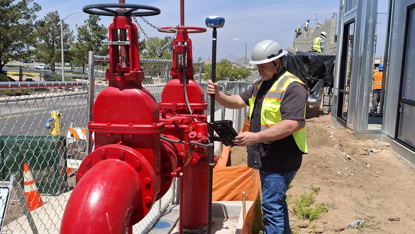
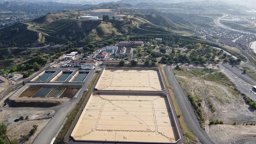
Each Precious Drop: California Utility Maps Recycled Water System with High-Accuracy GNSS and GIS

Esri Water| December 22, 2025
Pennichuck Water Works Expands Its Digital Transformation with 3D Digital Twins
Esri Water| December 15, 2025
A GIS-Driven Approach to Property Management and Environmental Stewardship
Esri Water| October 21, 2025
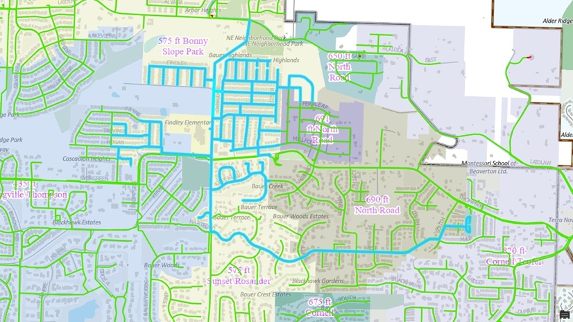
Tualatin Valley Water District Applies Utility Network Tracing to Drive Smarter Capital Planning
Esri Water| October 15, 2025
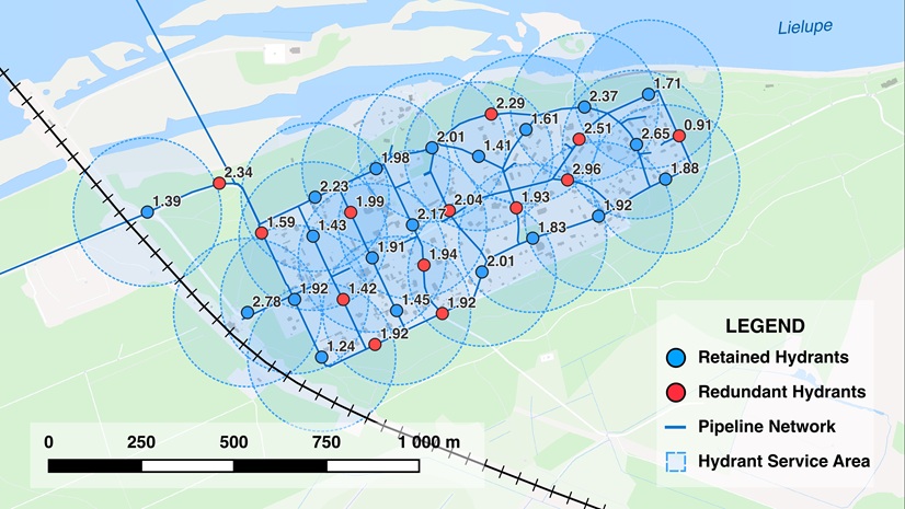
The Path to Geoenabled Asset Management: A Case Study of Jūrmala’s Hydrants

Esri Water| October 15, 2025
Integrating BIM and ArcGIS for a Holistic View of Water Infrastructure
Esri Water| October 10, 2025
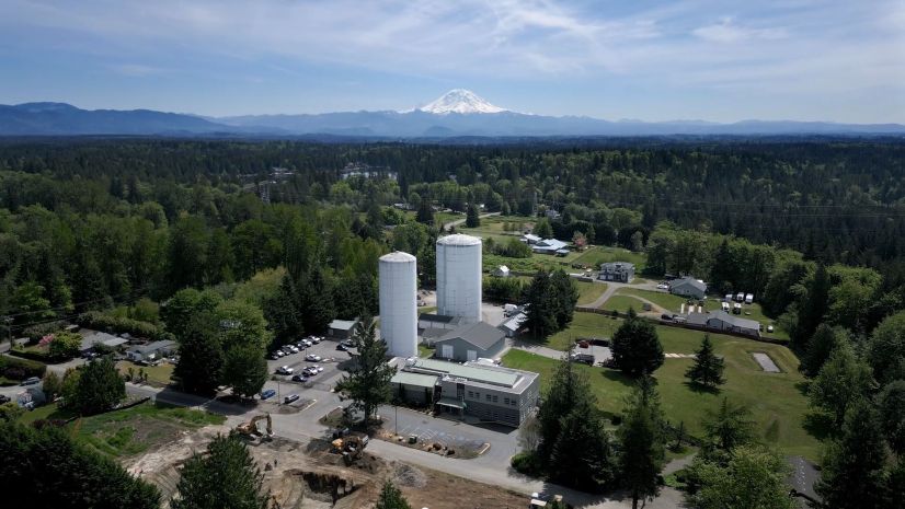
Covington Water District Manages Vast Water Assets with GIS at the Center
Esri Water| October 3, 2025
System Sunset, Scramble, and Solution: A GIS Survival Story

Esri Water| September 8, 2025
City of Round Rock Streamlines Permitting and Asset Life Cycle Management with GIS-centric Trimble Solutions
Esri Water| July 30, 2025
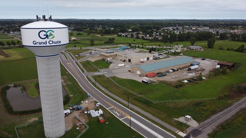
Town of Grand Chute Utilizes ArcGIS to Digitally Transform and Improve Transparency Across Departments
Esri Water| July 3, 2025
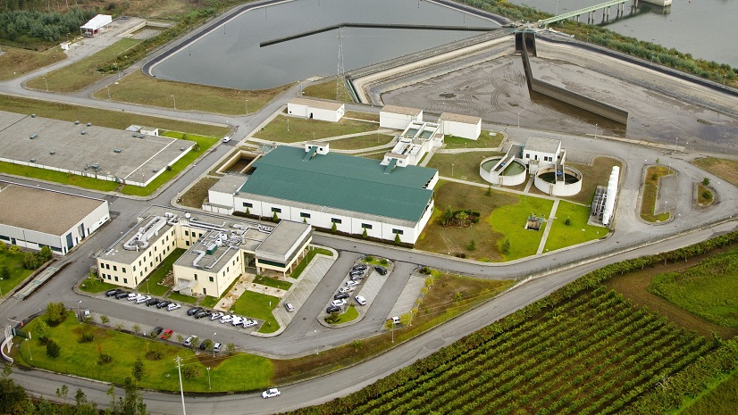
Águas do Norte: GIS Integration Strategy Using ArcGIS Utility Network
Christa Campbell| April 3, 2025
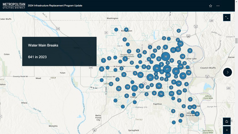
Geospatial Solutions Support Metropolitan Utilities District’s Vision for the Future
Esri Water| January 9, 2025
Aqua Leverages Experience Builder to Keep Users Informed During Service Disruptions
Esri Water| December 6, 2024
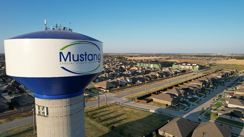
Revolutionizing Water Utility Operations at Mustang Special Utility District with ArcGIS

Esri Water| November 6, 2024
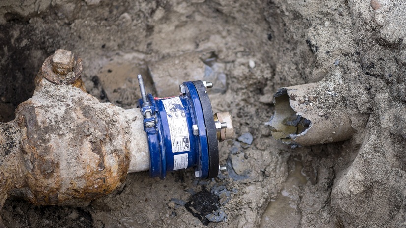
GIS Helps Hampton Shaler Water Authority Reduce Non-Revenue Water

Esri Water| November 5, 2024
ArcGIS for AutoCAD Improves As-Built Workflows at Waternet
Esri Water| July 12, 2024