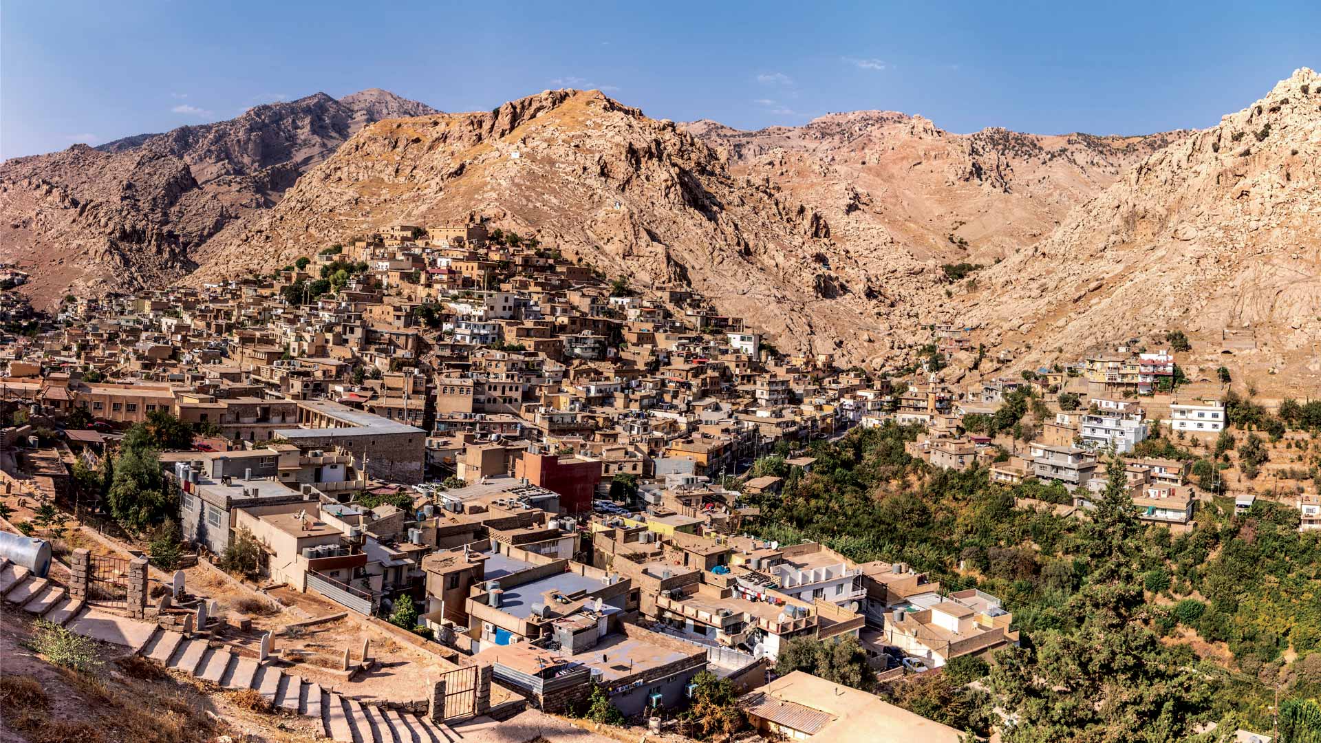
Iraq Counts Its People
For the first time since 1987, census workers went door to door and used GIS to get the data the government needs to make decisions.
Winter 2026, Vol.48, No.1
For the first time since 1987, census workers went door to door and used GIS to get the data the government needs to make decisions.
Esri president Jack Dangermond describes his vision for GIS becoming a global platform that shapes decision-making across communities.
Find out about how Esri is helping advance 2030 censuses, funding GIS for nature-based education, and offering new pricing for basemaps.
Some claim that Easter Island suffered from ecological and societal collapse. A digital twin disproves this theory.
A longtime member of Open Geospatial Consortium (OGC), Ryden was recognized for his exemplary contributions to open data standards.
Esri has expanded and enhanced AI-powered assistants across ArcGIS. They are steeped in the trusted security Esri is known for.
This collection of high-quality maps and layers provides a powerful starting point for developing policies that can change communities.
The technology is open, interoperable, and secure—and ensures that teams can access the content and tools they need, when they need them.
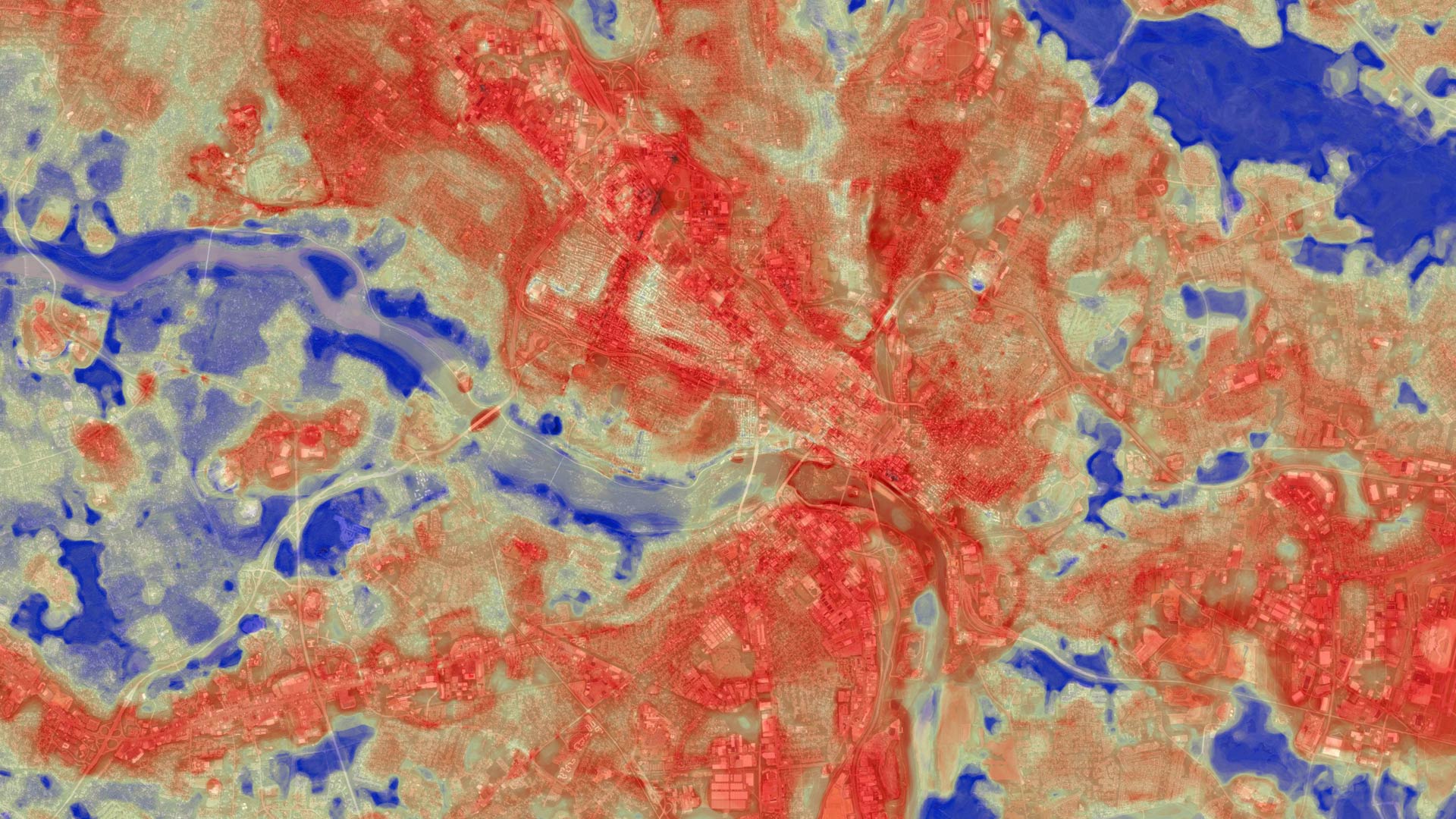
The Annual NLCD Collection represents a new era of land-cover mapping for the United States—and it is available to Esri users.
With enterprise GIS and the power of location intelligence, the Adams County Health Department responds rapidly to community-specific needs.
Now, humanitarian workers can use the same authoritative data in the same geodatabase to collaborate during critical, fast-moving events.
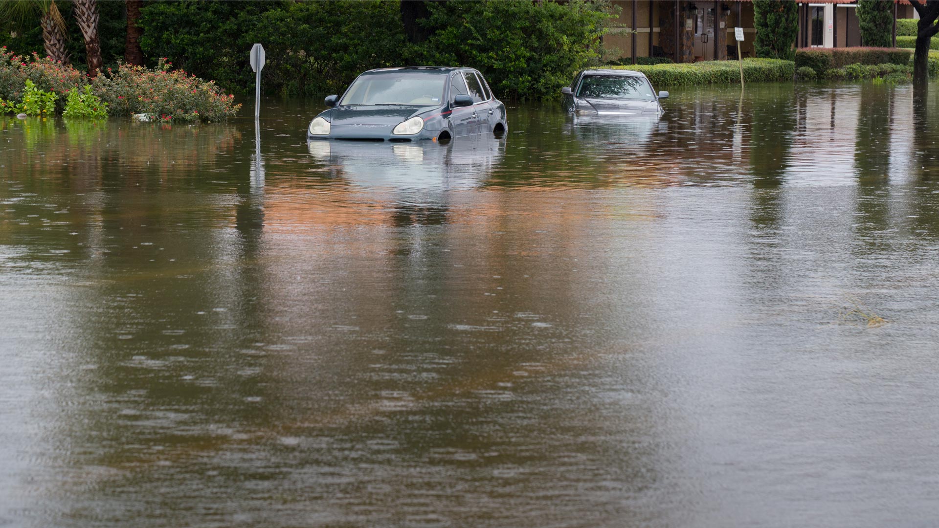
When every second counts, having the most powerful tools before, during, and after flooding is integral to community safety.
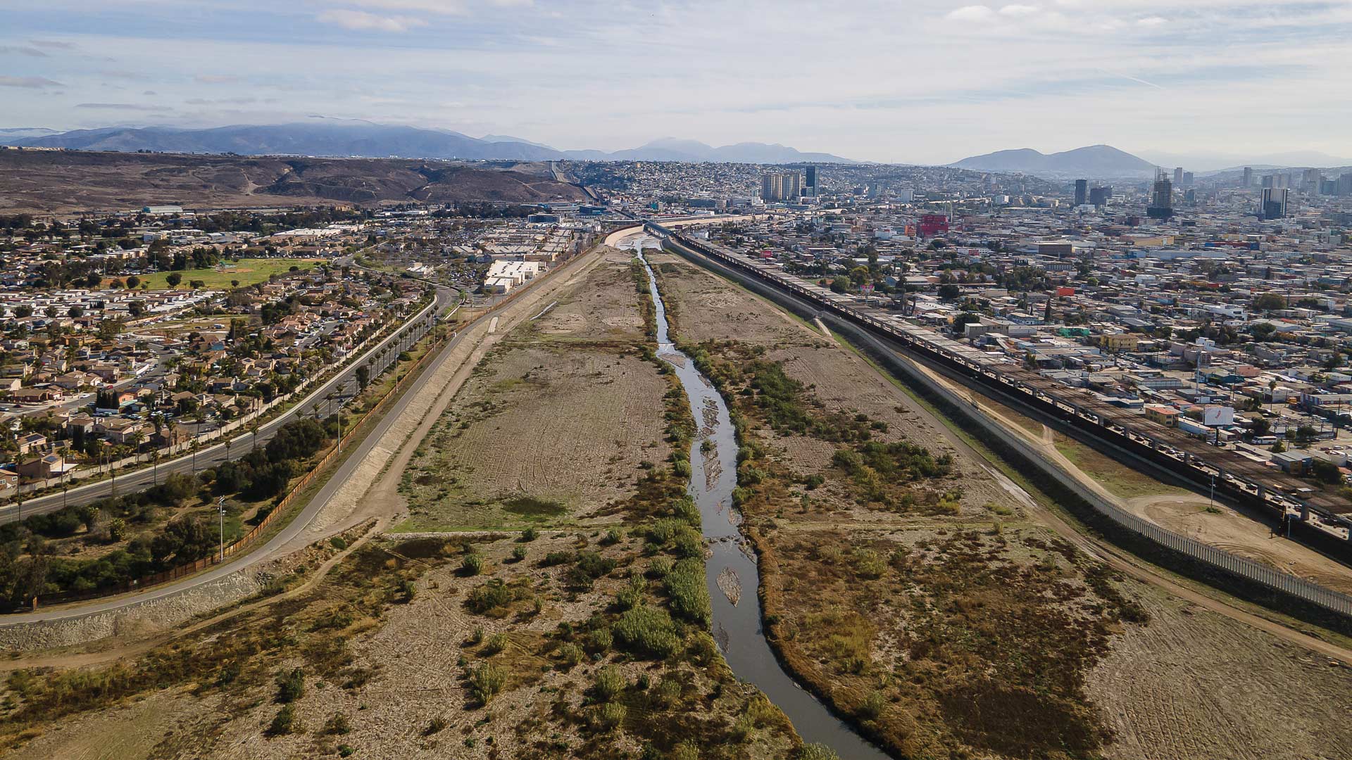
Using advanced GIS, several organizations are identifying key issues along the river and prioritizing sustainable interventions for funding.
Esri partners HDR and ReportAll teamed up to give civil engineers access to authoritative geographic data in Autodesk Civil 3D.
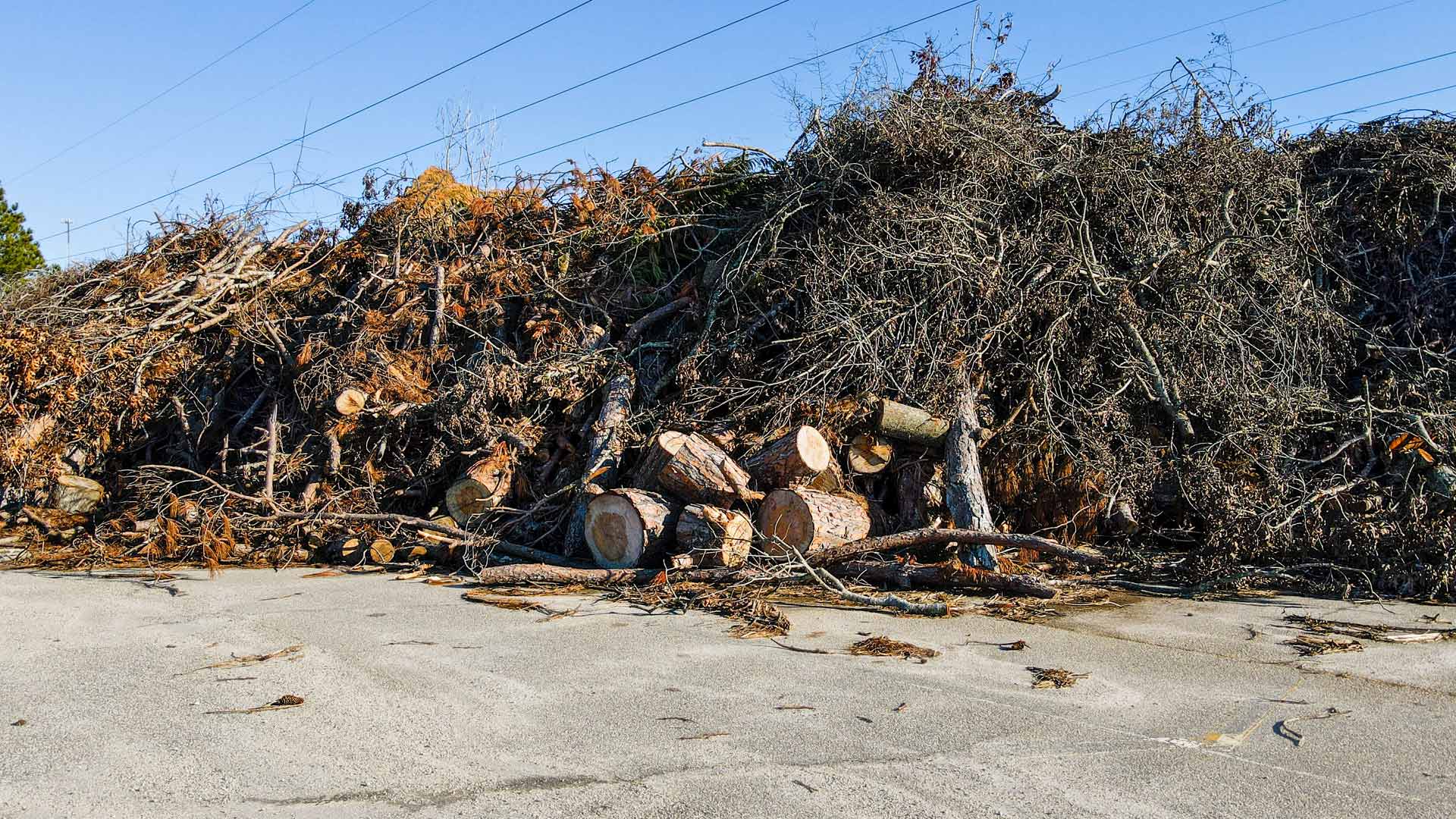
After struggling to gain an understanding of the situation, the South Carolina National Guard deployed GIS to assess damage and clear roads.
Esri is proud to assist AfriGEO in providing coordinated, comprehensive Earth observation for better decision-making that sparks innovation.
Gabriel Ortiz has devoted his life to geography and technology. He and his team in Cantabria, Spain, use GIS to innovate at new scales.
Breakthroughs in AI are making careers in geography more exciting, essential, and impactful than ever before.
In emergency management, success isn’t about how much data gets processed; it’s about how well others see what GIS can do.
The drone industry has been through highs and lows—and it is now at a crucial point that’s intertwined with mapping and GIS technology.
To design a powerful map is not merely to depict geography—it is to craft an argument about the world.
The American Association of Geographers’ Specialty Groups help geographers with diverse interests find community.
Discover how four Esri partners helped their clients develop GIS solutions that galvanize data-driven decision-making.
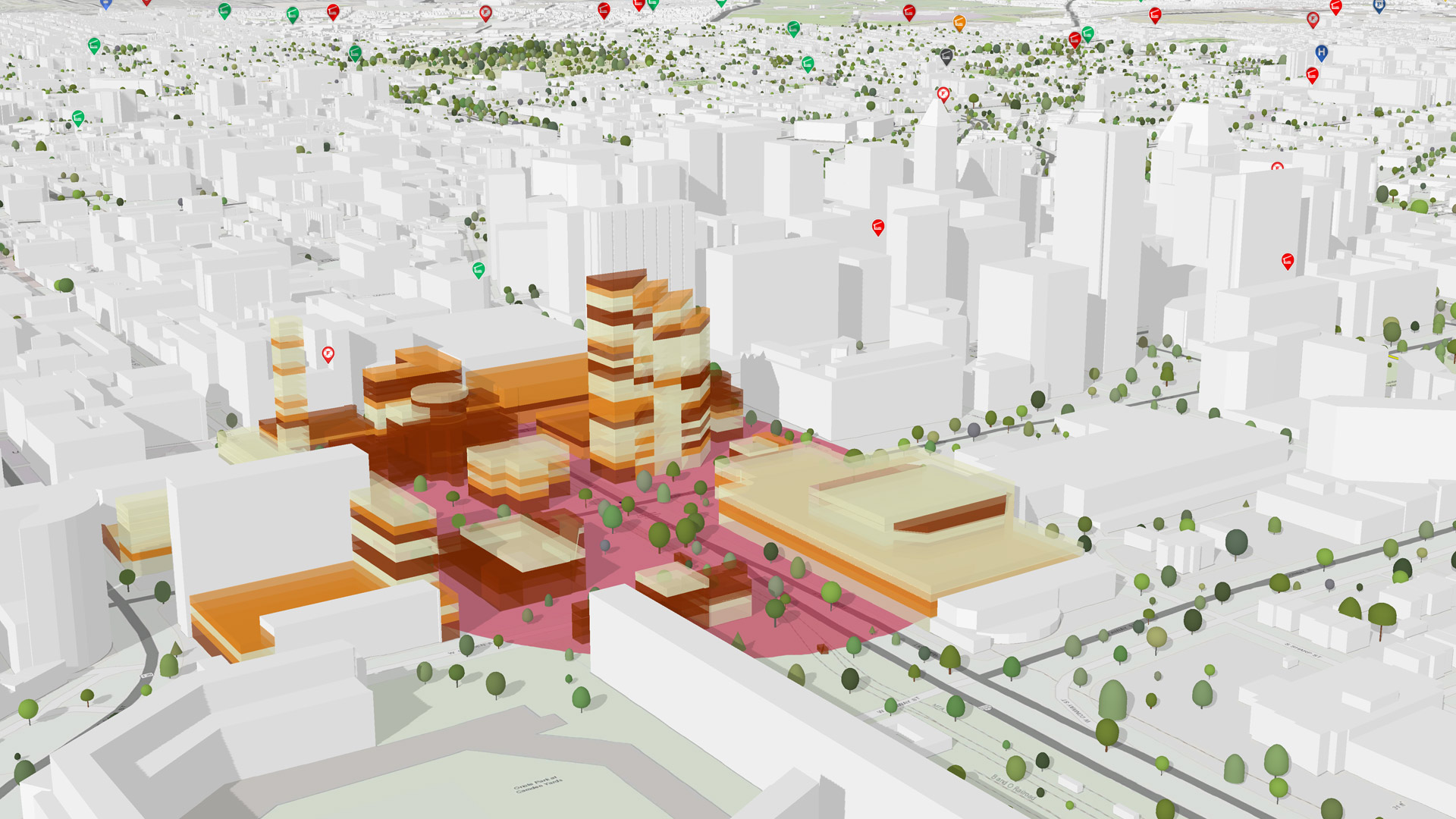
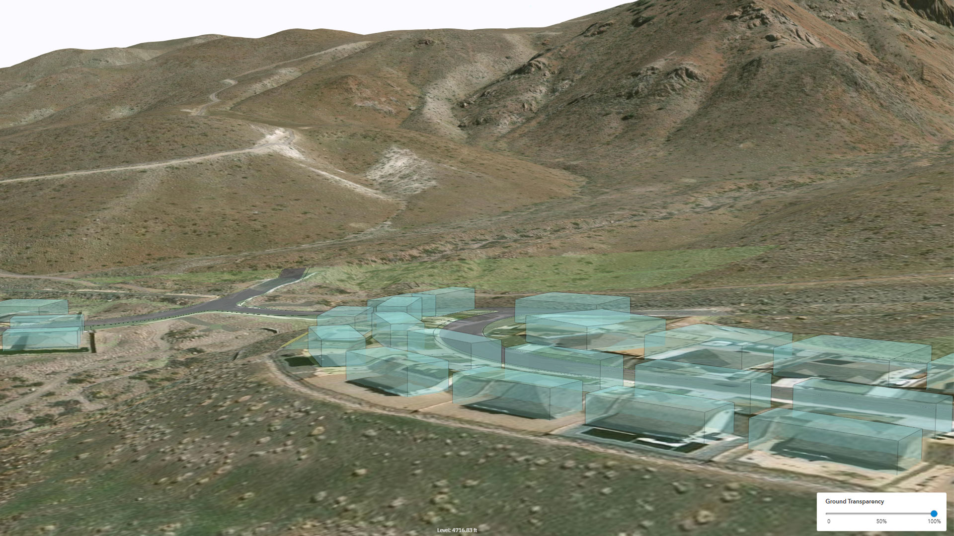
The design platform built by Esri Startup program graduate Allsite.ai produces digital twins of city-size construction projects.
Find out about AI in GIS, geospatial workflows for security operations, how to work with imagery and remote sensing data, and more.
Learn how to streamline GIS content management, take Esri’s GIS for Climate Action MOOC, and sign up to support new certification exams.