Kevin Johnston

Kevin has been a Product Engineer on the Spatial Analyst development team for over 29 years. He has degrees in Landscape Architect from Harvard and in environmental modeling from Yale. At Esri, Kevin’s current focus is developing suitability and connectivity tools. He hopes the tools that he works on can help users make more informed decisions.

Posts by this author
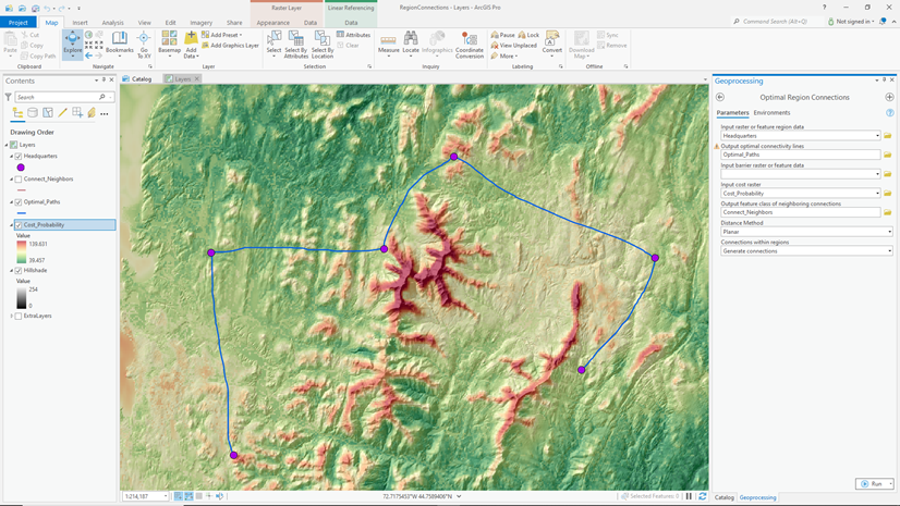
Connecting locations with optimal paths

Connecting locations with optimal paths, optimal networks, or corridors over an accumulative-cost surface.

Continue Reading

Determining how distance is encountered by the traveler

Calculating the rate the adjusted distance is encountered.

Continue Reading

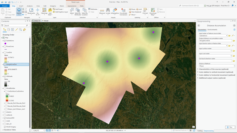
Calculating the distance between locations

Calculating the shortest physical distance between locations adjusting for barriers and the undulating surface.

Continue Reading

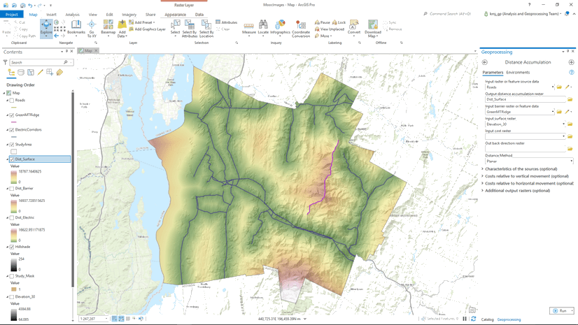
Distance Analysis Simplified

Demystifying the complexity of distance analysis

Continue Reading

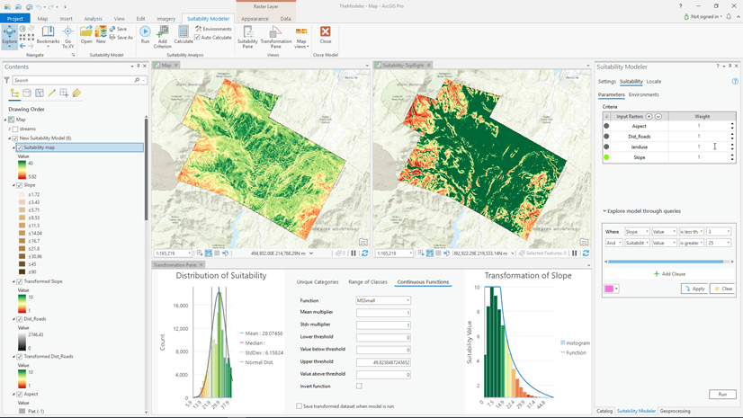
The new Suitability Modeler: Changing the way suitability models are created

Use the new dynamic Suitability Modeler to create better models from continuous feedback through interactive maps, plots, and panes.

Continue Reading

Creating accumulative cost surfaces using directional data

The SA team shows you how to use Path Distance with wind direction data

Continue Reading

Propose Wildlife Corridors for Key Species

Optimize wildlife conservation by identifying ideal habitats and connecting them with a least-cost path.

Continue Reading

Performing analysis with the Con tool

Con is one of the most used and powerful tools in Spatial Analyst. Let’s go through a scenario to better understand how the tool works.

Continue Reading