Today, Esri and the ArcGIS Runtime teams are proud to announce that the latest update release of the ArcGIS Runtime SDKs, version 100.3, is now available!
The theme of Update 3 is described as “Phase 1” of completing true support for 3D Web GIS across the APIs. In addition, it also delivers the following:
- Greater parity with the ArcGIS Platform as a whole
- Performance enhancements
- Critical bug fixes in the areas of better memory management and stability
Here are some of the highlights you’ll find in Update 3:
Support for web scenes
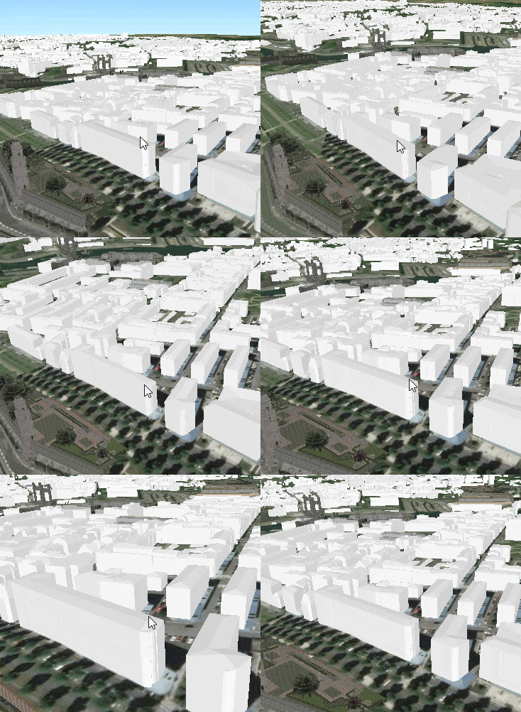
As part of the improved support for 3D Web GIS capabilities of the ArcGIS Platform, you can now display web scenes from ArcGIS Online or ArcGIS Enterprise in your ArcGIS Runtime based apps. Web scenes can be quickly authored by apps such as ArcGIS Pro and Scene Viewer and then easily consumed by your apps, respecting the content, symbology, popups and other settings that the author configured in the web scene. In addition, 3D content originating from scene layers can now be identified and selected, and their display can be customized through renderers in the web scene. And feature layers can be displayed with 3D symbols originating from web styles in ArcGIS Online or ArcGIS Enterprise.
Enhancements to scene analysis
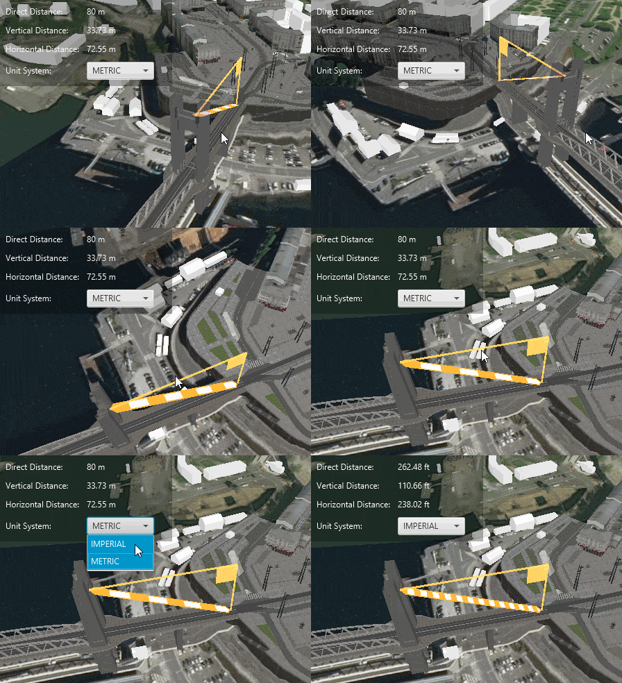
You can now build apps that perform interactive distance measuring in 3D. You can measure horizontal, vertical, and direct distances between two locations in a scene view.
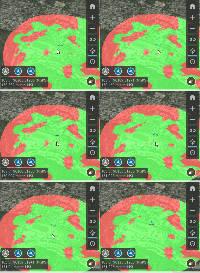
Viewshed analysis has been enhanced to support full 360 degrees horizontal field of view. Previously, only a maximum of 120 degrees was supported.
WMS enhancements
Update 3 continues Esri’s commitment to open standards by adding a few more significant improvements to WMS support in Runtime.
- WMS layers are now time aware and support filtering their contents based on a time range or time instant.
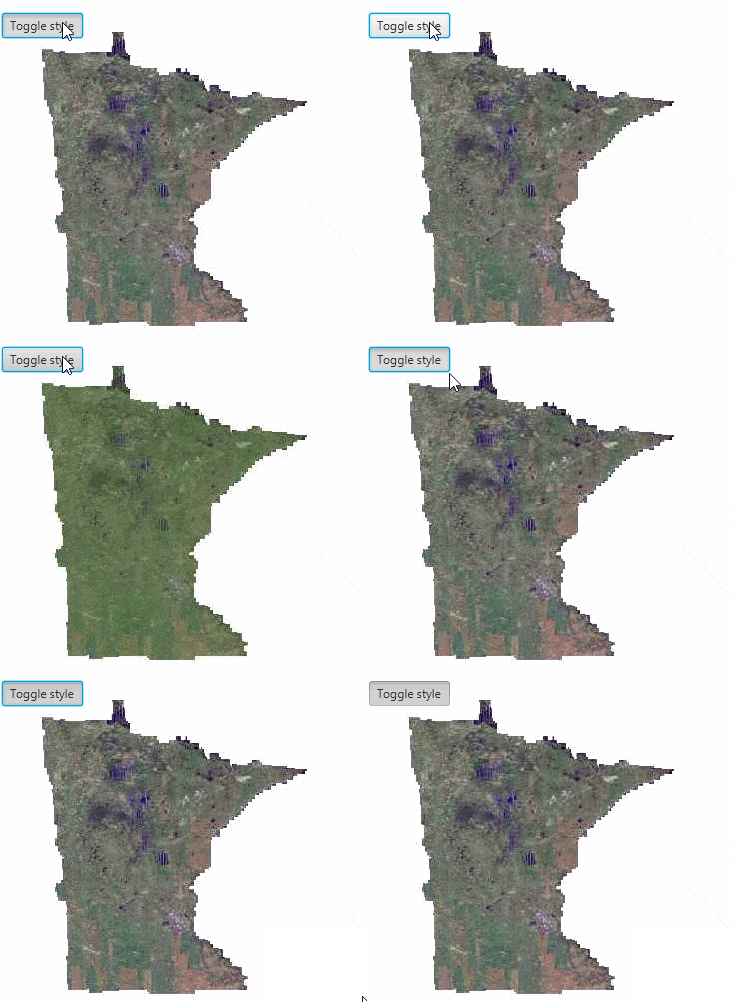
- The API can discover available styles in the service and set the style of a layer to customize its display.
- You can now specify custom parameters to be sent to the service. This is useful in cases where, for example, the service requires custom authorization parameters in the HTTP requests.
- WMS layers now automatically display attribution information of the service in a map view or scene view.
Labeling
Improvements have been made to provide finer control over label placement. These refinements allow for a more consistent display of labels when using mobile map packages generated from ArcGIS Pro. The API lets you:
- Allow overlap of a label with other features or labels based on weights to assign relative importance and define priorities when there is a conflict.
- Specify an offset distance of a label from the symbol based on screen units.
- Stack multiple lines of text with custom line separators and choose whether line break should occur before or after the separator, whether the separator should be visible, etc. Previously, only whitespace characters were considered for inserting line breaks.
Query support for map image sub layers
You can now query sublayers and tables from a map image layer in the same way you query feature layers. The query can be based on attributes and/or spatial relationships and can also be used to return summary statistics or related features. Also, a new method has been added to conveniently load all the sublayers and tables contained in the layer so that their data can be accessed.
Military symbology
Support for App-6(B) and App-6(D) military symbology specifications has been added in this update. You can use the corresponding style files to display symbols based on these standards in your ArcGIS Runtime apps.
SDK enhancements
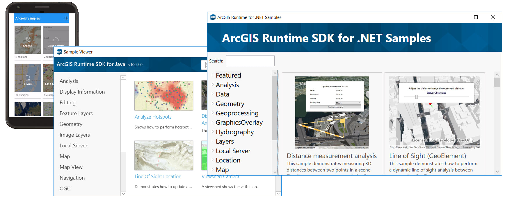
Since Update 2, over 100 new samples have been added to the Runtime samples repos on GitHub, across the board for .Net, Java, Android, Qt, and iOS ! The product teams did an amazing job in continuing a commitment to providing a world-class SDK for Runtime, and samples that demonstrate the use and best practices of the API play a critical part.
…And more
In addition to these important enhancements, each individual SDK provides a few new features for their respective developer communities. Please see the specific release notes for Android, Qt, .NET, Java, iOS and macOS for more details.
If you’re looking for the Local Server 100.3 installer, it’s still being finalized but will be available in the next couple of weeks. The Local Server 100.3 has been enhanced to support additional geoprocessing tools, and will support geoprocessing packages created from either ArcMap 10.6.x (*.gpk) or ArcGIS Pro 2.1/2.2 (*.gpkx).
Download and get started
To get 100.3, just go to the ArcGIS for Developers web site, browse the ArcGIS Runtime SDK home page of your choice and download the SDK. You can also get it through Nuget, Gradle, Maven or CocoaPods. If you are new to developing on the ArcGIS Platform and don’t already have an ArcGIS Developer subscription, simply sign up for a free account and you’ll be able to access to everything you need to develop your app.
Commenting is not enabled for this article.