Many users want to go 3D with their GIS and want to know where to start. Esri has just released a set of best practices for 3D-enabling your existing GIS to create your 3D city. A 3D-enabled GIS provides governments and the public with a better understanding of your city, the ability to better manage your existing community, and help design future changes.
Why 3D-Enable Your City?
3D-enabling your city will help your organization make faster and more informed decisions; thus saving money and delivering results to your community. Here are some ways you can take advantage of a 3D city to better manage your city.
Visualize new developments
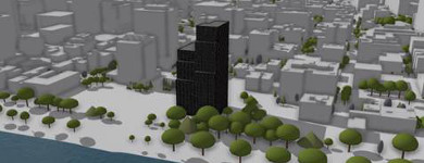
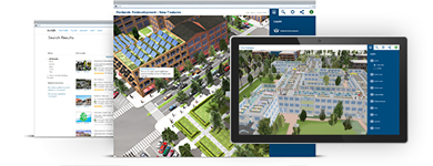
Visualize how a new development will look within the context of the existing built environment in full 3D—go beyond traditional artistic drawings and bulky physical models. Make it easy for everyone to view your 3D city using CityEngine Web Scenes to deliver lightweight 3D scenes to the browser with no plugin required. Share these web scenes with decision makers and the public to solicit feedback via 3D-enabled comments.
Understand Zoning Regulations
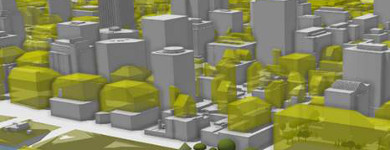
Transform complex regulations into easy-to-understand 3D shapes. Identify zoning violations and analyze development potential. Most cities have complex written documents describing the allowable development on a property. These include regulations on the buildable volume (layout and mass), form, style, and allowed use of the buildings or other functional criteria. Key elements within the regulations can be extracted and transformed into 3D zoning volumes.
Perform Solar Radiation Potential Analysis
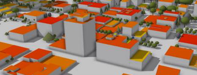
Find rooftops suitable for solar generation for a single building or citywide. Identify potential kilowatt-hours yield for installations according to rooftop shape and orientation.
Learn more about Solar Radiation Potential Analysis
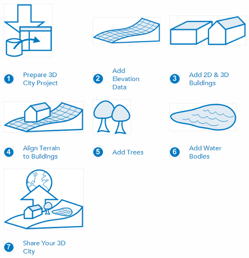
Get Started – Create 3D City Base Layers
A 3D city needs a set of base layers—terrain, buildings, and vegetation—to provide the foundation for design and analysis. The workflows provide you with a process for creating each of the foundational base layers. A project or template file is provided with the tools, City Engine rules, an information model, and sample data to help get you started. Step-by-step instructions guide you through preparing each layer using ArcGIS Desktop and CityEngine.
Take a Tour and Get Inspired
See a growing collection of example 3D cities from around the world; all built using these workflows and best practices.
Commenting is not enabled for this article.