The October 2020 update to the Community Maps Editor App included enhancements and new functionality.
Imagery Services
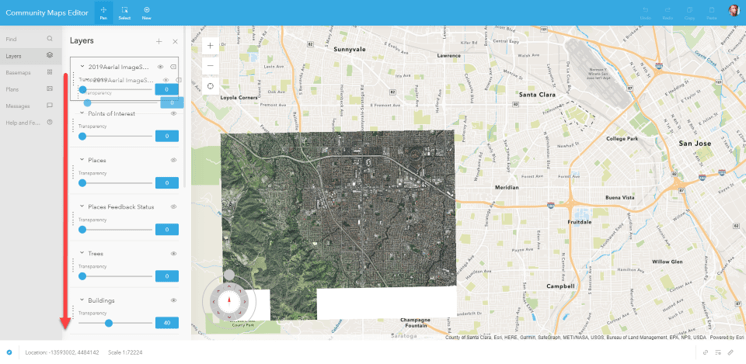
Users can now add their own imagery services into the CM Editor App. Many users have their own services that are newer or higher resolution than the World Imagery Service in ArcGIS Online. These services can be accessed in the Layers section and used to create features. See the help article how to add an imagery service to the Editor App.
Feature Services
Similarly to Imagery Services, a user might have some features in an existing Feature Service to be added to the CM Editor App. Add an existing Feature Service to the CM Editor App and then use this to copy and paste features into layers in the app. A Feature Service can also be used as a reference layer that feature can be snapped to in the CM Editor App. See the help article how to add Feature Services to the App.
Plan
Plans are drawings or documents that can be used as a reference image to create features in the Editor App. These plan images, like JPEG, TIFF, PNG, do not need to be georeferenced and can be geolocated in the app by skewing or rubber sheeting the image to the basemap.
If you were familiar with the last user interface there are a few changes that you need to learn to get your bearings.
User Interface Change
- The “Create” button is now the “New” button. This button will activate the panel on the right to select feature types.
- Turning on/off layers in the Layers Panel uses an eyeball symbol instead of a check mark. When the eyeball is greyed out and has a line through it the layer is not visible.
- Favorites – Layers that you use often can be saved by clicking the Star
- Cut/ Clip is now Cut/Trim. To change between Cut and Trim the button is now to the right of the app instead of being a hidden menu under the Create button.
- You can change themes in the app if you prefer a different look. Click your avatar in the top right corner, click Settings and select a new Theme.
- Copy Paste – The Copy and Paste of a feature is slightly different, but includes the ability to change the target layer. If you are copying a building but about to paste into Grass, you can simply change the target layer and paste into the correct layer.
Useful Tutorial Videos
These new instructional resources include introductory, getting started and creating features videos.

Article Discussion: