
GIS in Civil Engineering
Resources for teaching and research in higher education

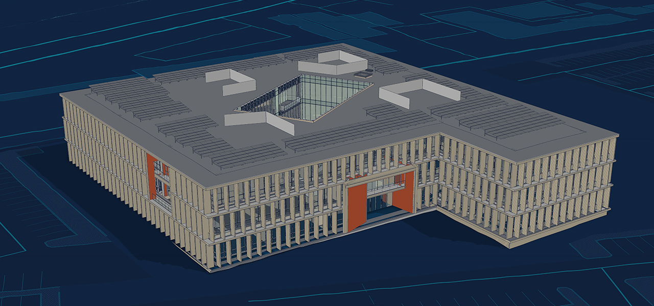
Spatial context is key to BIM & civil engineering education
Every structure engineer's design and build gets constructed in a real-world location. Yet often, the real world is ignored during the design process. GIS software helps students ground their designs and work in real-world context. Engineering students can begin to see how combining their designs with real-time, real-world contextual information saves time and money while improving their overall designs.
Get started
Enhancing a civil engineering education with modern GIS tools helps students create richer designs. Explore these foundational tools that bring spatial context to BIM and engineering designs.
Previous
Next
Need help accessing educational resources?
Provide your information, and we will reach out with updated lessons, trainings, and case studies.