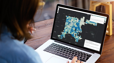
Maps and datasets
Explore authoritative geospatial data to visualize and analyze population variables such as race and ethnicity, internet access by age and race, race with highest median income, disability status, and more.


Get maps, datasets, tools, and guidance for racial equity
Explore authoritative geospatial data to visualize and analyze population variables such as race and ethnicity, internet access by age and race, race with highest median income, disability status, and more.
Applications can help aid better understanding and decision-making related to racial equity in your community or organization. Use these examples to get ideas on how you can create applications to address racial equity.

Explore GIS best practices, educational and training materials, templates, and how-to articles to help develop GIS skills relevant to racial equity. Explore tutorials that walk you step-by-step through workflows to teach valuable skills.


Access gender identity and sexual orientation data
Social Equity Analysis Solution Released
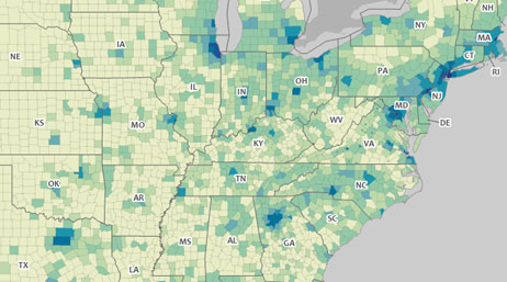
2020 Census Demographic Data Map Viewer
Creating an environment for racial equity
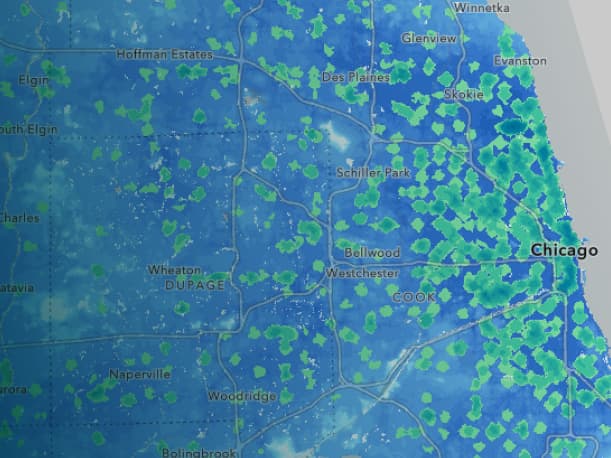
Measure and visualize digital exclusion

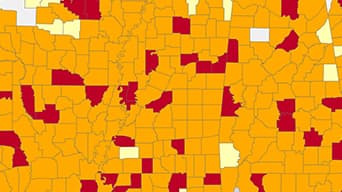
Apply the racial equity workflow using ArcGIS
For urgent GIS help responding to racial inequity, request support from Esri's Disaster Response Program.
The nonprofit program provides access to tools you need to bring location intelligence to your organization.