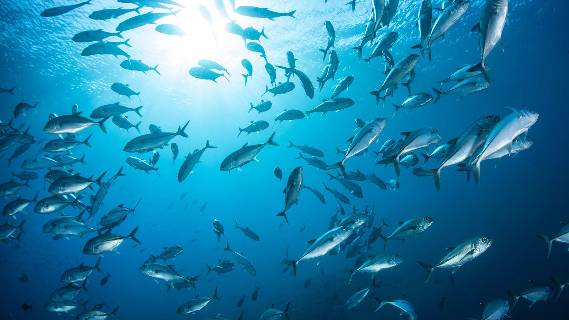
As the conservation landscape evolves and the world grows ever more connected, the importance of accessible, reliable, and comprehensive data has never been clearer. This year, a significant addition to the ArcGIS Living Atlas of the World is making waves—literally and figuratively. ProtectedSeas, a pioneering project committed to mapping and sharing global ocean protection data, is now part of this influential geographic resource. This exciting collaboration not only elevates the visibility of vital marine protected area (MPA) data, but also underscores the transformative power of community-provided content, expert curation, and the far-reaching benefits of making these resources available to all.
Introducing ProtectedSeas: Mapping Our Ocean’s Future
ProtectedSeas is more than a dataset—it is an ambitious, collaborative initiative aimed at enhancing understanding and stewardship of our planet’s marine environments. By providing detailed, standardized, and up-to-date information on marine protected areas and their regulations, ProtectedSeas empowers decision-makers, researchers, coastal communities, and advocates worldwide. Their contribution to the ArcGIS Living Atlas—the world’s largest authoritative collection of curated geographic information—marks a major milestone in the quest for healthy oceans.

The ArcGIS Living Atlas: A Home for the World’s Knowledge
At its core, the ArcGIS Living Atlas is a living, breathing repository of geographic knowledge. It brings together authoritative maps, layers, apps, and datasets from a worldwide network of contributors. The Living Atlas thrives on collaboration and community—drawing from government agencies, NGOs, academia, and passionate individuals to provide a rich, trustworthy resource of authoritative data for millions of users every year.
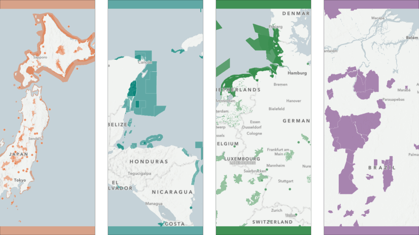
With the addition of ProtectedSeas, the Living Atlas strengthens its marine conservation offerings. Users can now explore up-to-date spatial representations of marine protected areas, complete with legal regulations and management information. This integration means that policymakers, educators, and explorers have seamless access to crucial data that can inform research, drive action, and inspire stewardship.
The Power and Importance of Community-Provided Content
ProtectedSeas’ journey into the Living Atlas is a testament to the vital role of community-provided content. Geographic data is never static; it grows, shifts, and refines as the world changes. The Living Atlas relies on a vibrant network of contributors to ensure its collection remains relevant and robust. Community-provided content, like that from ProtectedSeas, brings local expertise, fresh perspectives, and real-world insights that centralized data sources alone cannot match.
This model of open contribution also fosters a spirit of shared responsibility. When communities, organizations, and individuals can add and refine data, they become invested in its accuracy and impact. In the case of ProtectedSeas, their firsthand knowledge and ongoing engagement with marine protection efforts ensure that the information offered is both current and deeply informed by those closest to the issues at hand.
Curation: Making Data Meaningful and Reliable
Of course, the value of any dataset lies not just in its breadth, but in its reliability and usability. The Living Atlas is renowned for its rigorous curation—every contribution is reviewed, validated, and enhanced to meet high standards of quality. This process ensures that users—from scientists to students—can trust the data they find.
ProtectedSeas’ inclusion benefits from this curation, marrying the project’s meticulous research with the Living Atlas’s commitment to excellence. Datasets are not simply uploaded and forgotten; they are integrated, visualized, and updated to reflect the latest developments in marine protection policy and practice. The result is a resource that is both comprehensive and actionable.

High Use and Public Availability: Democratizing Access and Impact
Perhaps the most profound outcome of this collaboration is the availability of high-quality ocean protection data to the public – anyone, anywhere, can access and use these datasets. Whether you are a scientist tracking biodiversity, a student learning about oceanography, a policymaker drafting new regulations, or a concerned citizen advocating for your local coastline, the Living Atlas puts authoritative, up-to-date information at your fingertips.
This high-use, open-access model democratizes data. It bridges the gap between knowledge and action, making it possible for communities around the world to participate in decision-making and advocacy. The widespread availability of ProtectedSeas data means that marine conservation efforts can be more informed, more inclusive, and ultimately more successful.
Real-World Impact: From Data to Action
ProtectedSeas’ data in the Living Atlas is already making a difference. Researchers are leveraging these layers to identify gaps in protection, assess compliance with international agreements, and track conservation outcomes. Coastal planners and local governments use the data to align development with ecological priorities. Educators bring the ocean to life in classrooms, and NGOs use the maps to engage the public and advocate for stronger protections.
Moreover, the integration of ProtectedSeas data into the Living Atlas facilitates cross-sector collaboration. Conservationists, scientists, policymakers, and the public can all start from the same trusted information, building partnerships and strategies that are grounded in shared facts.

The Future: Expanding the Living Atlas, Empowering the Community
The addition of ProtectedSeas to the ArcGIS Living Atlas of the World is more than a technical upgrade—it is a symbol of what is possible when communities, experts, and technology come together. As more organizations contribute their knowledge, and as curation continues to ensure quality, the Atlas will only grow in value and utility.
Looking ahead, we can expect even greater collaboration, richer datasets, and deeper impact. ProtectedSeas’ contribution will inspire others to share their insights, knowing that the Living Atlas is a platform where data not only lives, but thrives—constantly evolving to meet the challenges of a changing world.
Conclusion: Charting a Course Together
The oceans connect us all and protecting them requires the collective effort of communities large and small. The integration of ProtectedSeas into the ArcGIS Living Atlas of the World is a powerful example of how open, curated, community-driven content can drive positive change. By making high-use, high-quality data available to all, we empower people everywhere to understand, protect, and celebrate our blue planet.
As you explore the new marine protection layers in the Living Atlas, remember: every map tells a story, and every story has the power to inspire action. Let’s continue to build, share, and steward the world’s knowledge—together.
ArcGIS Living Atlas: https://livingatlas.arcgis.com/en/home/
ProtectedSeas Map: https://arcg.is/1H0H9L
More about ProtectedSeas: https://protectedseas.net/


Article Discussion: