Featured trainingNew Course | Introduction to Indoor Mapping Using ArcGIS IndoorsLearn more about the course
October 4, 2023 | Multiple Authors | Developers What’s New in ArcGIS API for Python 2.2.0 (September 2023)
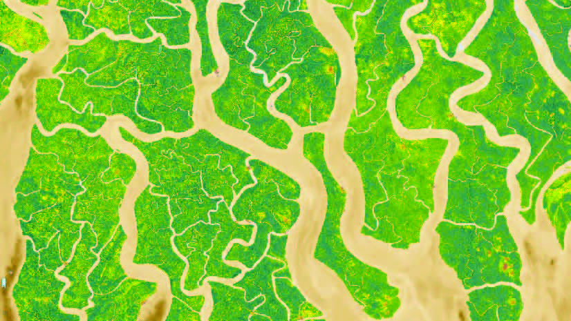
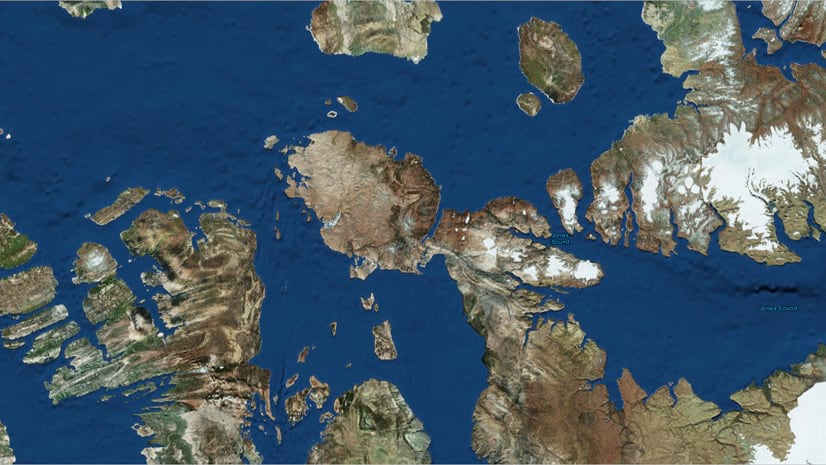
September 5, 2023 | Akshaya Suresh | Imagery & Remote Sensing Access a Vast Library of Satellite Imagery with New EarthCache Add-In for ArcGIS Pro
August 10, 2023 | Multiple Authors | Imagery & Remote Sensing ArcGIS for Microsoft Planetary Computer – FAQ
August 4, 2023 | Multiple Authors | Imagery & Remote Sensing What’s New in ArcGIS Image Dedicated (August 2023)
August 2, 2023 | Multiple Authors | Imagery & Remote Sensing Assess wildfire damage in ArcGIS Online – Part 2 (Host multidimensional imagery layer)
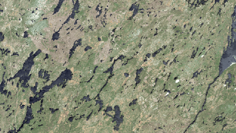
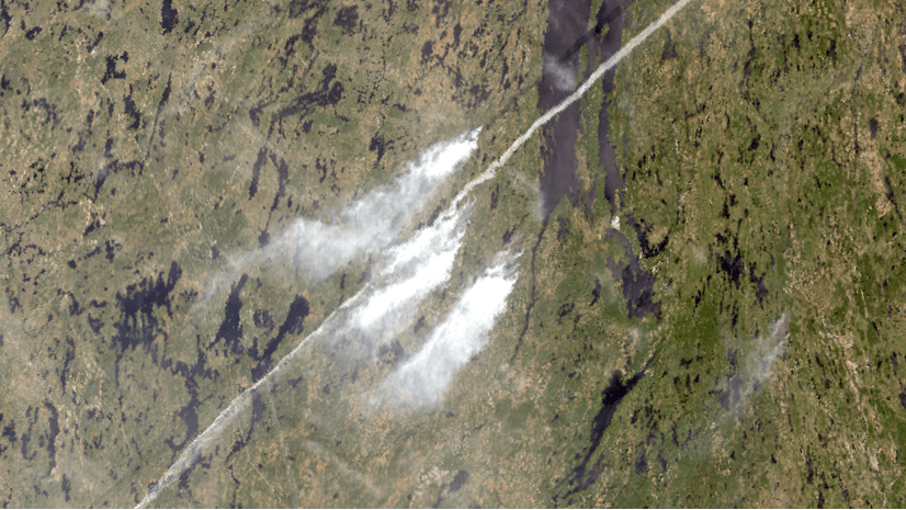
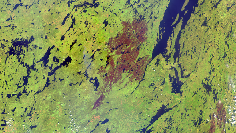
July 3, 2023 | Multiple Authors | Imagery & Remote Sensing Assess wildfire damage in ArcGIS Online – Part 1 (Create multidimensional imagery)
July 3, 2023 | Multiple Authors | Imagery & Remote Sensing Assess wildfire damage in ArcGIS Online – Part 4 (Host imagery layers)
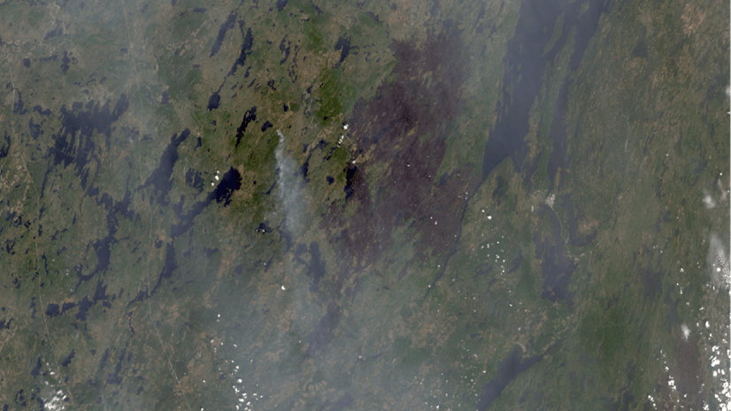
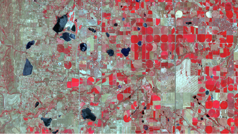
June 30, 2023 | Multiple Authors | Imagery & Remote Sensing Assess wildfire damage in ArcGIS Online – Part 5 (Assess damage)
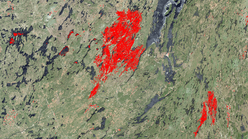
June 27, 2023 | Multiple Authors | Imagery & Remote Sensing Assess wildfire damage in ArcGIS Online – Part 3 (Review wildfire in time series)
May 11, 2023 | Akshaya Suresh | Imagery & Remote Sensing What’s New in ArcGIS Image Dedicated (May 2023)
March 28, 2023 | Multiple Authors | Imagery & Remote Sensing Toward a Comprehensive Developer Story Around Imagery
February 23, 2023 | Multiple Authors | Imagery & Remote Sensing What’s New in ArcGIS Image Analyst 3.1 (February 2023)
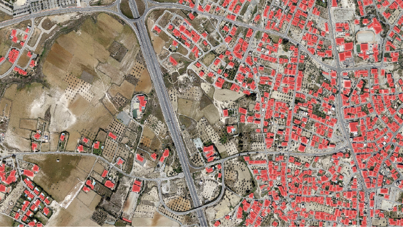
September 18, 2022 | Akshaya Suresh | Imagery & Remote Sensing New Pretrained Deep Learning Models (September 2022)
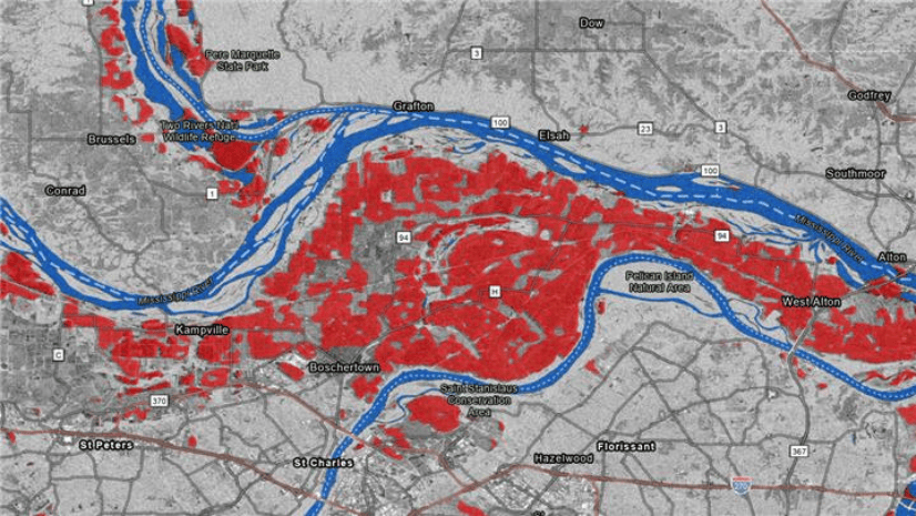
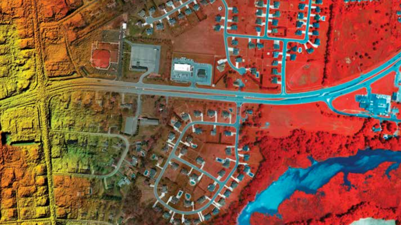
September 18, 2022 | Multiple Authors | Imagery & Remote Sensing Flood Inundation Mapping using Radar & AI
June 22, 2022 | Multiple Authors | Imagery & Remote Sensing What’s new in the ArcGIS Image Analyst Extension (ArcGIS Pro 3.0)
May 16, 2022 | Akshaya Suresh | Imagery & Remote Sensing New Pretrained Deep Learning Models (May 2022)
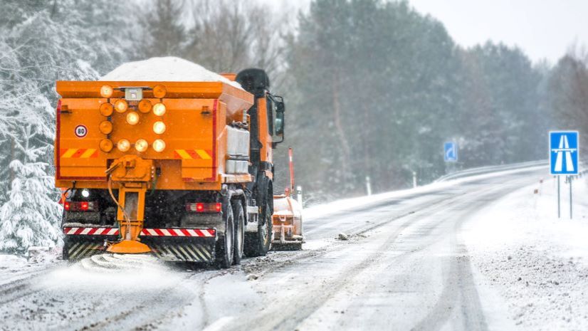
March 24, 2022 | Multiple Authors | Real-Time Visualization & Analytics A Real-Time Framework for Winter Weather Operations Using ArcGIS Velocity