Chad Lopez
Connect:

Chad Lopez works within Esri's Imagery and Remote Sensing team specializing in drone solutions. Chad has worked at Esri since 2018 and holds a GIS Professional Certification (GISP), a Part 107 Remote Pilot Certificate, and a Master of Science in GIS from the University of Redlands. Chad also teaches GIS part time at several higher education institutions in Southern California. Chad is based in Esri's Redlands, California office.

Posts by this author
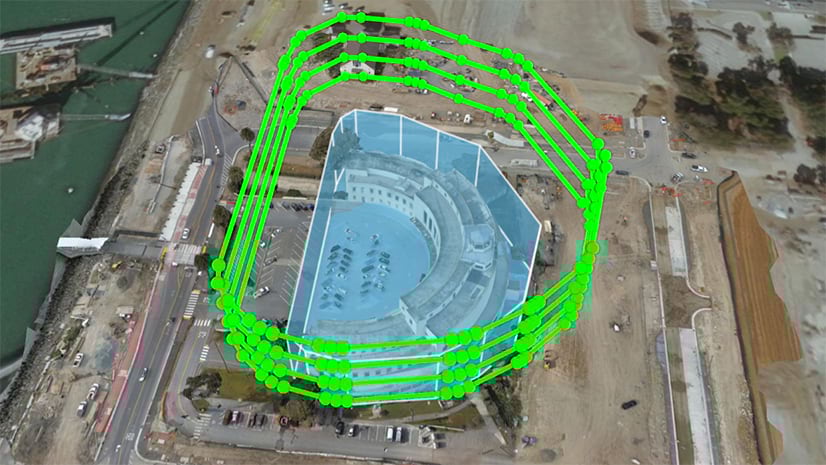
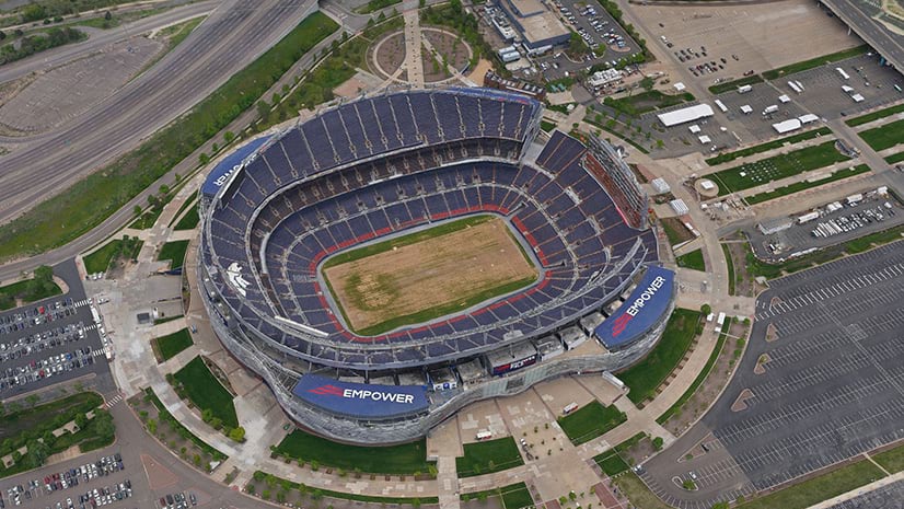
Using Lidar to Plan a Drone Capture of Empower Field

This article highlights a project that used Lidar data to create a unique drone flight plan for capturing imagery at Empower Field in Denver.

Continue Reading

Coordinate Drone Operations with ArcGIS Field Apps

Managing drone missions, fleets, and pilots can be challenging. This article explains how you can coordinate drone operations with ArcGIS.

Continue Reading

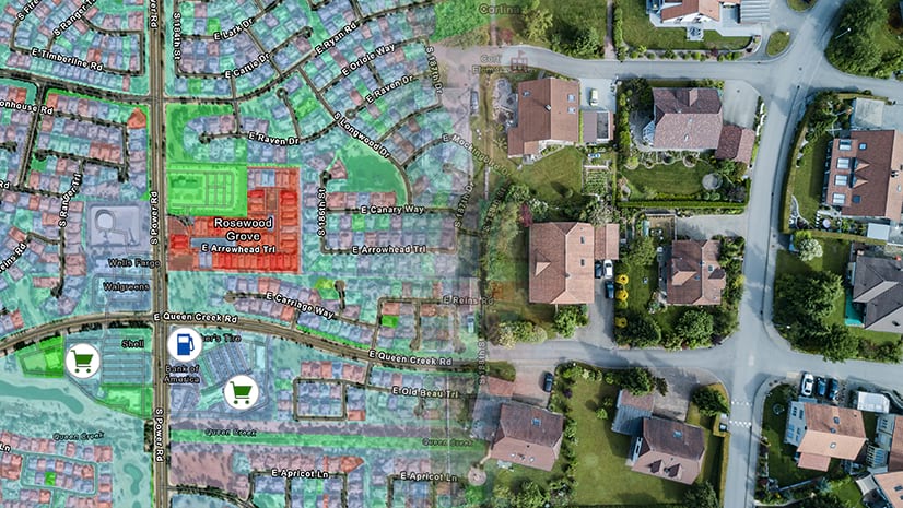
Using Imagery and Demographics to Address the Challenges of Rapid Urbanization

ArcGIS allows you to combine imagery and demographic data to help monitor issues that arise with rapid urban growth.

Continue Reading

How to Merge Orthomosaics from Multiple Drone Flights in ArcGIS Pro

In this article we will walk through how to merge orthomosaics from multiple flights into a single image.

Continue Reading

Share and View Your Drone Data Through These Three Microsoft Apps

Drone imagery can be added to Microsoft Teams, Microsoft Power BI, and Microsoft Excel to provide the perspective you never knew you needed.

Continue Reading

Using Drone-Derived 3D Meshes in Site Scan Flight Planning

This guide covers processing a drone-derived 3D mesh, sharing to ArcGIS Online, and using it in Esri's Site Scan flight planning app.

Continue Reading