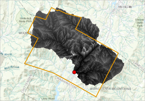
Check out the new ArcGIS Lesson on Predict Floods with Unit Hydrographs to create a unit hydrograph for a small to medium sized watershed using ArcGIS Pro, using a wide array of tools from Hydrology, Surface and other toolsets from the Spatial Analyst Extension.
A unit hydrograph, when combined with a rainfall-runoff model, can be a powerful tool in predicting floods. They are relatively easy-to-use tools for quantifying the effects of rainfall on a watershed, and can be used to obtain a reasonable approximation of the flood response of natural watersheds.

This lesson is divided into 5 parts, where you begin with preconditioning the elevation model to delineate a watershed. The workflow is then refined to create a velocity field to determine how fast water flows with a spatially variant, time- and discharge-invariant velocity field. Finally, an isochrone map is created to assess the time it takes the water to follow the flow path, and the unit hydrograph is generated at the outlet to predict flooding. You may download the data and follow the complete workflow to go through this analysis.

Article Discussion: