Explore innovative ways to use apps for your ArcGIS work in Chapter 7 of The ArcGIS Book
Apps are often built around targeted workflows that deliver streamlined user experiences. They’re designed to guide users through specific tasks, to show only the data required for that task, and to simplify how information is communicated.
Chapter 7 of The ArcGIS Book will get you thinking about app possibilities by providing many examples of apps that are being used to tell a story, engage with users, collect data, track and monitor objects and people, manage operations, and so much more. The Quickstart in this chapter walks you through your options for creating an app, from using out-of-the-box apps, to building apps without having to write any code, even to coding your own apps from scratch.
Abhi Nemani is a writer, speaker, organizer, technologist, and GIS power user. He serves as the first Chief Data Officer for the city of Los Angeles, where he leads the city’s efforts to build an open and data-driven LA. He is also the featured thought leader in this chapter. “I firmly believe the best way to connect with people is to go to where they are,” says Nemani. “We should not only be creating beautiful and elegant citizen-facing solutions, but also developing more effective tools for public servants to better serve the community: data analysis tools to prioritize service delivery, workflow systems to streamline communications, and data collection tools to speed up on-the-ground reporting, just to name a few.”
The Learn ArcGIS lesson in this chapter will have you create a before-and-after swipe map of the area that experienced a major landslide in Oso, Washington. You will add before-and-after imagery layers to an ArcGIS web map, save the map, and easily share the map as an app using Web AppBuilder for ArcGIS. You will build skills in the following areas:
- Adding layers to a map
- Using Web AppBuilder
- Changing map symbols
- Sharing a map as a web application
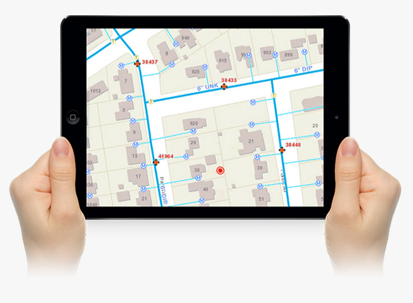
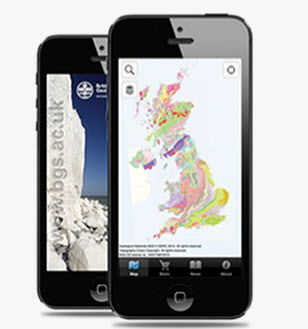
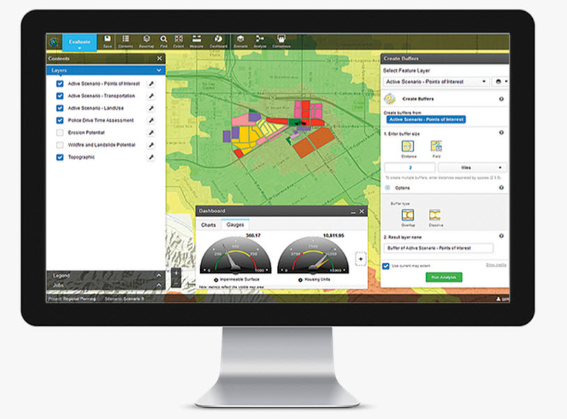
What GIS app will you build? Find your inspiration.
Article Discussion: