“I wisely started with a map, and made the story fit”
-JRR Tolkien
The map drawn by Christopher Tolkien for his father’s book is a simple and beautiful reference. Absorbed for hours by curious minds through several generations, traced by countless fingers over the decades, and soaked up by a host of imaginations—mine included—where it has become the gold standard of fantasy mapping. Here’s how you can assemble your own fantasy-style map, with real geographic data, inspired by this seminal Lord of the Rings cartography.
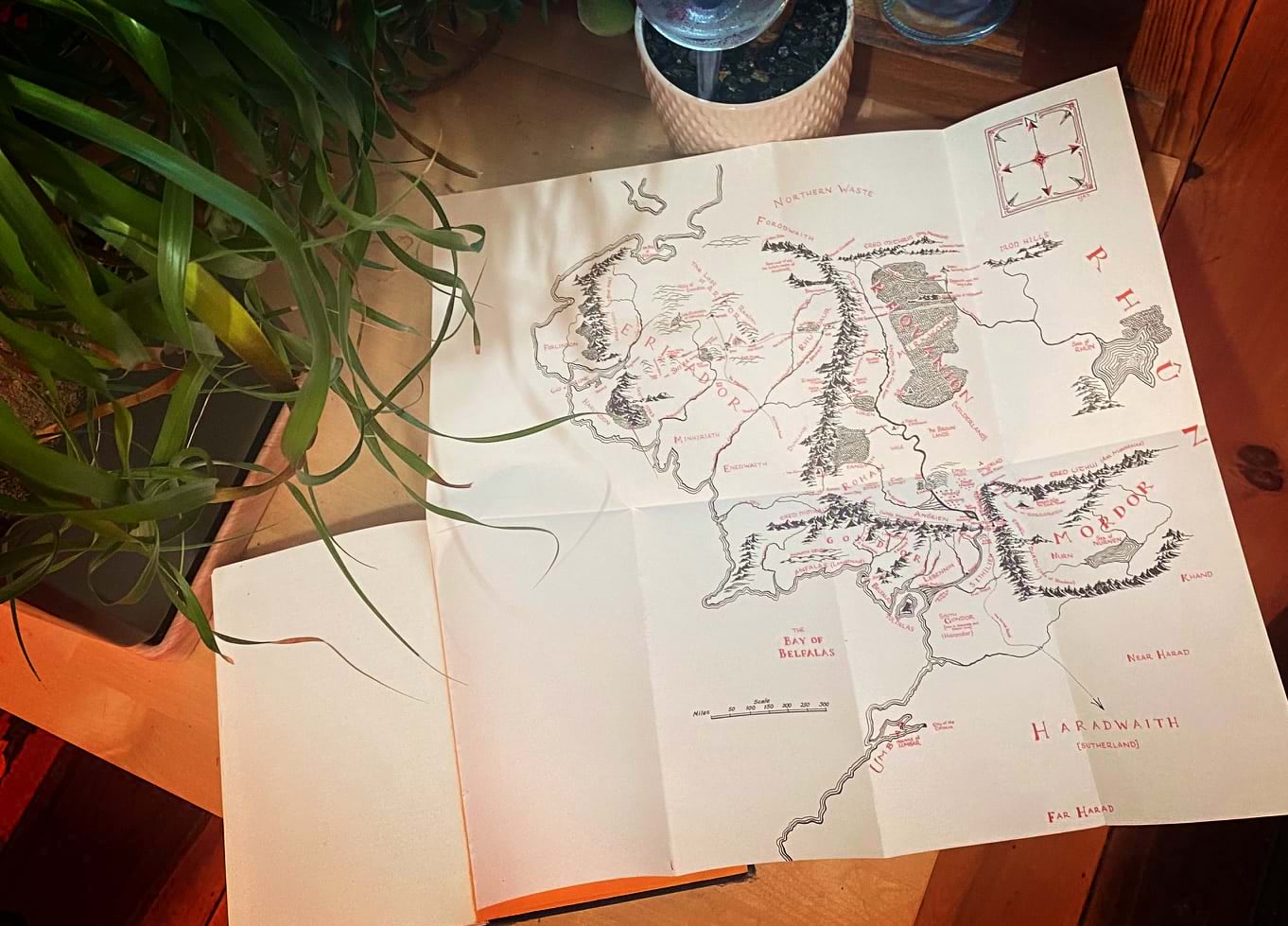
In this 4-part series we’ll walk through the reckoning of a Lord of the Rings style fantasy map, right in ArcGIS Pro. We map-makers get to breathe honest to goodness geographic life into the seminal aesthetic found in the LOTR cartography, and I think that’s a bit of magic just waiting around for us to wield.
If you’d rather just jump in to the making, you can find the “One Style to Rule Them All” style for ArcGIS Pro here: esriurl.com/nelsonstyles
…
Part 1: How to grow a forest
0:00 Pretty stunning intro
1:03 Deconstructing the forest components
1:27 Planting a forest perimeter
2:36 Filling in the forest with a repeating pattern
3:42 Those cute little tree trunks
5:01 Giving this map a paper texture
5:42 Personalizing with some shading and tinting
10:15 Save symbol to a re-usable style
…
Part 2: How to move mountains
0:00 Eye-wateringly dramatic intro
0:14 Examining mountains in Tolkien’s map
0:45 Photoshopping a mountain image asset
1:12 Wes Jones’ fantasy mapping channel
1:30 Add a mountain marker layer
2:36 Highlights
3:08 Add a foothill marker layer
4:28 Saving mountain symbol to a style
…
Part 3: How to fill the seas
0:00 Rapturous into
0:16 Tolkien’s water reference
0:50 Review of the previous symbols
1:16 Wavy scratchy rivers
2:56 Water tint
3:54 Coastal rake
5:38 Water line ripple ring things
6:54 Dark water!
7:33 Oceans
…
Part 4: Putting it all together
0:00 First, a reading
0:21 Where to find this style resource
0:36 Data sources (Natural Earth water features and Living Atlas Ecoregions)
0:54 How to add a style to a project
2:05 Adding a Living Atlas paper texture
2:45 Planting ecoregions in (Middle) Earth
3:18 Some examples
…
Thanks for following along on this unexpected journey! I’d love to see the fantastic maps you make and hope you’ll share them with the community for fun and encouragement. Here are some of mine…
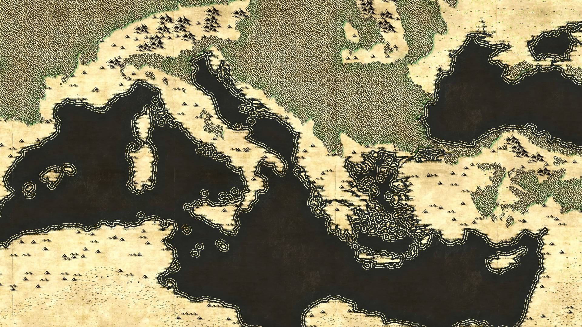
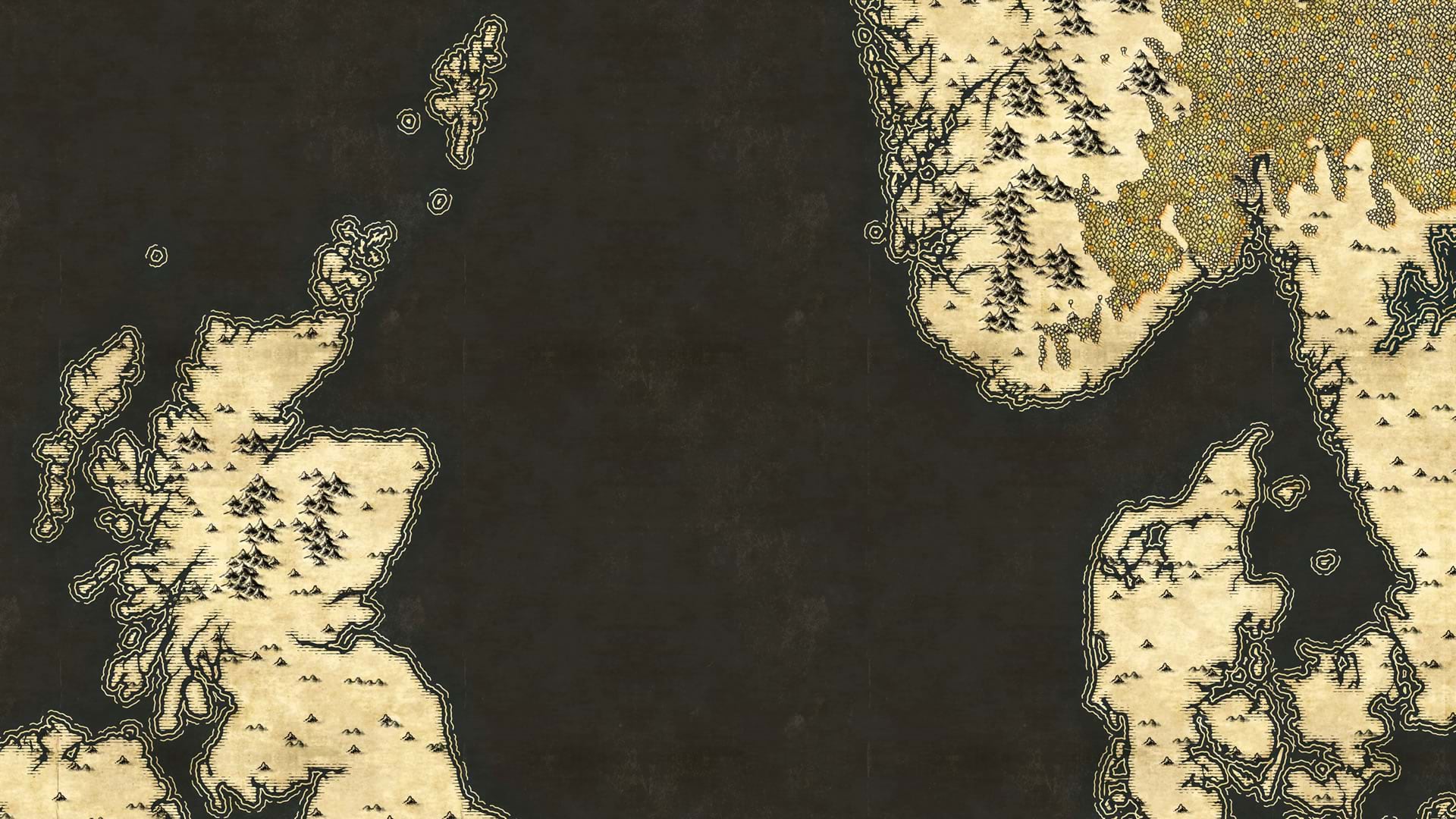
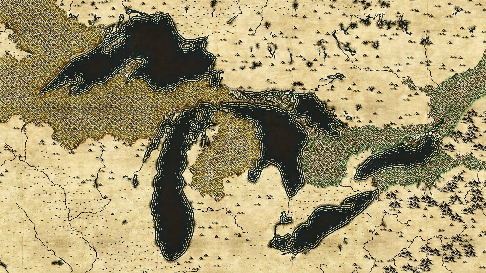
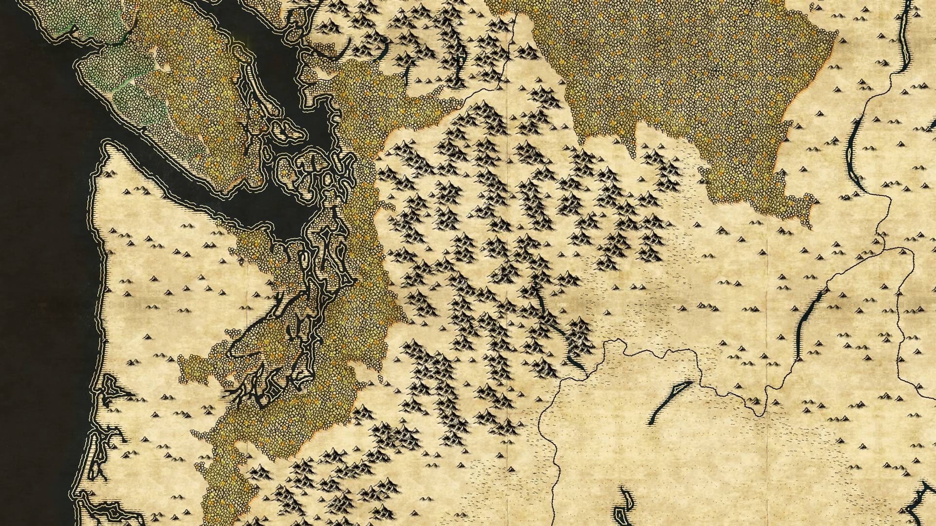
Happy mapping! Love, John

Article Discussion: