Located at the base of the San Gabriel Mountains, Rancho Cucamonga, CA is a thriving community with close proximity to major transportation hubs, access to highways and airports, and offers a Mediterranean climate. Coupled with a favorable climate and over 175,000 residents, local parks and outdoor recreation facilities are in high demand.
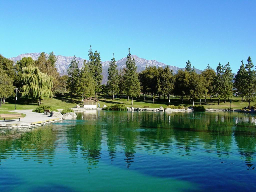
The City of Rancho Cucamonga is home to 31 parks that include amenities such as disc golf courses, picnic shelters, water features, pickleball courts, and more. These parks are dynamic in that amenities and features change over time in order to meet their community’s changing recreational needs.
In order to better inventory local park features, changing amenities, and provide a contemporary parks reference guide, the city’s Community Services Department turned to the Community Maps Editor. The Community Maps Editor is a web-based application that enables you to edit Esri’s Basemaps to add detailed features for universities, schools, parks, landmarks, and other special areas of interest.

Our department wanted something that would give us a clear and accurate representation of the parks and their amenities. We discovered the Community Maps Editor when researching different ways to enhance our parks maps and reference guide.
Before the city could begin updating the parks in their area of interest, they needed to better understand how to use the drawing tools and develop a workflow so they could efficiently begin adding features and amenities. The ‘Sandbox Version’ of the Community Maps Editor was the answer. The sandbox enables you to test and learn the tools of the app without saving the edits beyond your session.
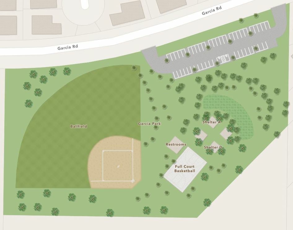
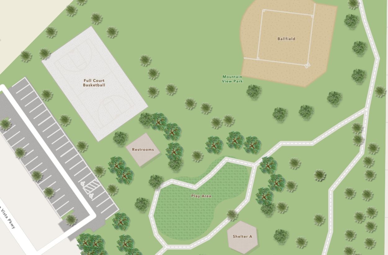
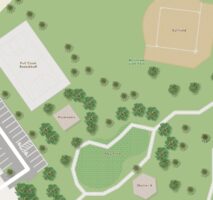
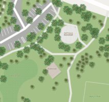
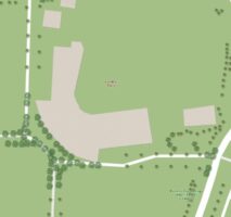
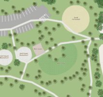
After getting accustomed to creating edits in the sandbox environment, they used the Community Maps Editor to update the park borders, trace over the existing amenities, and label all points of interest. The maps are used to show proximity of shelters to other amenities such as baseball fields, basketball courts, restrooms, and parking lots.
During editing, we realized that these maps could be utilized for more than just the hard copy representation we were initially looking for. The idea was to utilize these edits as a publicly accessible tool for the community to be able to discover what our parks have to offer.
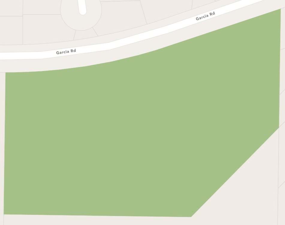
Explore a few of the completed parks throughout Rancho Cucamonga by clicking on the park gallery below.

Rancho Cucamonga’s Parks Locator App now serves as this publicly accessible tool that assists their frontline staff with streamlining their customer service, by providing the community accurate and contemporary information about parks and recreation areas.
This app has is all! Highly detailed and useful information. Take a look for yourself by exploring the interactive web app below.
Rancho Cucamonga Park Locator
Continued utilization of the Community Maps Editor will ensure that staff and the public always have the most up to date information as it pertains to our parks, which furthers the Community Services Department goal of providing an exceptional customer experience.
If you would like to learn more about the valuable community-focused work of the City of Rancho Cucamonga, click on the image below.
Learn More
If you would like to learn more about the Community Maps Program and the Community Maps Editor, try the links below for valuable resources and tutorials.
Tutorials
Enhance your area of interest with ArcGIS Community Maps Editor
Esri Videos
Getting Started with the Community Maps Editor App
Creating Features with the Community Maps Editor App

Article Discussion: