Through the Community Program organizations contribute their local geographic content which is published and freely-hosted by Esri. Everything from basemap layers such as parks and trees, to imagery and stream gauge data can be contributed.
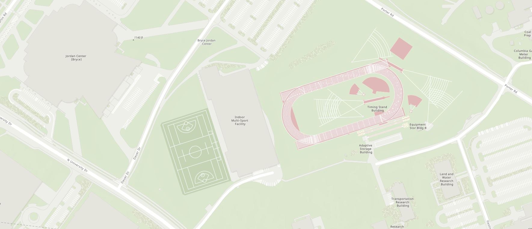
Detailed large-scale basemap layers and high-resolution imagery shared to the Living Atlas are what set Basemaps in ArcGIS apart from other mapping APIs. This is especially apparent when comparing some of the many college and university campuses. When our users contribute their data to the Living Atlas, basemaps are transformed into a valuable foundation that empowers them to accomplish more, as seen in the comparison of Penn State University’s campus below.
Latest Release
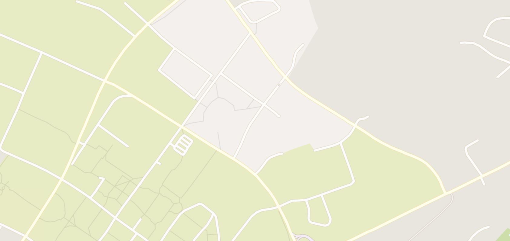
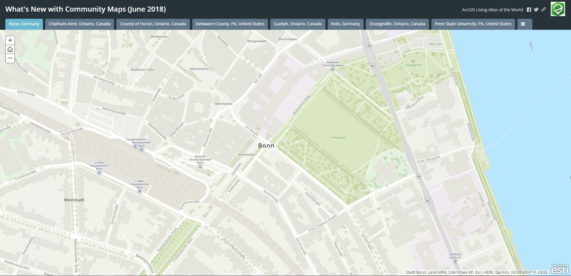
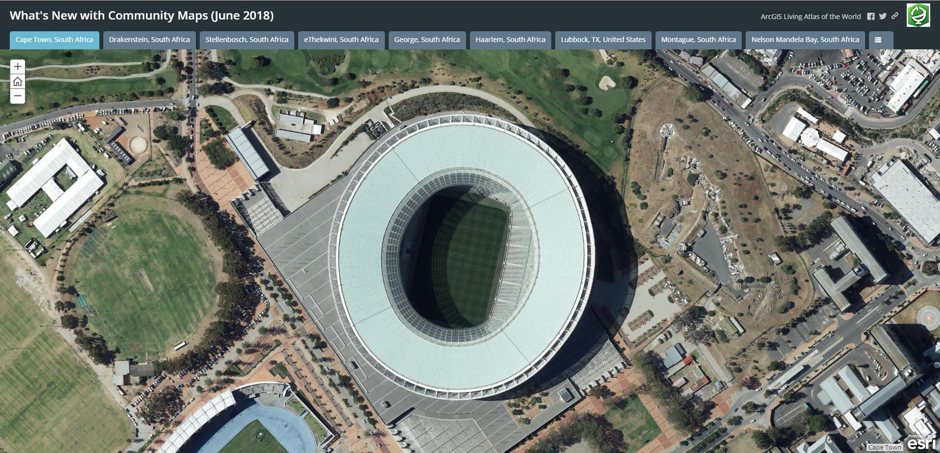
This month 51 communities have shared new and updated map layers in support of Esri’s expanding suite of high-performance basemaps and imagery services. Map layers include aerial photography, boundaries, buildings, owner parcels, parks, points of interest, trees, and similar large-scale features that enhance our foundational information sets for the world to use. Let’s tour our newest communities with these interactive Story Maps below.
How does my organization contribute?
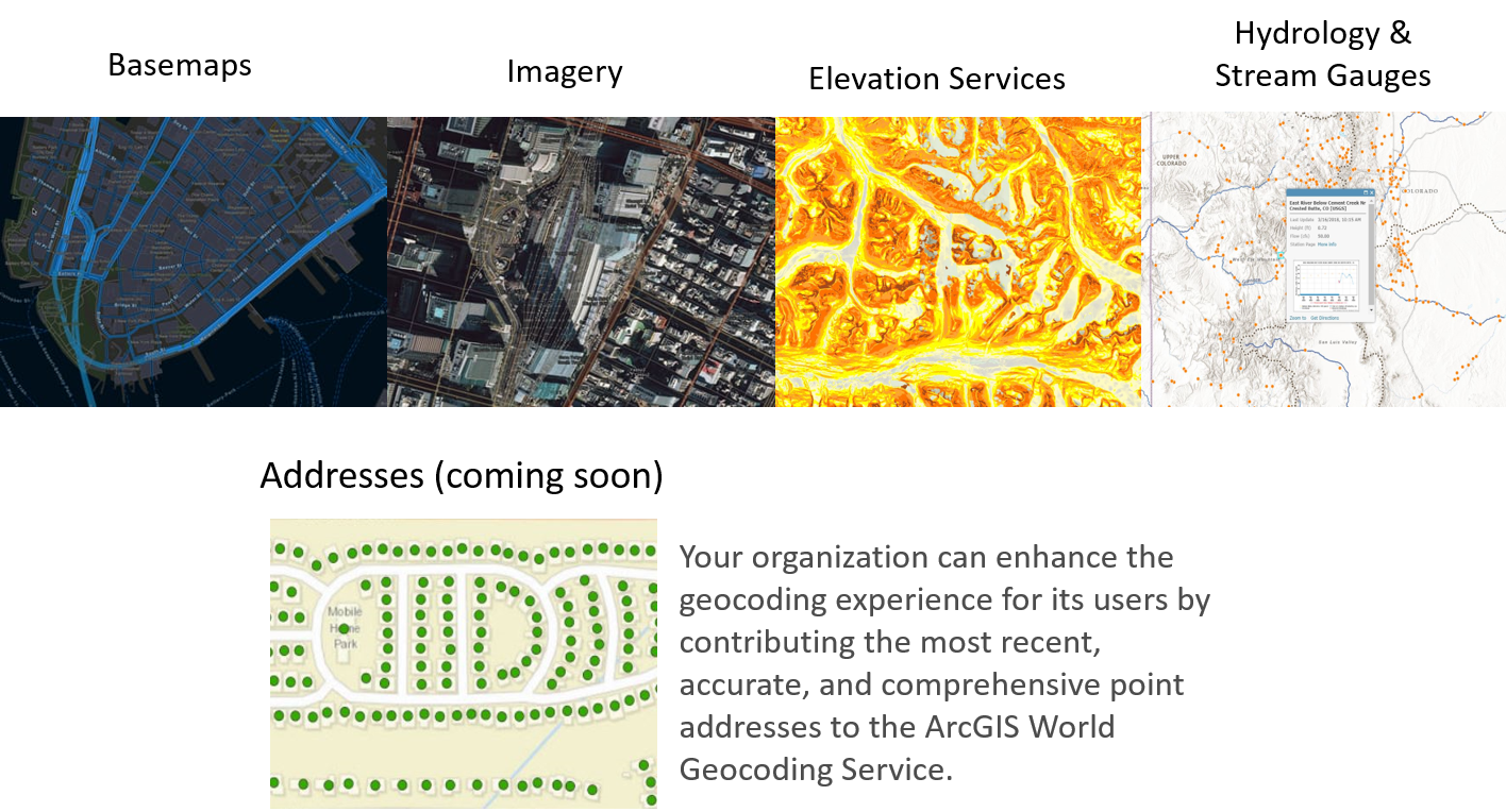
It’s easy! The Community Maps Program works with authoritative GIS data contributions to build the ArcGIS Living Atlas of the World consisting of reference and thematic maps covering a wide variety of topics. Community Maps members participate by contributing data in one or more of the following categories.
You can begin contributing by registering here!
Related Basemap Blogs
The recent update to Esri Vector Basemaps brings a handful of new features to the maps as well as a new style added to our collection. Read More >

Commenting is not enabled for this article.