Note: This blog covers the classic Esri Story Maps. Story authors are encouraged to use the new ArcGIS StoryMaps to create stories; however, Esri will continue to maintain the classic templates for your use. For more information, see the Product road map.
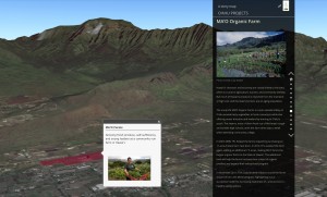
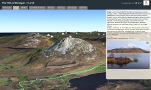
You may remember this post on using 3D web scenes in Story Maps from a few months ago. Since then there have been several Story Maps with 3D content (…Story Scenes?) published like this one from the Trust for Public Land and this one from Donegal, Ireland’s GIS department.
With the July 2015 release of ArcGIS Online you now have an additional option when embedding a web scene in a Map Journal or Map Series app: you can now choose the slide to show when the scene is loaded. (Not sure how to make scene slides? There’s help for that here.)
Specify the slide to show in an embedded web scene
Follow the same procedure in the previous blog post and add a parameter to the URL to specify the slide number; specifically, add a pound symbol (#) and the index number of the slide in your scene. For example, the URL below would show the fifth slide in the scene:
https://www.arcgis.com/.../viewer.html?webscene=ec20f...45402cda7&ui=min#5
A benefit of this method is that if you are using the same scene in several sections of your Story Map the scene will only load once, which will make the transitions between slides smooth.
It’s best to use the generic ArcGIS domain (www.arcgis.com) in your web scene URL rather that your organization’s domain (myorg.maps.arcgis.com) as this can cause a problem accessing your web scene if anonymous access to your organization is disabled. Also be sure to use https in the URL if your organization’s security policy settings require it. (Learn more about organizational security settings here.)
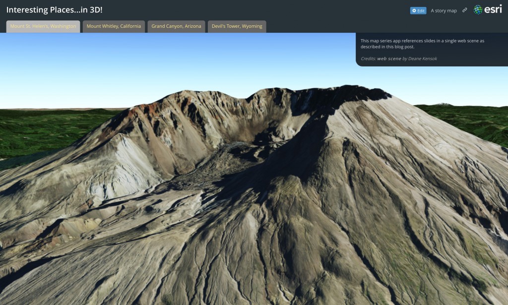
Here’s an example Map Series that uses this technique with this web scene of interesting places.
For more information
To learn more about web scenes see the ArcGIS documentation topics on how to Make your first scene and capture scene slides, and it may also be beneficial to understand the Scene viewer requirements.

Article Discussion: