Generalization is one of the most important tools in a map maker’s tool kit. Sometimes the complexity of our geometry needs to be smoothed out to best visually represent a place or appear best at various scales. Here is a way (complete hack, but surprisingly effective) to generalize polygon features on-the-fly, using symbol effects…deviously.
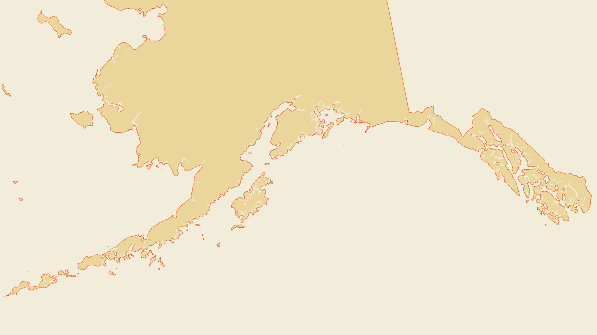
Because we’re using symbol effects, the visual generalization happens right away in the map without having to generate and manage a separate file, it uses non-geographic point units so it happily re-applies appropriately at all scales, and the magnitude of the generalization can be tweaked quickly and easily and visually. And because we’re just playing with the polygon symbology, we aren’t changing the underlying data.
Skip the how-to video below, and do this:
- In your polygon’s symbology panel, open up the “structure” (wrench) tab.
- Apply a global effect called “offset.”
- Apply a second global offset effect.
- In the “symbol” (paint brush) tab, set both offset effects to “accurate.”
- Apply the same offset value to both, but one is positive and one is negative.
Boom. Rapid, scale-independent, file-free, easily-tweaked generalization.
…
…
0:00 the elevator pitch
0:11 the good ol buffer-out/buffer-in generalization trick
0:20 thinking spatially lets us hack an unsuspecting symbol effect
0:32 add two global offset effects
0:39 set the offsets to be “accurate”
0:50 one offset is positive, one is negative
1:26 the importance of order
2:18 which one is better?
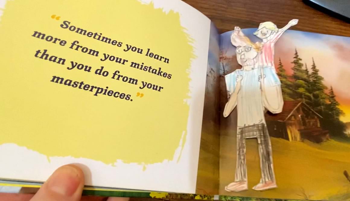
2:52 wise words from Bob Ross
…
But Why?
This is a pretty useful hack and it’s deceptively simple. In fact, when I stumbled on it yesterday my jaw dropped in surprise. I didn’t wake up with the goal of finding a handy alternative to standard generalization…I woke up with the goal of making a cool Lord of the Rings style water symbol. While goofing around with water ripples (which I do all the time for all manner of maps) using the offset effect for the polygon stroke, the water polygons grew too thick, overflowing their banks and making the lakes look larger than their geometry. So I thought I’d add a global offset effect in the opposite direction to counter the outline’s thickness. And I noticed the lakes appeared more generalized. Complex coastlines smoothed out into simpler coastlines.
Huh. That’s interesting. Did that just…generalize…the polygons?
Yes. And I have to admit, that’s how a lot of practical things comes about. At the edges. From play. A willingness to take a detour. Time devoted to aimless adventure. Ready, fire, aim.
When we allow ourselves the freedom to experiment, to carve out time for open play, good things happen. I often need to remind myself that my value to any organization lies in my imagination and creativity…not so much the button-pushing. To take time for experimentation, training, tutorial-following, what-iffing, or just soaking in the work of those that inspire us, that is professional development. Time not spent, but invested.
Anyway, I hope this comes in handy for you and you can more frequently and confidently flex your generalization muscles.
Love, John

Article Discussion: