May 14, 2026 | Michael Davidson | Announcements What’s New for BIM and CAD in the May 2026 release of ArcGIS Pro
May 14, 2026 | Multiple Authors | Imagery & Remote Sensing ArcGIS Pro 3.7: New Hyperspectral Imagery Tools for GIS and Image Analysis
May 14, 2026 | Reanne Barrette | Imagery & Remote Sensing What’s New in ArcGIS Reality for ArcGIS Pro (May 2026)
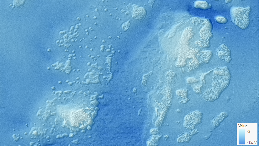
May 14, 2026 | Tania Lopez-Cantu | Analytics More Accurate Flow Direction at Any Scale: Introducing the Geodesic Method
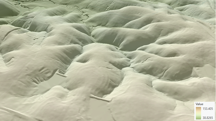
May 14, 2026 | Tania Lopez-Cantu | Analytics Modeling What’s Hidden: Accounting for Culverts in High-Resolution DEMs
May 14, 2026 | Jin Yin | Announcements Combine rasters for spatial decision making with the new Multicriteria Overlay tool
May 14, 2026 | Rakibul Ahasan | Analytics Convert continuous surfaces to actionable features with Raster to Weighted Points
May 14, 2026 | Caitlyn North | Announcements One Map, Many Views: Override Layer Visibility in ArcGIS Pro
May 14, 2026 | Multiple Authors | Electric & Gas Utilities What’s new for ArcGIS Utility Network with the 2026 Network Management Release
May 12, 2026 | Damian Vargas | Mapping True Orthophotos vs. Traditional Orthophotos: Why do pixels matter in the age of AI?
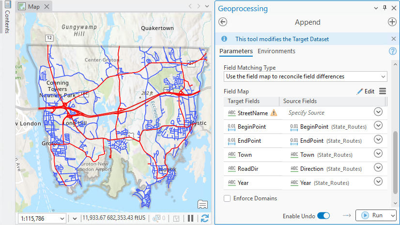
May 12, 2026 | Multiple Authors | 3D Visualization & Analytics Get coordinates right: Quality control essentials for BIM and GIS integration
May 5, 2026 | Multiple Authors | Mapping Wet Bulb Globe Temperature Layer is Available in Living Atlas
May 1, 2026 | Reanne Barrette | Imagery & Remote Sensing Reality Mapping Isn’t a Digital Twin—It’s the Visual Foundation That Makes One Trustworthy and Keeps It Up-to-date