Orbital Insight uses artificial intelligence (AI) and big data processing to provide analysts with geospatial-based insights. Orbital Insight’s GO platform synthesizes geospatial data from a wide variety of sources, from satellites to the Internet of Things, so that users can observe and react to changes along global supply chains.

Jens Tellefsen, Orbital Insight’s Senior Vice President of Product and Design introduced the company’s partnership with Esri at the 2021 GEOINT Symposium to much fanfare.
The most positive feedback came from Department of Defense and intelligence prospects, many of whom are avid ArcGIS users. Making the data integration more seamless saves them a lot of time.
Defense and intelligence organizations that are well versed in the use of geospatial technologies quickly recognized how integrating ArcGIS into GO creates an improved user experience. Orbital Insight’s retail analyst clients can orient themselves to any point in their supply chain. By seamlessly using both ArcGIS basemaps and the GO platform, they can better understand and predict their business’ needs.
We can bring geospatial intelligence to commercial institutions that haven't had access to it before.

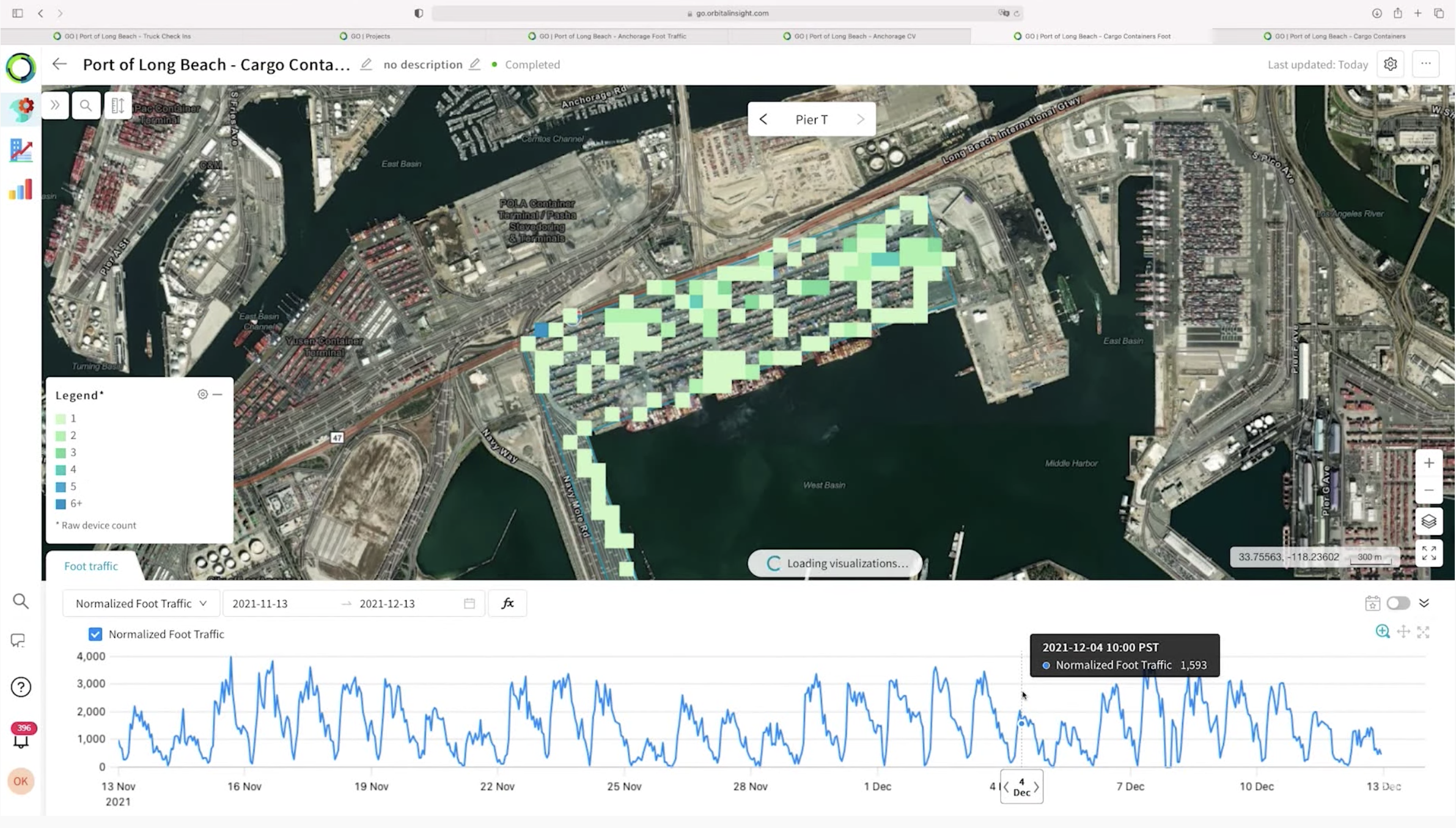
Increasingly, businesses in real estate, financial services, mining, and consumer packaged goods are monitoring their supply chains with GO. Companies like Unilever, BP, and Shell can stay up to date with changes in land or sea usage, infrastructure readiness, and human activities. It is now easier than ever for analysts to track wait times at anchorage, turnaround times at berths, delays at truck checkpoints, fluctuations in container counts, and changes in worker traffic at pivotal supply chain nodes.

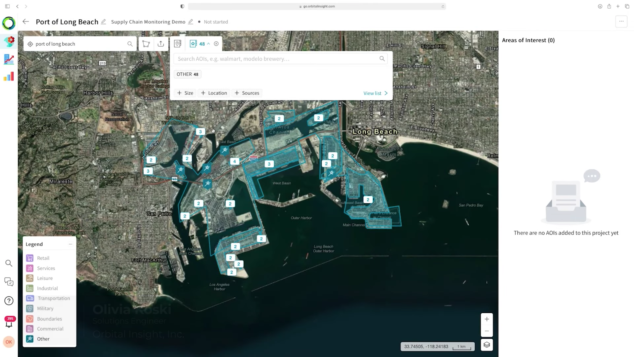
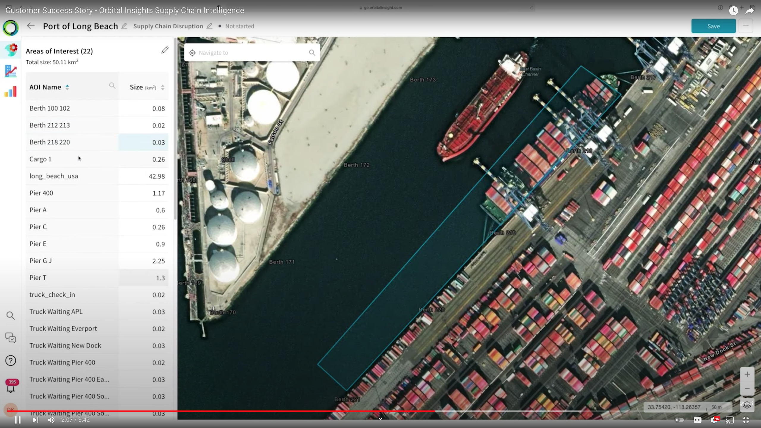
Esri and Orbital Insight are planning to grow this partnership in 2022, with Esri’s Geocoding and Entities SDKs scheduled for GO integration as early as Q2. The Orbital Insight Supply Chain Intelligence Supply Chain Intelligence customer success video demonstrates how Orbital Insight is using Esri tools to allow their commercial clients to monitor and quantify activity ports like the Port of Long Beach.

Article Discussion: