Preplanned offline map areas are a great way to prepare for working offline. Defined as part of your web map, they make work easier for both the GIS administrator in the office and the mobile workers as they head out the door.
The June release of ArcGIS Online further enhances the ability to optimize your inspection or asset inventory work by defining polygon offline map areas in addition to rectangular extents.
As compared to a rectangular extent, polygons offer the ability to minimize the download area size, while still maintaining the desired levels of detail needed. This flexibility is particularly useful when working with long linear areas such as road corridors or utility lines.
Let’s take a look at how you create these polygon map areas in ArcGIS Online for a map that already has preplanned map areas.
1. Create a new map area
Start by creating an offline map area for a web map that can be taken offline. Add the pertinent information, including a name.
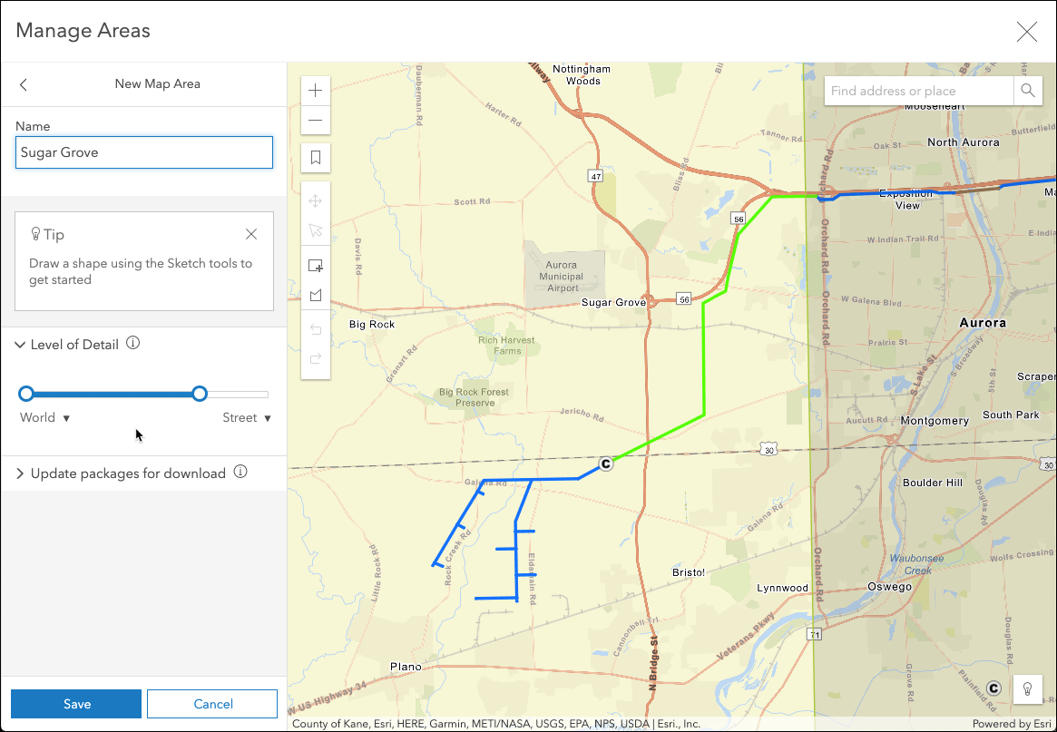
2. Sketch the polygon
Next, use the polygon tool to define the area.
Double click to finish the polygon.
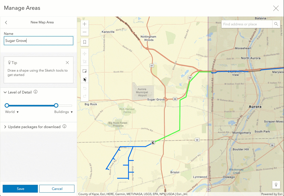
If the polygon shape doesn’t include the area you want to take offline, you can modify the polygon shape as needed. You can move or scale the area, or update a portion of the polygon include the desired area.

3. Save offline area
Click Save to create your offline area. This will begin packaging the offline area.
4. Download and use in Collector
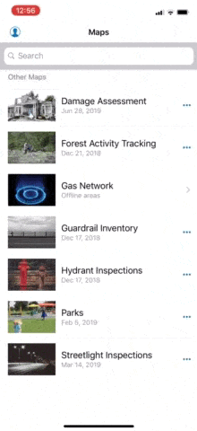
Once packaging is complete, this new offline map area is available for use in Collector.
Considerations
This initial support for polygon offline map areas does have some limitations. Currently support is limited to specific tile layers:
- ArcGIS Online vector tile basemaps
- Tile services hosted in ArcGIS Online
- Tile services in ArcGIS Enterprise 10.7 or higher
If other tiled layers are present in the map (as basemap or operational layers) the polygon sketch won’t be available, and you’ll need to use an extent rectangle to define your offline area.
More information
For more ways to improve working with offline map areas, see optimizing download and sync and referencing an on-device basemap.
What’s next
ArcGIS Online basemaps, such as Imagery or World Topographic, will also support polygon offline areas in future releases.
In addition, other field apps will soon take advantage of offline map areas, including Explorer for ArcGIS.

Commenting is not enabled for this article.