When Fiji won the gold medal in rugby at the 2016 summer Olympics, it was the country’s first ever Olympic medal.

Image source: Getty via www.independent.co.uk
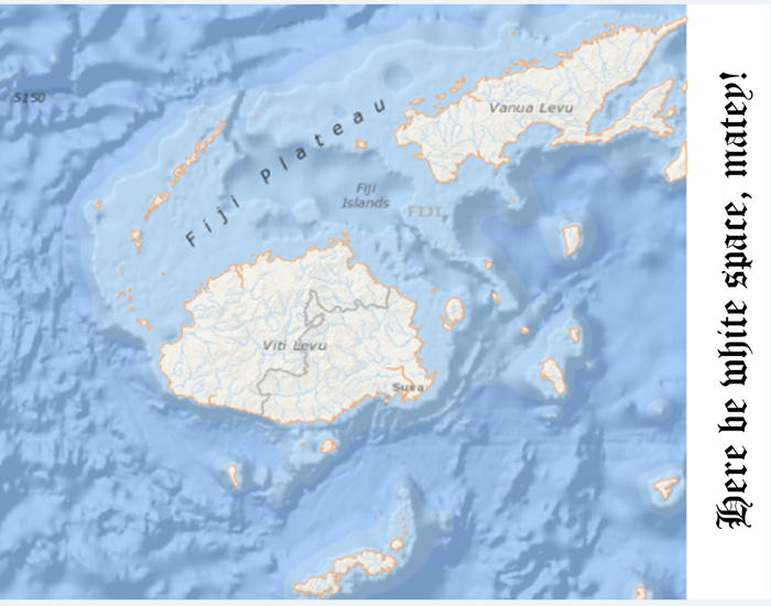
If you don’t know just where Fiji is, you’re not alone. It’s in the South Pacific, east of Australia and north of New Zealand, at the edge of the scroll-able world.
In a standard map view, you can’t see the whole country—which is made up of more than 330 islands—without doing a lot of panning. Part of the country is on the far right edge of the map, and part is on the far left. This is very inconvenient if you’d like to see the whole country at once.
ArcGIS Pro lets you set your map view to scroll continuously east and west. With continuous scroll, your work isn’t limited by the edge of a projection. Here’s how to set it up:
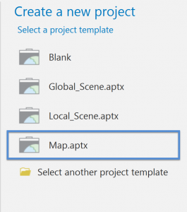
- Start ArcGIS Pro and select the Map.atpx template.
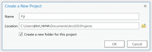
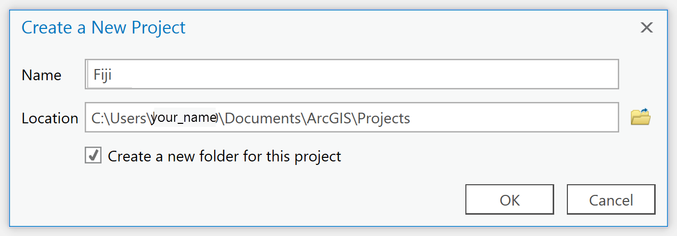
- On the Create a New Project dialog box, enter a name, such as Fiji and click OK.
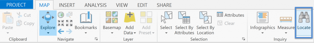
Your new project opens with a basemap, but it probably isn’t zoomed to the extent of Fiji, so you’ll need to find it.
- On the Map tab, in the Inquiry group, click Locate to open the Locate pane.
- In the search bar, type Fiji, and click the first location found by the Esri World Geocoder.
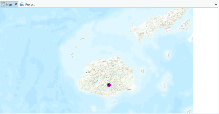
You can see the white space on the side of the map view where the projection ends. You can also see that it cuts right down the middle of one of Fiji’s islands. Let’s fix that.
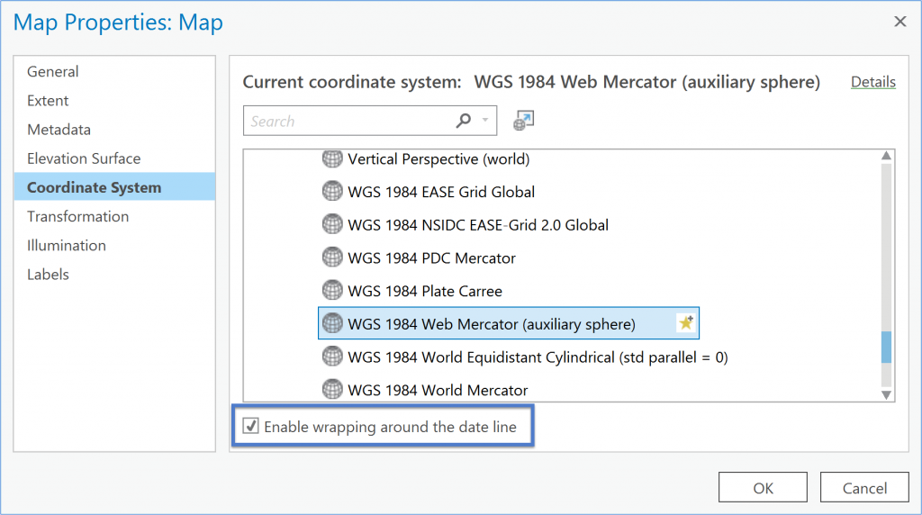
- In the Contents pane, right-click Map, and click Properties.
- On the Map Properties dialog box, click Coordinate System.
- At the bottom of the dialog box, click to select the Enable wrapping around the date line check-box and click OK.
Now you can see all of Fiji and scroll your map continuously to the east or west.


You can enable wrapping around the date line for your map if it is in a Web Mercator projection (the default for new maps) or a geographic coordinate system. It is also enabled for a few other projected coordinate systems, such as Miller Cylindrical and Plate Carrée. If you need to change your coordinate system, you can find steps in the ArcGIS Pro Help topic, Specify a coordinate system.
If you liked this ArcGIS Pro tip, you might also like this blog on Navigation Keyboard Shortcuts. If you want to see more tips like this, please tweet, share, and leave a comment below!
Article Discussion: