We are pleased to announce the newest updates to the basemap styles service v2 are now released!
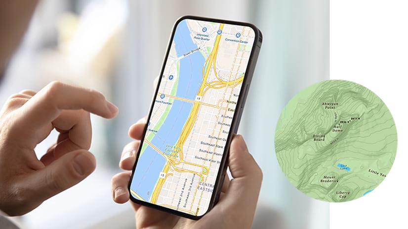
One of Esri’s key offerings is a rich variety of basemaps, including imagery and vector tiles, that provide a background of geographic context. Complimenting those flavors of maps are the styles that users would select from to show their view of the world. The variety of choices include streets, canvas, topography, and more than 50 others.
What’s new with the v2 service:
- New map styles have been added such as ArcGIS Outdoor and OSM Navigation (light and dark modes).
- Place label localization in 30 languages is now an option!
- A new URL endpoint that provides easy access to all styles and web maps.
To learn more about this service and the associated resources, keep reading!
New map styles
With this release, you have access to new map styles such as ArcGIS Outdoor and OSM navigation.
ArcGIS Outdoor

OSM Navigation

To get the code and view the new styles, go to the tutorials in the Esri Leaflet, MapLibre GL JS and OpenLayers guides.
Localized place labels
Another key feature of the new service is the ability for developers to build applications that enable users to engage with a map and display the language that applies to a particular geographic location in the world. Alternatively, it can also display a single language for all places around the world. All you need to do is affix the language parameter to the URL request and set one of the 30 available language codes. You can also set language to local to automatically switch to the local language as you navigate to different parts of the world.
Place labels in Japanese

New developer resources
As part of the release, we added content to the Mapping APIs and location services guide, which contains code and example applications demonstrating how to access the service. There is also a brand new REST API reference that documents all of the URL endpoints and styles.
New URL endpoint
The new URL endpoint, which is designed to align with REST principles, making it easier to use, understand, and interact with clients accessing the service. Similar to the basemap styles service v1, you can return the style as either web map JSON or JSON based on the Mapbox style specification.
Users can access over 50 different ArcGIS and OSM basemaps styles, including streets and navigation, imagery, oceanic, topographic, OSM standard as well as creative styles like nova and blueprint, along with localized place labels. To reference a style, you set arcgis or osm as the provider, webmaps or styles as the response JSON, and the basemap style you want. To see a complete list of basemap styles available, go to the API reference.
Ready to give it a try?
To start building apps with the new service, check out the Mapping APIs and location services guide and REST API reference. Remember to leave feedback using the feedback widget!
Accessing the basemap styles service
To access the service, you need the following:
- ArcGIS account: You need either an ArcGIS Developer account or an ArcGIS Online account. If you don’t have one, you can sign up for a free account here.
- Access token: You will need an access token, such as an API key. If you are using API keys, there isn’t a new API key scope for the service.
- Client API: You can now access the styles using the new Esri Leaflet vector plugin. You can also access endpoints directly with vector tile layers to display the styles in MapLibre GL JS or OpenLayers.
Note: You can also access the new service with ArcGIS Maps SDKs today and full support is coming soon.


Article Discussion: