ArcGIS for SharePoint allows you to map and search SharePoint content. You can visualize, organize, and interact with your SharePoint business data using insightful maps for better decision-making. You can display SharePoint lists, ArcGIS-hosted feature services, and ArcGIS web maps on an interactive map. You can also add layers to your maps from ArcGIS or your own data and publish maps to ArcGIS to begin sharing with others.
What’s new
With the ArcGIS for SharePoint October 2021 release you can use your map to geotag all your SharePoint documents with location-based information. You can quickly find those documents by clicking features on the map.
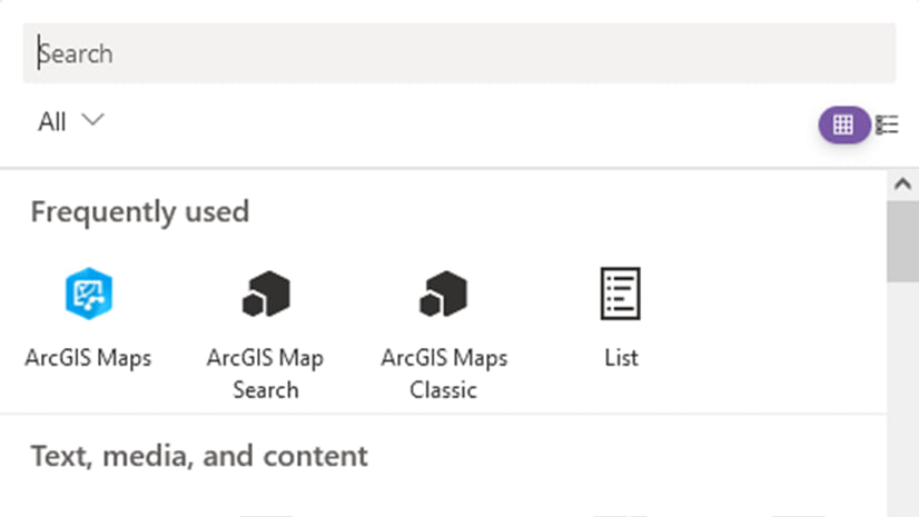
Get started with your ArcGIS for SharePoint experience.
Geotag documents
When you drag documents from your SharePoint site onto a location on the map, ArcGIS for SharePoint automatically generates geotags for those documents using the attribute specified for each layer at that location.
There’s no need to save the map or the SharePoint page. Once you’ve geotagged your documents, you’re done!

Learn how to geotag your documents.
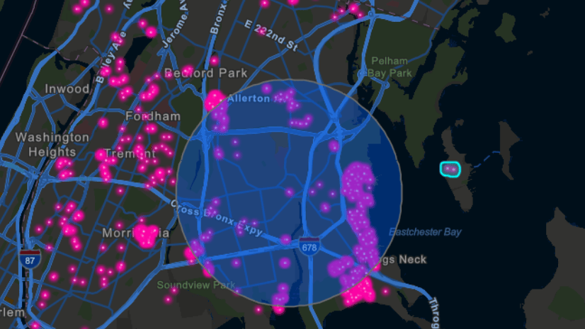
Once you have geotagged your ArcGIS for SharePoint content, you can locate it by clicking a relevant feature on the map.
Other quality enhancements include the following:
- You can access the Geotag and geosearch functionality with any ArcGIS Online user type.
- Support for additional geometry types such as point and polyline has been added.
- Support for additional file types with metadata and document sets while geotagging has been added.
- You can select a single document or multiple documents in a document library by dragging the pointer.
- You can drag the selected items to a feature on the map. Toast notifications indicating that the document is geotagged are now available.
- You can undo current geotagging.
- The search tool shows all the layers added to the map so you can search for values in the geotagged attributes in a layer. This includes the layers that were turned off during publishing.
- To geotag one or more documents to a feature, press the Ctrl key while clicking features. You can also click box selection and select multiple features before geotagging by dropping documents on the map. You can choose multiple documents or sets and drop them on the features.
- You can migrate previously geotagged documents from the search app to the ArcGIS Maps web part.
Conduct a geosearch of your geotagged documents
When SharePoint documents are geotagged, you can find them in your site collection and across your organization. Type keywords or click features on the map to perform a geosearch and locate your geotagged documents.
Learn how to conduct a geosearch.

You can now choose multiple search options and concentrate your search on focused information.
To narrow search results, click the Search by tags only, Search within current site, and Strict search checkboxes. You can add a more focused filter via the Advanced options for File type, Display author, and Modified date.
Smart quick-view pop-ups inform you of the contents of documents with a clean, polished, and interactive user interface. The example below shows a pop-up when you click a geotagged feature on the map:

When a map author publishes a geotagged map, everyone who can view the map can click a feature and view the links to the documents geotagged to that feature. The document then opens in a new tab, giving clean access to its information without a loss of the earlier pane.
ArcGIS for SharePoint documentation
Continuous improvement is our goal. The new help site continues to evolve in design with easy-to-access links. PDF documents are available through our archived help for functionality that is legacy content. To learn more about the product—such as system requirements, full descriptions of capabilities, and more—see the ArcGIS for SharePoint documentation site.
The Get Started page guides you through the steps to set up and configure the new ArcGIS for SharePoint app. Get ArcGIS for SharePoint in the Microsoft AppSource.
The Feature comparison topic compares which features are available in ArcGIS Maps Classic and ArcGIS Maps.
Read more blog articles, interact with experts, take a survey, or connect in the Esri Community to ask questions, share ideas, and let us know about your experiences with ArcGIS for SharePoint.
For more information and product news, see the What’s new help topic or view all ArcGIS for SharePoint posts.


Article Discussion: