We don’t normally blog about our patch releases, but the 24.2.1 update for iOS and Android includes a few noteworthy enhancements, as well as strategic bug fixes, that we want you to know about.
Before touching on what’s inside this release, we want to extend a massive THANK YOU to all the users and partners that came to speak with us at the 2024 Users Conference in San Diego. Listening to your stories and learning about your needs and challenges truly inspire our work.
What’s new in 24.2.1
This update rides the heels of our June 2024 release. It includes new and improved support for external GNSS receivers and support for searching RFID tags on the Android platform.
Emlid Reach RX
Emlid provides high-precision RTK GNSS receivers that work well with ArcGIS Field Maps on the Android platform. With the recent release of the Reach RX on the iOS platform, we are pleased to announce direct integration and support with ArcGIS Field Maps. Using Emlid Flow, you can connect to an NTRIP source and stream corrected positions to Field Maps. Read this Emlid documentation topic for details on integrating Reach RX MFi with Field Maps.
Trimble GNSS Receivers
The 24.2.1 release includes improved integration with the latest Trimble GNSS receivers. Pending a coming release to Trimble Mobile Manager, this update will include much requested support for Trimble R980 and Spectra Geospatial SP100 GNSS receivers. When working with Trimble GNSS receivers, make sure to read this article to ensure best practices for successful integration and accurate data capture.
Search RFID tags
The 24.2.1 release extends the InfraMarker Read capability to Android devices, completing feature parity with iOS. With the InfraMarker RFID app installed, tapping Scan RFID tag in Field Maps will open the InfraMarker app to read an RFID tag using a Bluetooth-connected RFID reader. Scanned tag information provides users with identifying the right asset in the field. On selection of the scanned result, user is navigated back to ArcGIS Field Maps to complete their inspections/field workflow.
Quality improvements
With each release, we focus time on improving the quality of Field Maps. If you encounter software issues, it’s important that you contact Esri Support so that we can be notified and you can be notified when we resolve them!
In this release, we have resolved many issues you’ve reported and that we’ve found. The most notable reported issues include:
- BUG-000168946 – issue when capturing photo attachments
- Refresh token issue reported in this Esri Community post
What’s next
Mentioned in the June 2024 blog, our next major release will launch this fall (November) and will include modest updates to Field Maps Designer with added support for creating new maps from templates and further refining offline configurations.
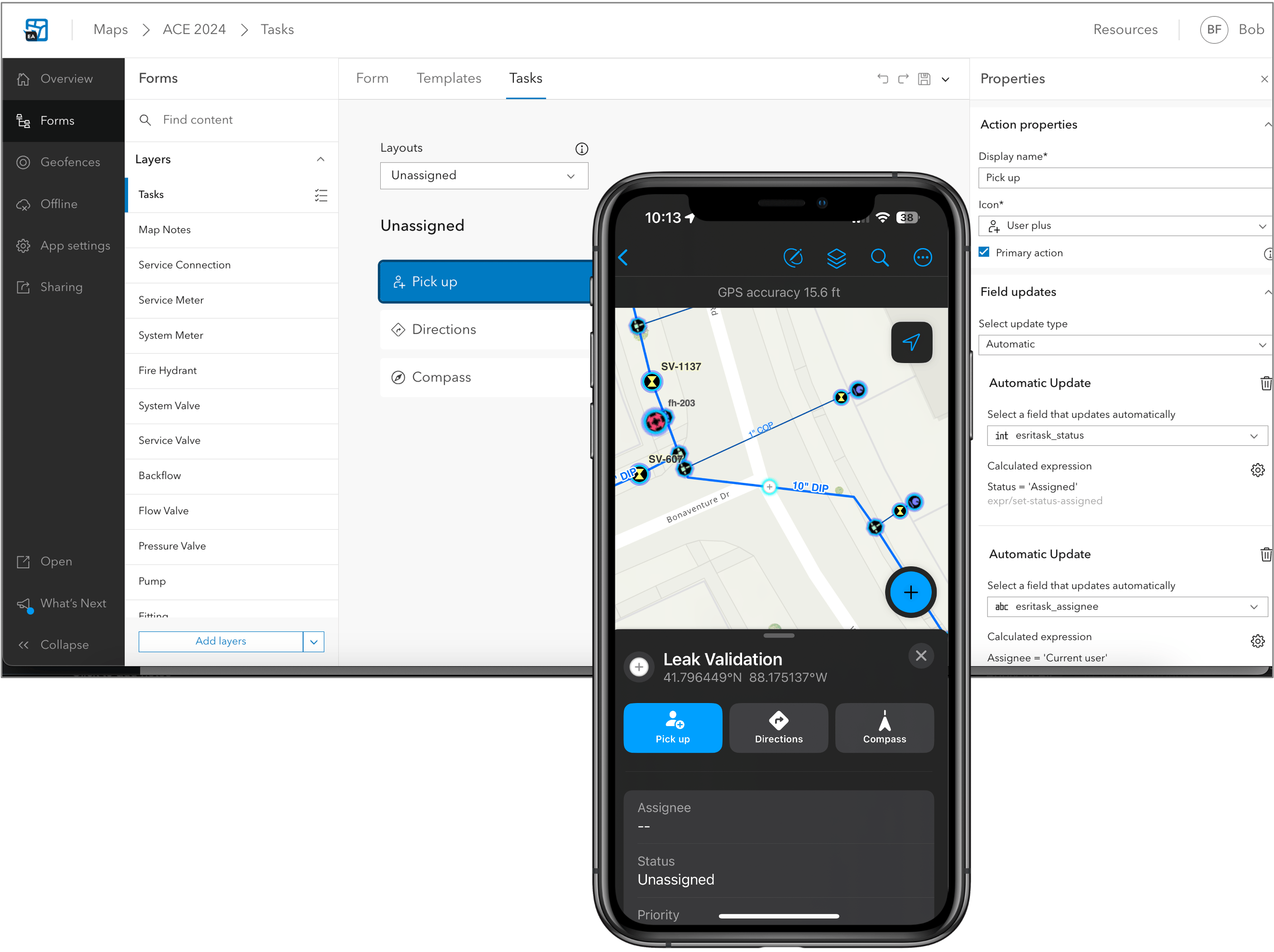
In 2025 we will update again with a very significant, new version of Field Maps for iOS and Android devices that will include a new field tasks capability, offline utility network viewing and tracing, a new personal markup experience, forms support with the Edit Multiple tool, Geofences that update when the underlying feature layer updates, and much more.

If you’re interested in testing early previews of these new capabilities, we’d love to have you join our public beta. Click on the following link and join the Early Adopter Community opportunity with your Esri global account.


Article Discussion: