Imagery is no longer just about pixels—it’s about insight.
With the rise of satellites, drones, and sensors, organizations are flooded with geospatial imagery. The challenge now is extracting value from that data quickly and at scale. ArcGIS Image Server meets this need by enabling on-the-fly analysis without the burden of preprocessing or downloads. In this blog, we’ll explore how this enterprise-grade technology transforms static pixels into intelligence.
The problem
Most organizations have more imagery than they can use—but are limited by how they can serve, access, and analyze it. Users, across all sectors—ranging from natural resources to disaster response to utilities—are capturing more imagery than ever. There has been an explosion of sensors in recent years with new capabilities launching continuously. We have several complex sensors including: SAR, multispectral, hyperspectral, and video. Each of these represent data to interpret and lead to some common challenges across sectors.
- Accessibility: Imagery is often siloed and underutilized due to lack of search, metadata, and integration tools.
- Latency: Real-time decision-making is slowed by large volumes and slow processing pipelines.
- Scalability: Organizations lack infrastructure to manage and analyze growing collections securely and collaboratively.
The result is that imagery delivery is delayed, siloed, and/or underutilized. This greatly diminishes the value when timely insights are needed and required.

What Image Server does
ArcGIS Image Server extends the power of ArcGIS Enterprise where it represents a powerful component enabling you to serve, process, and analyze imagery and raster data at scale. This server role is designed for handling and serving large datasets, performing deep learning, and running multidimensional analysis across an enterprise.
Image server can be licensed in two capacities: Image hosting and Raster Analytics. Image hosting enables the creation, publishing, and serving of Imagery data from registered data stores. Raster analytics is used to quickly process and persist large collections of imagery and raster data to create information products. ArcGIS Image Server is designed to serve intelligent imagery—not just pictures, but analysis-ready raster data.
Some of the capabilities include:
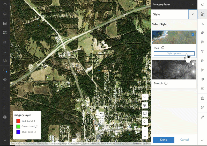
- Imagery Services: Serve imagery services for real-time analysis or fast visualization—ideal for basemaps or high-demand apps.
- On-the-Fly Processing with Raster Functions: Apply raster functions like NDVI for vegetation health, or Slope for terrain analysis—all without preprocessing.
- Scalable Raster Analytics: Perform large-scale analysis across massive datasets, such as land cover change detection.
- Interactive Visualization and Filtering: Select the imagery by applying filters based on attributes, time, or location. Alter the visualization by adjusting mosaic options and visualize results instantly in web maps.
- Time-Aware and Metadata-Driven Access: Show change over time by animating imagery of the area at different time periods (e.g., crop cycles or urban growth) using time-enabled imagery collections.
- Multi-Resolution Support: Seamlessly integrate imagery from drones, aerial surveys, and satellites—perfect for projects that span local to global scales.
- Deep Learning Integration: Run inference models directly on image services, such as detecting buildings, roads, or crop types at scale.
How it is delivered
ArcGIS Image Server can be deployed on-premises or in the cloud, with full support for AWS and Microsoft Azure. Using ArcGIS Enterprise Cloud Builder tools, organizations can quickly set up Image Server sites tailored for either image services or large-scale raster analytics. The deployment process aligns with standard ArcGIS Enterprise architecture, allowing you to assign specific servers to the Image Server role and scale based on your imagery needs.

Who it is for
ArcGIS Image Server is designed for users and organizations that work with large volumes of imagery and raster data, including GIS professionals or analysts, who need to visualize, analyze, and share imagery without heavy preprocessing and can benefit from image services and raster analytics at scale. These GIS Professionals may be a part of an organization with a large imagery collection of drone, aerial, or satellite imagery that require scalable infrastructure to serve and analyze imagery across departments or regions. Data scientists who integrate deep learning models for tasks like object detection or land cover classification directly on image services using cloud-based services. Developers who want to harness imagery layers to build custom apps and dashboards and need cloud-native services to hydrate their applications. Image Server is also for remote sensing specialists, who work with time series imagery to monitor change over time and are interested in imagery metadata and advanced raster functions.
Conclusion: Serving Intelligence, Not Just Pixels
Serving imagery today is about more than display. It’s about enabling workflows, extracting insight, and powering decisions. ArcGIS Image Server delivers on this vision by making imagery analytical, and scalable. If you’re still downloading GeoTIFFs and running desktop tools for analysis, it’s time to upgrade. ArcGIS Image Server turns your imagery into a live, intelligent service—ready for exploration, analysis, and action. Explore it. Deploy it. Scale it.


Article Discussion: