Achieving the conservation targets of 30×30 is an ambitious goal, and one that needs to be guided by data and stakeholder input. The Living Atlas is a great place to start that process with contributions from organizations like the U.N. World Conservation Monitoring Centre, Conservation International, and iNaturalist that can inform biodiversity and conservation planning.
And now that process is a bit easier.
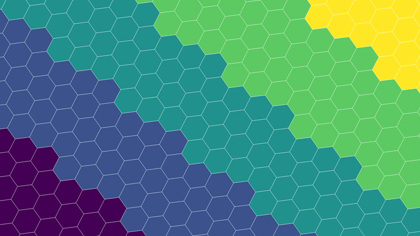
Global Environmental Hexagons
Esri is applying a geographic approach to some key biodiversity and conservation data and information that were contributed to the Living Atlas by the GIS community. Over 20 of the datasets are now summarized into 55 fields using multiscale, nested H3 hexagons. This StoryMap provides some more detail on them.
H3, developed by Uber, is a standard for mapping information, as it provides consistent and repeatable geographic units at multiple scales. Seven hexagons nest into the next largest level, and Esri processed 4 scale levels of summary information on these geographic units.

The Global Hexagons for Biodiversity and Conservation group layer provides data at levels 2-5, which range from ~87,000 to 250 sq km. What datasets were used for the summaries?
In the attribute table you will notice that each field has a consistent name, alias, and long field description across the 4 levels. There’s also a detailed pop-up.
Biodiversity and Conservation is just the first theme in a series of feature-based analysis-ready summarization layers, and we’d love to hear which other environmental themes would help support your work. Please also suggest improvements to this layer in the comments below.
Using the Global Environmental Hexagons
We hope that these new layers can jumpstart your exploration, mapping, and analysis. Here’s a few ideas about what you can do with them.
- Create multivariate maps
- Use one variable to filter or apply feature-specific effects to emphasize another
- Calculate a Composite Index of multiple variables
- Use the Find Similar tool
- Summarize your own data using blank H3 hexagons and join the fields using the GRID ID/Hexagon ID.
Start exploring some of these ideas using the Global Environmental Hexagon Atlas.


Hello! It was not discussed on what User Type and Role is able to Update a feature layer.
Hi Krystal, you must be the owner or administrator to update a feature layer.