Jeremiah Johnson
Connect:

Jeremiah Johnson works within Esri's Imagery and Remote Sensing team, specializing in drone solutions. In 2015, Jeremiah was honored to have been named one of the “Top 40 Geospatialists under 40” by xyHt Magazine. Jeremiah holds a degree in Spatial Sciences from Texas A&M University and is a certificated airplane pilot, in addition to holding a remote pilot rating. Jeremiah is based in Esri's Berkeley, California office.

Posts by this author
Creating City-Wide 3D Meshes with Drones

Mapping the city of Zurich, Switzerland, using the latest WingtraOne Gen II VTOL and Esri’s Site Scan for ArcGIS.

Continue Reading

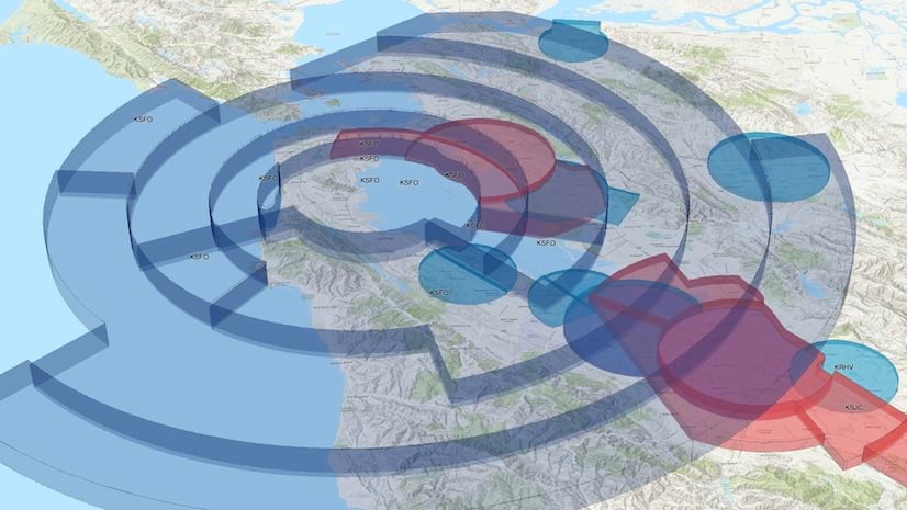
Site Scan for ArcGIS: Now with Airspace Link Integration

The Site Scan flight planner now includes an integration with Esri business partner Airspace Link to provide airspace overlays and LAANC requests

Continue Reading

Site Scan for ArcGIS: Frequently Asked Questions

Learn more about Site Scan for ArcGIS, an end-to-end software solution from Esri for acquiring and processing drone imagery.

Continue Reading

Site Scan Flight Planning v4.0 Release

Enhancements include ArcGIS integration, planning complex drone flights with ease, and increased situational awareness during flights.

Continue Reading